SPH Engineering SkyHub Onboard Computer
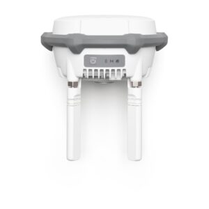
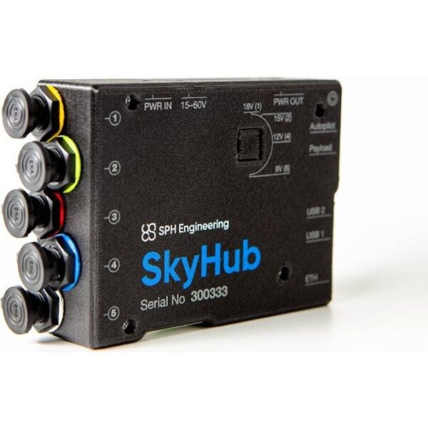
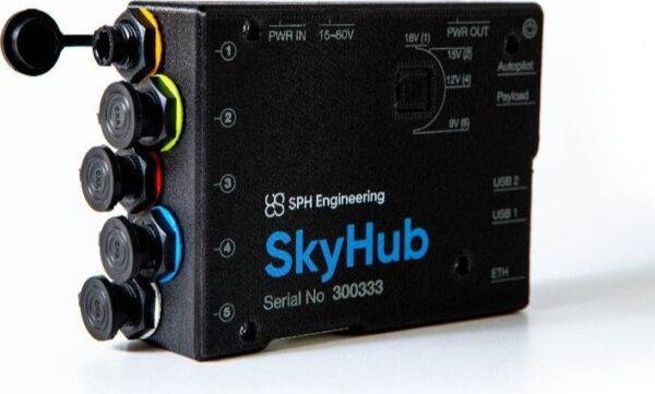
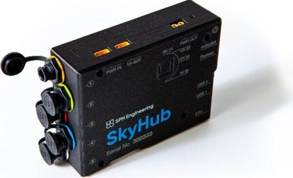
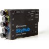
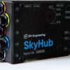
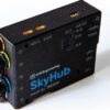
SkyHub is the onboard computer at the heart of every SPH Engineering integrated system. It logs geotagged data from sensors such as ground penetrating radar, magnetometers, echo sounders, methane detectors and altimeters, synchronising each reading with the drone’s position. Combined with UgCS mission planning, SkyHub turns a standard enterprise drone into a fully automated geophysical survey platform.
How to Install the UgCS SkyHub

One hub for every sensor
SkyHub is the common link across the SPH range — GPR, magnetometer, echo sounder, methane detector and hydrometric sensors all connect to it for georeferenced data logging. It records each measurement against precise RTK position so the survey data is ready for processing in GeoHammer Pro, DroneGIS and standard geophysical software.

Automated flight with True Terrain Following
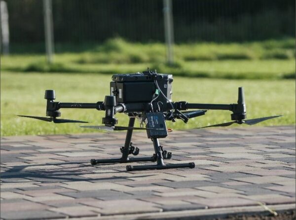
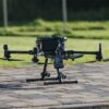
Working with UgCS, SkyHub enables True Terrain Following (TTF) so the drone holds a constant, low height above uneven ground — essential for magnetometer and GPR surveys that must be flown as low as possible. It ships with mountings and cables for the DJI M300/M350 RTK, with kits for other drones available on request.
Service & Warranty
Supplied by GulfNet Emirates Drone & Robotic Systems with UAE-based technical support, integration guidance and full manufacturer warranty. SkyHub is sold as part of a complete sensor/kit solution rather than on its own — request a quote and our team will configure SkyHub with the sensors and software you need.
Key Specifications
| Type | Onboard computer for UAV-mounted geophysical sensors |
| Function | Logs geotagged data from connected sensors and synchronises them with the flight |
| Supported sensors | GPR, magnetometer, echo sounder, methane detector, altimeter and other SPH Integrated Systems |
| Software | Works with UgCS mission planning, including True Terrain Following (TTF) |
| Georeferencing | RTK georeferencing supported |
| Mounts & cables | Ships with mountings and cables for DJI M300 / M350 RTK (others on request) |
| Packaging | 21 × 29 × 11 cm, 1.0 kg |
| Note | Sold as part of a sensor/kit solution — not a standalone product |
| SKU | IS-SKYHUB3 |
Frequently Asked Questions
Where can I buy the SkyHub Onboard Computer in Dubai?
The SkyHub Onboard Computer is supplied in Dubai by GulfNet Emirates Drone & Robotic Solutions, working with SPH Engineering as the manufacturer. Because SkyHub is the central hub of every SPH Integrated System, it is not sold as a bare box. Buyers in Dubai order it as part of a configured sensor kit, whether that involves ground penetrating radar, a magnetometer, an echo sounder, a methane detector or an altimeter. Ordering through an authorised SkyHub dealer Dubai buyers can rely on ensures the unit ships with the correct mounts, cables and UgCS licensing for the chosen airframe. Contact the GulfNet Emirates team from the product listing and they will confirm stock, timelines and the exact bundle needed for your survey workflow.
How much is the SkyHub Onboard Computer and what does the price in the UAE depend on?
There is no fixed sticker price for the unit because SkyHub Onboard Computer price in UAE quotes are always built around the sensor kit, drone platform and software package it ships with. A magnetometer configuration will not carry the same skyhub onboard computer price as a GPR or bathymetric echo sounder build, since the cables, mounts, UgCS modules and calibration effort differ. GulfNet Emirates provides itemised SkyHub Onboard Computer price UAE quotations in AED that separate the hardware, integration and support so procurement teams can compare cleanly. To get an accurate figure, share the target drone (typically DJI M300 or M350 RTK) and the sensor you plan to fly.
Who sells the SkyHub Onboard Computer in the UAE?
In the UAE, SkyHub is sold through GulfNet Emirates as the drone and robotics channel partner for SPH Engineering. Operating as a SkyHub dealer UAE customers can order from directly, GulfNet handles configuration, documentation and post-sale technical guidance from its Dubai office. As a SkyHub distributor UAE surveyors, mining contractors and utilities work with, the company aligns each order with the correct SPH Integrated System, whether that is Radar Systems for GPR, Magnetometer Systems or Echo Sounder Systems. Buyers can request a quote online, submit a purchase order after specification sign-off, and receive UAE-based support during integration and first flights.
Is the SkyHub Onboard Computer available in the UAE and can I buy it online?
Yes. To buy skyhub onboard computer in UAE, customers use the request-a-quote flow on the GulfNet Emirates DRS storefront rather than a standard add-to-cart checkout. This is deliberate: SkyHub is only useful with matched sensors, cables, mounts and UgCS software, so pricing has to be confirmed against the intended kit. The option to buy SkyHub Onboard Computer online in UAE is therefore quote-led. Once specifications are agreed, invoicing, payment in AED and delivery across the Emirates are all handled locally by GulfNet Emirates, with technical support available for onboarding and first field deployment.
How do I get a quote for the SkyHub Onboard Computer?
To get a quote for SkyHub Onboard Computer bundles, use the Request a Quote button on the GulfNet Emirates product listing, or reach the Dubai office directly by phone or email. Include the drone model you intend to fly (DJI M300 RTK, M350 RTK or another platform), the sensor type you need integrated, and whether you already hold a UgCS licence. GulfNet Emirates will return a written quotation in AED covering the SkyHub unit, mounts, cables, sensor, software and any commissioning support required. Turnaround is typically fast for standard M300 and M350 configurations, with lead times confirmed at the point of quotation.
Where is the best place to buy the SkyHub Onboard Computer in the UAE?
The best place to buy SkyHub Onboard Computer in the UAE is a channel with direct SPH Engineering ties, sensor integration experience and local aftersales capability. GulfNet Emirates fits that profile, and is a trusted seller of SkyHub Onboard Computer in the UAE for geophysical surveyors, oil and gas contractors, and utilities running unexploded ordnance, pipeline or bathymetric work. Beyond just shipping hardware, the team scopes the kit, configures UgCS, verifies True Terrain Following behaviour on the intended airframe, and stays available once operations begin. That combination of specification, integration and support is what separates a spec seller from a reliable enterprise supplier.
Is there a SkyHub Onboard Computer supplier in Abu Dhabi?
Yes. Although GulfNet Emirates is headquartered at Al Fattan Plaza in Dubai, it serves Abu Dhabi customers as a SkyHub Onboard Computer supplier in Abu Dhabi projects can procure through, covering government surveys, energy sector inspections and environmental monitoring. Working as a SkyHub Onboard Computer dealer in UAE with reach across all seven emirates, the team can deliver, install and commission the SkyHub-based kit on site in Abu Dhabi, coordinate around ADCD or airspace approvals where required, and follow up with training on UgCS mission planning. Documentation, invoicing and warranty registration are managed centrally so remote project teams are not left chasing paperwork.
Can I book a SkyHub Onboard Computer demo in Dubai?
Prospective buyers can book a SkyHub Onboard Computer demo in Dubai through GulfNet Emirates once the intended sensor and drone platform are known. Because SkyHub only demonstrates value when paired with an SPH Integrated System, demos are arranged around a specific configuration, most often a DJI M300 or M350 RTK carrying a magnetometer or GPR payload. Sessions typically walk through mounting, cabling, UgCS mission setup, True Terrain Following behaviour over uneven ground, and how the geotagged data is exported for processing in GeoHammer Pro or DroneGIS. Reach out via the quote form and specify a demo request so scheduling and payload availability can be confirmed.
Can the SkyHub Onboard Computer be purchased as a standalone unit?
No. Even when listed as skyhub onboard computer for sale, the SkyHub is only meaningful when it is combined with sensors, mounting kits and UgCS software from SPH Engineering. That is why it is offered as SkyHub Onboard Computer for sale in Dubai only as part of a full solution, not as a boxed accessory. The unit itself is the data logger that geotags GPR, magnetometer, echo sounder, methane detector or altimeter readings against RTK position, so ordering it alone would leave a buyer without the components that make it work. GulfNet Emirates configures the complete package to match the target survey workflow.
Which drones and sensors is the SkyHub Onboard Computer compatible with?
Out of the box, the SkyHub Onboard Computer ships with mountings and cables for the DJI M300 RTK and M350 RTK, with kits for other drones available on request. On the sensor side, it is the common hub for the SPH Engineering range: ground penetrating radar, magnetometers, echo sounders, methane detectors, altimeters and other SPH Integrated Systems. Each sensor connects to SkyHub, which logs the reading against the drone’s RTK position for georeferenced output. Data flows into GeoHammer Pro, DroneGIS or standard third-party geophysical software for post-processing, so operators can slot SkyHub into an existing analysis pipeline without changing tools.
What is True Terrain Following and why does it matter for surveys using SkyHub?
True Terrain Following, or TTF, is a UgCS capability enabled by SkyHub that keeps the drone at a constant low height above uneven ground rather than a fixed altitude above sea level. For magnetometer and GPR surveys this is critical, because signal quality falls off sharply with distance from the surface. Holding a steady low offset over slopes, dunes or wadis produces cleaner, more usable data and cuts the need for reflights. SkyHub reads the terrain reference in flight and adjusts the mission profile in real time. Combined with RTK positioning, the result is tightly geotagged data ready for processing in GeoHammer Pro or DroneGIS.
What software, warranty and technical support come with the SkyHub Onboard Computer?
SkyHub works with UgCS for mission planning, including True Terrain Following, alongside the relevant sensor firmware and processing tools such as GeoHammer Pro and DroneGIS. Every SkyHub Onboard Computer supplied by GulfNet Emirates carries the full SPH Engineering manufacturer warranty, with UAE-based technical support for integration questions, firmware updates and field troubleshooting. The delivered package includes the SkyHub unit, mounting hardware and cables sized to the ordered drone, and configuration guidance so first missions can be flown without prolonged trial and error. This support layer is a core reason enterprise buyers procure through a local channel rather than importing directly.