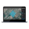
DJI Terra — Make the World Your Digital Asset
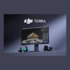
DJI Terra is professional 3D reconstruction software powered by next-generation technologies including 3D Gaussian Splatting, photogrammetry, and LiDAR processing. It supports accurate and efficient 2D and 3D reconstruction from visible light imagery, multispectral data, and DJI LiDAR sensors. When integrated with DJI Enterprise drones, Terra delivers a unified hardware and software solution for data acquisition, processing, and application — streamlining aerial surveying workflows for greater efficiency and accuracy.
View DJI Terra on DJI Enterprise →
Key Features
Photorealistic Gaussian Splatting
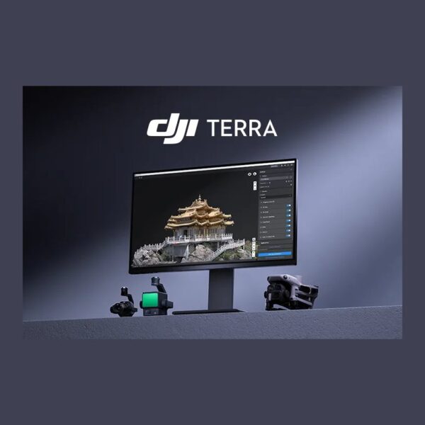
Terra’s 3D Gaussian Splatting quickly generates detailed, realistic 3D models from photos — cultural relics, architecture, urban blocks, scenic gardens — rendering fine structures, transparent and reflective objects and vegetation more faithfully than oblique photogrammetry, with natural results and distortion-free orthomosaics.
Fast and light: ~500 photos/hour, single-block modeling in 30–40 minutes, twice Terra Mesh’s speed on 10,000+ photo scenes — up to 30,000 photos per task and 300–400 photos per 1 GB RAM at city scale, on just a 4 GB NVIDIA GPU and 32 GB RAM, with one-click PLY / B3DM (3D Tiles) export.
Photogrammetry — Trusted Precision
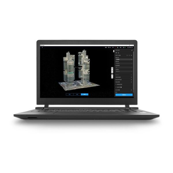
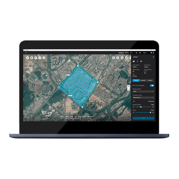
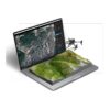
Terra rapidly generates high-precision 3D models, point clouds, true digital orthophoto maps (TDOM) and digital surface models (DSM), with adjustable mesh count and map resolution plus export to industry-standard formats.
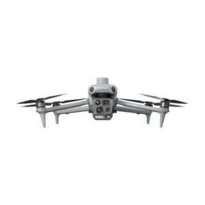
1:500 accuracy, on-site speed: DJI RTK drone data and dedicated Matrice 4E enhancements deliver centimeter-level mapping without ground control points, even in complex environments. A workstation processes 30,000 photos in three days (21 hours clustered); 2D runs of 5,000 photos finish in under two hours — 80 minutes with cluster reconstruction.
LiDAR Reconstruction — Broad Applications
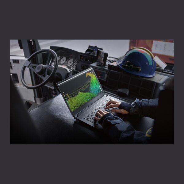
Terra deeply fuses LiDAR and visible light data — a single Zenmuse LiDAR flight yields high-precision point clouds, 2D maps and 3D mesh models at once, sharply improving completeness on complex structures like bridges and substations, with survey-grade centimeter accuracy via RTK/PPK and no ground control points.
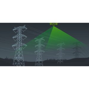
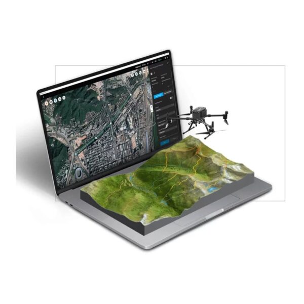
Inspection & scale: Waypoints and flight routes generate automatically from points picked in a 3D model or point cloud — now supporting Matrice 4T and 4TD — while 32 GB of RAM handles up to 120 GB of LiDAR data (~10 km²) and 128 GB workstations reach city scale.
Multispectral Reconstruction for Agriculture
Generate NDVI and NDRE vegetation index maps from DJI Mavic 3 Multispectral and Phantom 4 Multispectral data, with radiometric correction and reflectance maps for remote-sensing research.
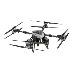
Prescription maps: Pick your crop type (Field or Fruit Tree) to instantly produce 2D maps, optimized DJI Agras routes and variable-rate spraying maps that improve yields while cutting costs.
Cluster Reconstruction — Superior Efficiency
Designed for ultra-large-scale mapping such as smart cities, cluster reconstruction overcomes single-machine limits through multi-GPU, multi-node collaboration — processing 6,000 photos per 1 GB of available RAM.
Lightning fast: Just five worker devices rebuild 30,000 photos in high resolution in only 21 hours, and workers scale flexibly as projects grow.
Integrated Aerial Survey — Hardware & Software Synergy
Terra is deeply compatible with DJI Enterprise hardware — Matrice 4E, Matrice 400, Zenmuse P1, Zenmuse L3 and D-RTK 3 — for cost-effective visible-light and professional LiDAR mapping.
Complete workflow: One-click handoff to DJI Modify for model processing and post-editing, plus integrated DJI Reality — Mesh, 3DGS and point-cloud viewing at no extra licence cost — an end-to-end capture, process, edit and share pipeline.
More Highlights
PPK Calculation
Robust built-in PPK (Post-Processed Kinematic) ensures high-precision aerial survey results in any environment, with local PPK for both visible light imagery and LiDAR.
Works anywhere: Centimeter-level positioning accuracy holds even with limited network connectivity or where RTK is unavailable.
Annotation & Measurement
Intuitive annotation and measurement tools deliver accurate point, line, area and volume measurements, with multiple export formats for engineering, surveying and management needs.
Model-to-site view: Click any part of the 3D model to instantly see the corresponding camera position and original images — smooth switching that makes inspection and site verification efficient.
Control Points & Check Points
For visible light reconstruction, import and mark control and check points to precisely calibrate models and point clouds. Terra supports semi-automatic point picking with sub-pixel accuracy in automatic recognition, greatly improving GCP marking efficiency — while check points let you verify reconstruction accuracy at any stage, ensuring data reliability.
8,500+ Built-In Coordinate Systems
Terra supports local coordinate systems, seven-parameter transformations, and PRJ file imports, and intelligently recommends the optimal coordinate system based on your location — ensuring output data integrates seamlessly with local standards for precise, customizable exports.
Application Scenarios
Surveying & Mapping, Public Safety, Electricity & Power Line Inspection, Oil & Natural Gas, Roads & Bridges, Water Conservancy, Precision Agriculture, Forestry, Mining Survey, Emergency Survey & Disaster Response, Gaming, Film & Television.
License Plans
| Feature | Agriculture | Standard | Flagship | Education |
|---|---|---|---|---|
| Agricultural Application | ✓ | — | — | — |
| 2D Map Reconstruction (Field/Fruit Tree) | ✓ | — | — | — |
| 2D Map Reconstruction (Urban) | — | ✓ | ✓ | ✓ |
| 2D Multispectral Reconstruction | ✓ | — | — | — |
| 3D Mesh Reconstruction | — | ✓ | ✓ | ✓ |
| LiDAR Point Cloud Reconstruction | — | ✓ | ✓ | ✓ |
| Terrain Result | — | ✓ | ✓ | ✓ |
| Gaussian Splatting | — | ✓ | ✓ | ✓ |
| Electricity Application | — | — | ✓ | — |
| Cluster Computation | — | — | ✓ | — |
| Bind Device | 3 Devices | 1 Device | 1 Device | 10 Devices |
| Authorization Mode | Online | Online / Offline | Online / Offline | Online |
| Validity Period | 1 Year | 1 Year / Permanent | 1 Year / Permanent | Permanent |
How to buy: DJI Terra Standard, Flagship and Cluster versions are available through official DJI dealers — GulfNet Emirates is an official DJI Enterprise dealer in the UAE. Terra + DJI Modify Flagship bundles offer the best value for complete survey-to-edit workflows, and a free one-month trial (up to 500 photos, 8 GB of LiDAR data) is available on request — contact us to arrange an activation code.
System Requirements
| Component | Minimum Requirement |
|---|---|
| Operating System | Windows 10 or higher (64-bit) |
| RAM | 32 GB |
| GPU Memory | 4 GB (NVIDIA) |
| GPU | NVIDIA GeForce GTX 1050 Ti or better (compute capability 6.1+) |
| Authorization | Online or Offline (edition-dependent) |
Service & Support
GulfNet Emirates is an official DJI Enterprise dealer in the UAE. DJI Terra licenses purchased from us are genuine DJI activations delivered by email, with local assistance in English and Arabic for activation, device binding and edition selection — backed by DJI’s official software support channels.
Frequently Asked Questions
Where can I buy DJI Terra in Dubai?
You can buy DJI Terra from GulfNet Emirates, an official DJI Enterprise dealer based in Al Fattan Plaza, Dubai. As an authorised DJI dealer Dubai buyers rely on for genuine software activations, we supply the Agriculture, Standard, Flagship and Education editions, along with the Terra plus DJI Modify Flagship bundles for teams that need a full survey-to-edit pipeline. Activation codes are issued by email after purchase, with local assistance in English and Arabic for account binding and edition selection. Whether you are a surveying firm, an agricultural operator or a public safety agency, our Dubai team can match the correct licence tier to your fleet, drone models and processing hardware.
How much is DJI Terra and what drives the price in the UAE?
The dji terra price in our catalogue starts at AED 1,325 and reaches AED 61,350 for the full Flagship plus DJI Modify Flagship bundle. The DJI Terra price in UAE depends on the edition you choose: Agriculture is a one-year, three-device licence for spraying workflows, Standard and Flagship are permanent licences for one device, and the Flagship tier adds cluster computation plus electricity applications. Add-ons like DJI Modify Flagship push the total higher because they cover post-editing of meshes, point clouds and 3D Gaussian Splatting outputs. For an accurate figure tied to your fleet and hardware, request a written quotation.
Is DJI Terra available in the UAE through a local channel?
Yes. GulfNet Emirates stocks and activates every current DJI Terra edition for customers across the Emirates, and licences are marked in stock on our storefront. Because we are the DJI Terra dealer in UAE clients approach for enterprise projects, the software ships as a genuine DJI activation code rather than a third-party key, protecting future updates and DJI account binding. Coverage extends from Dubai and Abu Dhabi to Sharjah, Ras Al Khaimah and Fujairah, and quotations can be issued in AED with formal purchase order support for government and enterprise procurement teams.
Who sells DJI Terra in the UAE and how do I know the licence is genuine?
GulfNet Emirates is the trusted seller of DJI Terra in the UAE for enterprise buyers who need verifiable activation. As an accredited DJI dealer UAE customers can audit, we deliver every licence directly through DJI’s official channel, tied to the buyer’s DJI account. When someone asks who sells DJI Terra in the UAE with proper after-sales support, the answer should include activation assistance, edition guidance, invoicing in AED and access to DJI’s official software support. Grey-market keys, cracked builds or unbranded resellers cannot offer any of these guarantees, and they typically fail during account binding or later software updates.
Which DJI Terra edition should I choose for surveying versus agriculture?
Pick the edition based on the data you fly. Agriculture is built for DJI Agras workflows, generating 2D field and fruit tree maps, multispectral outputs and variable-rate spraying prescriptions on up to three devices for one year. Standard covers 2D urban maps, 3D mesh, LiDAR point clouds, terrain results and Gaussian Splatting on a single permanent device. Flagship adds cluster computation across multiple machines and the electricity application for power line inspection, which suits mapping bureaus and utility contractors. Education is a permanent ten-device licence for academic use. Our team can match your Matrice, Mavic 3M or Agras platform to the right tier before you commit.
Can I buy DJI Terra online in the UAE and receive it the same day?
Yes. You can buy DJI Terra online in UAE directly from the GulfNet Emirates storefront, add the edition to cart and complete checkout in AED. Because the licence is software, activation codes are dispatched by email once the order clears, which usually means same-day or next-business-day delivery for the standard editions. Large bundles, cluster licences and dji terra for sale under formal enterprise procurement may take slightly longer while the purchase order and tax invoice are processed. After the code arrives, bind it to your DJI account and activate it inside the DJI Terra desktop application on Windows.
How do I get a quote for DJI Terra with cluster or Modify add-ons?
Send your requirements through the Request a Quote form or contact the Dubai office directly, and we will return a written price with edition, quantity, validity and any bundle discount clearly listed. To get a quote for DJI Terra that reflects your project accurately, share the drone platforms you fly, whether you need cluster computation across multiple workstations, and if DJI Modify Flagship should be bundled for mesh and 3DGS editing. The DJI Terra price UAE quotation is issued in AED, includes VAT where applicable, and can be aligned to your procurement cycle with formal invoicing for government and large private tenders.
Is there a DJI Terra supplier in Abu Dhabi for government and enterprise buyers?
GulfNet Emirates services Abu Dhabi from its Dubai head office and delivers licences electronically across the emirate, which makes it a practical DJI Terra supplier in Abu Dhabi for ADNOC contractors, municipal surveying teams, defence integrators and academic institutions. As a DJI distributor UAE clients use for enterprise photogrammetry projects, we handle framework agreements, multi-seat activations and offline authorisation for air-gapped sites, an option available on Standard and Flagship editions. Documentation, invoices and support communication can be arranged in English or Arabic, and on-site coordination for training or activation is available for high-value Abu Dhabi contracts.
What is the best place to buy DJI Terra in the UAE if I need long-term support?
The best place to buy DJI Terra in the UAE is a channel that combines a genuine activation code with local guidance on edition, hardware and workflow. GulfNet Emirates fits that brief because Terra is sold alongside the DJI hardware it depends on, including Matrice 4E, Matrice 400, Zenmuse P1, Zenmuse L3 and D-RTK 3. That means the same team advising on your licence understands the drone, payload and RTK setup that feeds it, which shortens onboarding. A free one-month trial covering up to 500 photos and 8 GB of LiDAR data is also available on request before you commit.
Can I book a DJI Terra demo in Dubai before purchasing?
Yes. You can book a DJI Terra demo in Dubai through GulfNet Emirates, either at our Al Fattan Plaza office or as a remote walkthrough for teams based outside the city. A demo typically covers photogrammetry from Matrice 4E imagery, LiDAR reconstruction from Zenmuse sensors, Gaussian Splatting on a small city block, and the multispectral workflow for DJI Agras route optimisation. We can also arrange a free one-month trial activation code, letting you test up to 500 photos per reconstruction and 8 GB of LiDAR data on your own workstation before deciding on the Agriculture, Standard or Flagship edition.
Is DJI Terra for sale in Dubai with bundle pricing on Modify and Reality?
DJI Terra for sale in Dubai is offered as standalone licences and as bundled packages that add DJI Modify Flagship for post-editing meshes, point clouds and 3D Gaussian Splatting outputs. DJI Reality, which handles model visualisation across Mesh, 3DGS and point cloud formats, is included with Terra at no extra licensing cost, so it does not need to be quoted separately. The Standard plus Modify Flagship and Flagship plus Modify Flagship bundles are usually the best value for teams that reconstruct and refine data in the same week. Ask us for the current AED pricing on each combination when you request a quotation.
What system requirements should I meet before I buy DJI Terra?
Before you buy DJI Terra, confirm your workstation runs 64-bit Windows 10 or higher, holds at least 32 GB of RAM and pairs with an NVIDIA graphics card that has 4 GB of VRAM and compute capability 6.1 or above, such as the GeForce GTX 1050 Ti. City-scale Gaussian Splatting and heavy LiDAR jobs benefit from 128 GB of system memory, which lets Terra handle up to roughly 10 km squared of LiDAR data in a single project. Cluster reconstruction adds worker nodes for very large photogrammetry sets, and offline authorisation is supported on Standard and Flagship licences for secure environments.