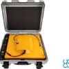
Radar Systems Zond Aero 500 NG Ground Penetrating Radar (GPR) System
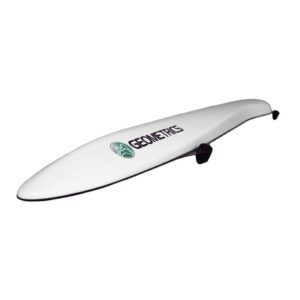
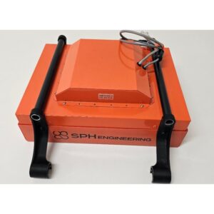
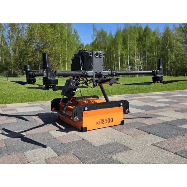
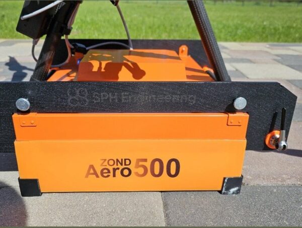
The Zond Aero 500 NG is a universal 500 MHz ground penetrating radar for both terrestrial and airborne surveys. Real-Time Sampling (RTS) technology with built-in digital signal processing delivers an exceptional signal-to-noise ratio, while geotagged SEGY output integrates cleanly into geophysical workflows. One of the lightest GPR systems on the market, it can be flown on medium drones, pushed on a cart or towed — whichever suits the survey.
Ground Penetrating Radar — Radar Systems Zond Aero 500

One system, three survey modes
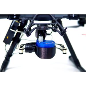
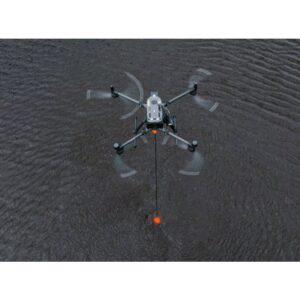
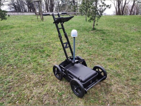
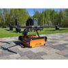
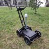
Fly the Zond Aero 500 NG on a DJI M350/M300 RTK for large open areas, mount it on a wheeled cart for streets and confined spaces, or tow it on a rope where the ground will not bear a cart. The same sensor adapts to the site instead of forcing you to own three instruments.

RTS data quality, up to 4 m deep
The 500 MHz shielded antenna with Real-Time Sampling reaches up to 4 m in average soil and resolves utilities, voids and stratigraphy with a clean signal-to-noise ratio. Data is logged as geotagged SEGY (.sgy) for direct use in Prism 2 and standard geophysical software, with an IP68 cased build for rugged field work.
Applications
Utility search and underground infrastructure mapping, archaeology, geotechnical surveys, geological stratigraphy, and glaciology / snow and ice thickness profiling.
Service & Warranty
Supplied by GulfNet Emirates Drone & Robotic Systems with UAE-based technical support, integration guidance and full manufacturer warranty. The Zond Aero 500 NG requires additional components and software for drone operation — request a quote and our team will propose the complete, ready-to-fly GPR set.
Key Specifications
| Type | Single-channel GPR with shielded antenna |
| Central frequency | 500 MHz |
| Operating bandwidth | 200–900 MHz (-12 dB) |
| Sampling | Real-Time Sampling (RTS) with high hardware stacking |
| Samples per scan | 256 / 512 / 1024 / 2048 / 4096 / 8192 (selectable) |
| Sample rate | Up to 1,280,000 samples/second |
| Scan rate | Up to 2,500 scans/second |
| Penetration depth | Up to 4 m in average soil (≈2 m at 0.6 m antenna elevation) |
| Data format | Standard SEGY (.sgy) with trace geotagging |
| Operating temperature | -20°C to 60°C |
| Ingress protection | IP68 in protective case; IP52 airborne |
| Supported drones | DJI M350 / M300 RTK (not compatible with DJI M400) |
| Weight | 2.1 kg airborne; 7.1 kg in protective case |
| Size (airborne) | 41 × 31 × 16 cm |
| Certification | FCC 2AUQQ-AERO500NG · IC 25515-AERO500NG |
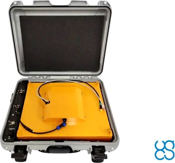
| In the kit | Zond Aero 500 NG GPR (500 MHz), Prism 2 acquisition/processing software, protective case with integrated 99 Wh Li-Ion battery and Wi-Fi router, charger, tow rope, DJI M300/M350 mounting kit |
| SKU | IS-RS-ZOND-AERO-500 |
Frequently Asked Questions
Which drones is the Zond Aero 500 NG compatible with?
It is designed for medium-sized drones such as the DJI M350 and M300 RTK. It is not compatible with the DJI M400 — for M400 operation choose the Zond Aero 600. Mounts for other drone types can be provided on request.
How deep can it see?
Up to about 4 m in average normal soil, or around 2 m when flown at a 0.6 m antenna elevation. Actual penetration depends on soil conductivity and moisture.
Can I use it on the ground as well as on a drone?
Yes. The same system mounts on a cart for street and confined-space surveys, can be towed on a rope, or flown on a drone for large open areas. The protective case integrates a battery and Wi-Fi router for ground use.
What data format does it output?
Standard geophysical SEGY (.sgy) with per-trace geotagging, processed in the included Prism 2 software and compatible with common GPR processing packages.
Is additional equipment needed for drone surveys?
Yes — the SkyHub onboard computer, UgCS flight planning and a drone mounting kit are required. When you request a quote, we propose the complete ready-to-fly set for your aircraft.