


PIX4Dmapper Photogrammetry Software
PIX4Dmapper is the professional photogrammetry standard for drone mapping and 3D reconstruction. It transforms RGB, thermal and multispectral imagery into precise point clouds, orthomosaics, DSMs and textured 3D models, with full control over every step of the processing pipeline.
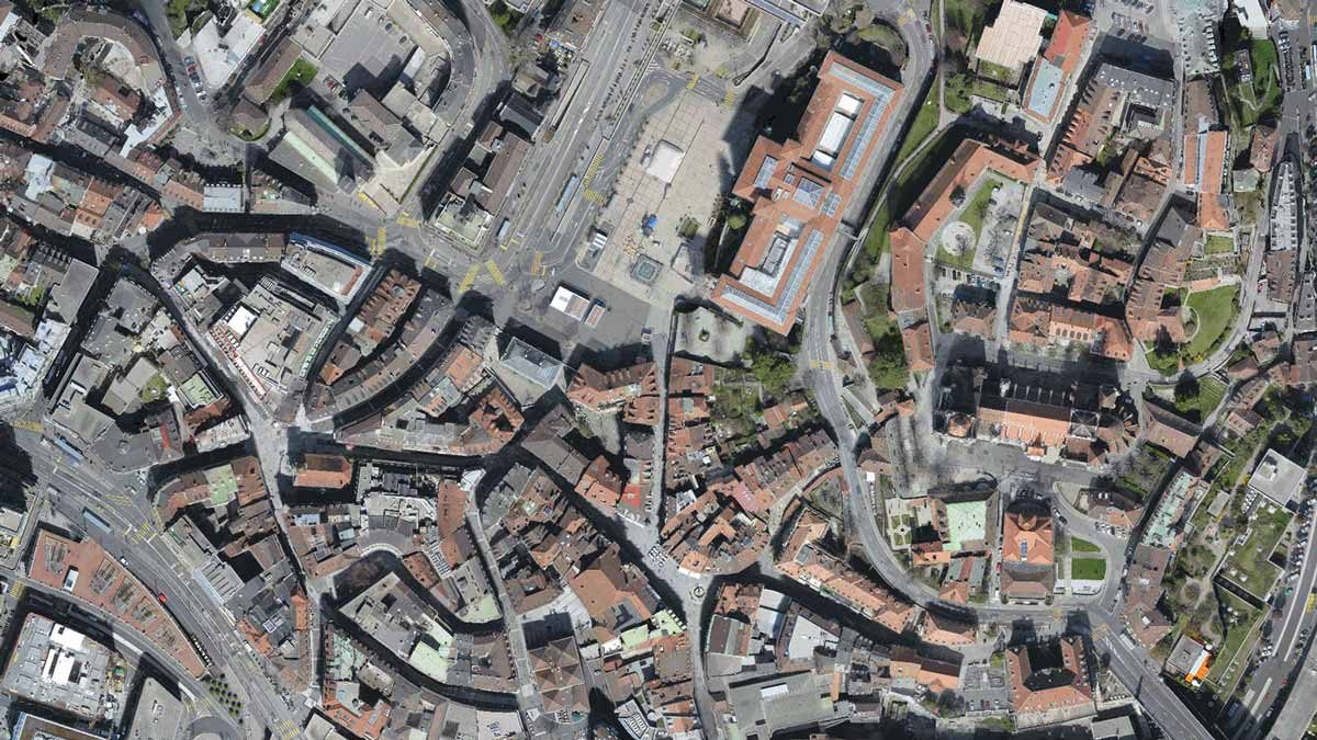
Accurate orthomosaic maps
Transform drone imagery into geometrically corrected, georeferenced orthomosaic maps with sub-centimetre accuracy. Export to GeoTIFF or KML for use in GIS platforms.
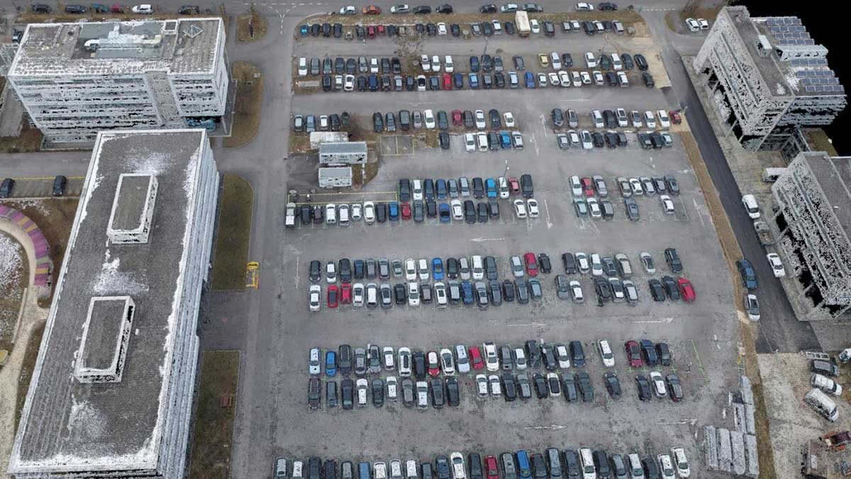
Full-color point clouds
Generate dense, full-color 3D point clouds from aerial or ground-based images. Export to .las, .laz, .ply, or .xyz for analysis in leading surveying tools.
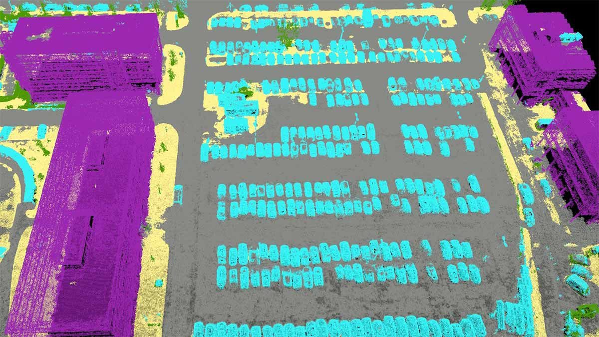
Automatic point cloud classification
Distinguish ground, vegetation, buildings, and other objects automatically using machine learning classification. Ideal for creating bare-earth terrain models.
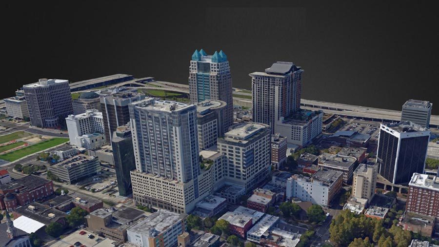
3D textured mesh models
Create photorealistic 3D textured mesh models from images alone. Export in .ply, .fbx, .dxf, .obj, or .pdf for integration with CAD and BIM workflows.
Digital surface models (DSM)
Generate digital representations of all objects in the mapped area — terrain, vegetation, and elevated structures — exported as GeoTIFF for engineering analysis.
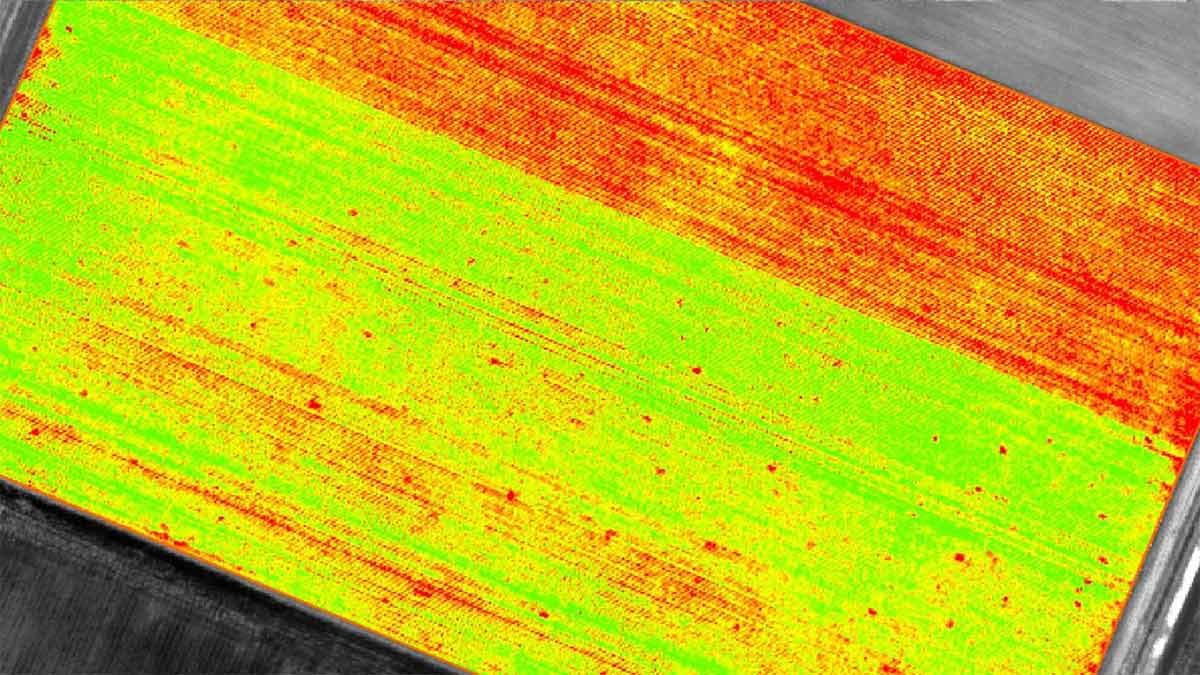
Vegetation & index maps
Process multispectral imagery to generate NDVI, NDRE, and custom index maps for precision agriculture and environmental monitoring. Export as GeoTIFF or Shapefile.
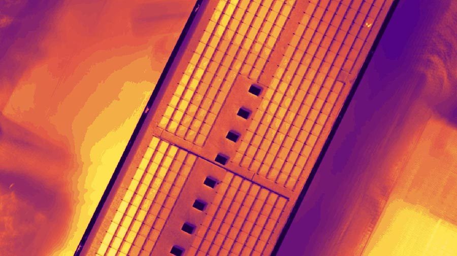
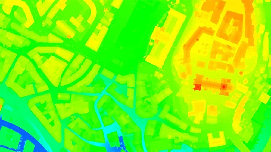
Thermal mapping
Process thermal imagery from infrared-capable cameras into calibrated thermal maps for infrastructure inspection, energy audits, and industrial surveys.
rayCloud™ — Full project control
PIX4Dmapper’s unique rayCloud environment connects every image to each point in the 3D reconstruction. Visually verify and improve accuracy, edit point clouds, add GCPs, and control quality at every step.
Comprehensive quality report
Every project generates a detailed quality report covering calibration, reconstruction quality, GSD, and accuracy statistics — giving you full confidence before delivering results to clients.
Service & Warranty
Every PIX4D licence supplied by GulfNet Emirates includes official Pix4D activation, access to the latest software updates within your licence term, and onboarding support from our certified team in the UAE. We provide local technical assistance, training, and renewal management so your mapping workflows stay productive. Contact us for volume licensing, education pricing, and tailored support packages.
Key Specifications
| Software Type | Desktop photogrammetry software |
|---|---|
| Platforms | Windows, macOS |
| Input Image Types | RGB, Thermal, Multispectral, Fisheye, 360°, Video, Camera Rig |
| Key Outputs | Orthomosaic (GeoTIFF), Point Cloud (.las/.laz/.ply/.xyz), DSM (GeoTIFF), 3D Mesh (.ply/.obj/.fbx), Index Maps (GeoTIFF), Thermal Maps |
| Processing Mode | Desktop (offline), optional PIX4Dcloud integration |
| Accuracy | 1–2 pixels GSD in X/Y; 1–3 pixels GSD in Z |
| GCP Support | Yes |
| License Type | Annual subscription |
| Language Support | English, German, Spanish, French, Japanese, Portuguese, Italian, Chinese |
| Certifications | ISO 27001, SOC 2 Type II |
Frequently Asked Questions
What types of drones and cameras does PIX4Dmapper support?
PIX4Dmapper accepts images from virtually any camera or drone — RGB, thermal, multispectral, fisheye, 360°, and camera rigs. If your camera captures .jpg or .tif images, it is compatible.
Can PIX4Dmapper process images offline?
Yes. PIX4Dmapper is a fully desktop-based application and requires no internet connection for processing. Projects can optionally be synced to PIX4Dcloud for sharing and collaboration.
What accuracy can I expect from PIX4Dmapper?
With proper flight planning and ground control points (GCPs), PIX4Dmapper delivers sub-centimetre accuracy — typically 1–2 pixels GSD in X/Y and 1–3 pixels GSD in Z.
Is PIX4Dmapper suitable for large-scale mapping projects?
PIX4Dmapper excels at small to medium-scale projects with full manual control. For very large datasets (thousands of images), PIX4Dmatic is the recommended solution for faster processing.


