


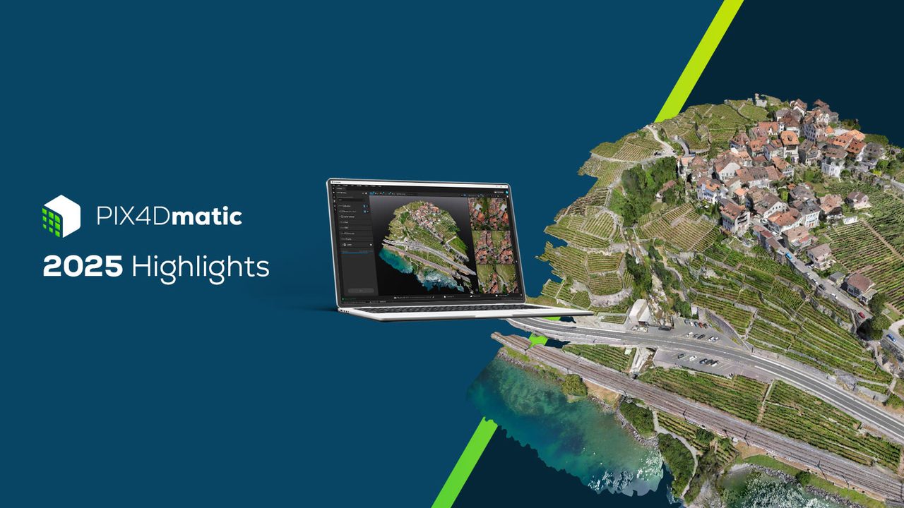
PIX4Dmatic Large-Scale Photogrammetry Software
PIX4Dmatic is built for professional survey and mapping teams who need to process very large image sets without compromising accuracy. Its modern engine handles corridor and large-scale projects on a single workstation, turning thousands of nadir and oblique images into survey-grade point clouds, DSMs, orthomosaics and CAD-ready vectors.
Pix4D – Introducing Pix4Dmatic
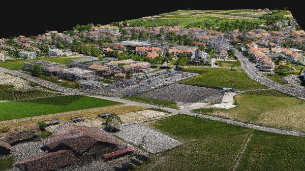
Dense & depth point clouds
Generate dense or depth point clouds — or fuse both — for the best possible 3D reconstruction. Full control over density and resolution for every project type. Export as .laz, .las, or .xyz.
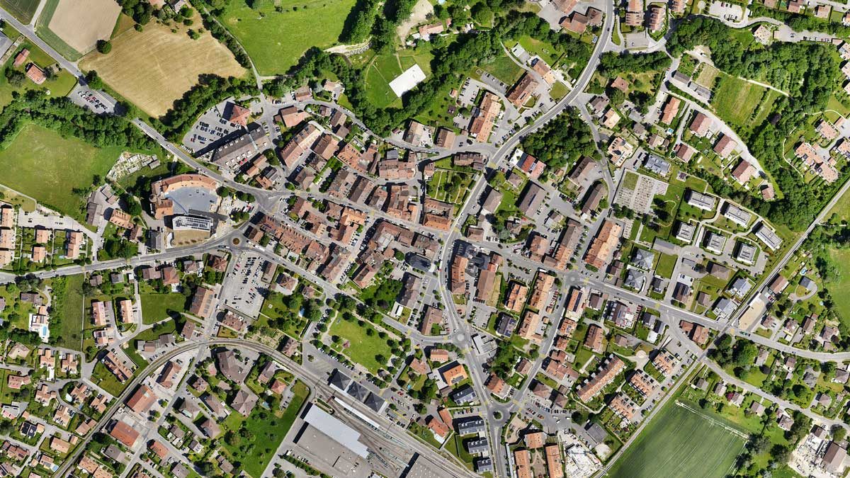
Colour-balanced orthomosaics
Create geometrically corrected orthomosaics with uniform scale and automatic colour balancing. Export as GeoTIFF for direct use in GIS platforms without rework.
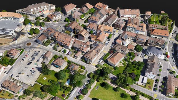
3D textured mesh
Generate photorealistic 3D textured meshes from aerial or terrestrial capture. Define texture size and decimation criteria, then export as .obj, .slpk, or Cesium 3D Tiles for web visualisation.
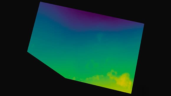
Digital terrain model (DTM)
Filter non-terrain points to produce bare-earth surface models suitable for engineering analysis and survey workflows. Export as GeoTIFF for downstream processing.
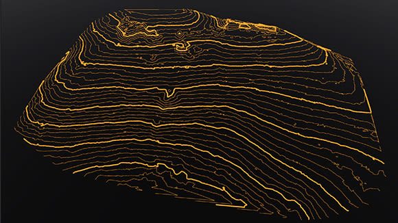
Contour lines
Generate contour lines at defined intervals directly from terrain models for standard mapping and survey deliverables. Export as .dxf or .shp for CAD and GIS use.
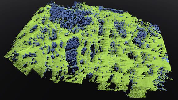
Terrain classification
Classify point cloud data into ground and non-ground classes to support accurate terrain modelling. Combine with LiDAR data for enhanced accuracy on complex sites.

Gaussian splatting (3DGS)
Generate photorealistic 3D Gaussian Splats for immersive visualisation. Enhance scene detail automatically or combine with existing point cloud data for the most accurate representation possible. Export as .ply.
Integrated survey workflow
PIX4Dmatic 2025 brings a new orthomosaic editor, combined LiDAR + drone processing, LandXML volume calculations, and advanced vector drafting — all in one desktop workspace without switching tools.
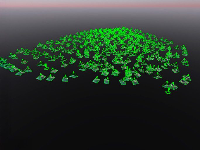
Calibration & georeferencing
Align imagery and point clouds using camera calibration, GCPs, and coordinate systems. Supports multi-camera rigs and LiDAR fusion for survey-grade accuracy on the largest projects.
Service & Warranty
Every PIX4D licence supplied by GulfNet Emirates includes official Pix4D activation, access to the latest software updates within your licence term, and onboarding support from our certified team in the UAE. We provide local technical assistance, training, and renewal management so your mapping workflows stay productive. Contact us for volume licensing, education pricing, and tailored support packages.
Key Specifications
| Software Type | Large-scale desktop photogrammetry software |
|---|---|
| Platform | Windows |
| Input | Aerial and terrestrial imagery (.jpg, .tif), LiDAR point clouds |
| Point Cloud Output | .laz, .las, .xyz |
| Orthomosaic Output | GeoTIFF, .jpg (georeferenced) |
| Mesh Output | .obj, .slpk, Cesium 3D Tiles, .fbx |
| Terrain Model Output | DTM (GeoTIFF), Contour Lines (.dxf/.shp), TIN (LandXML) |
| Vector Output | .dxf, Shapefile |
| Processing Mode | Local desktop (offline) |
| LiDAR Integration | Yes (point cloud fusion) |
| License Type | Annual subscription |
Frequently Asked Questions
How does PIX4Dmatic differ from PIX4Dmapper?
PIX4Dmatic is designed for large datasets and integrates an end-to-end survey workflow — from point cloud processing through terrain modelling, feature extraction, vectorisation, and CAD/GIS-ready export — all in one workspace. PIX4Dmapper excels at full-control classic mapping projects with a wider range of output types.
Can PIX4Dmatic process LiDAR data alongside drone imagery?
Yes. PIX4Dmatic supports the fusion of LiDAR point clouds with drone imagery for enhanced accuracy and richer datasets, particularly useful on complex terrain or infrastructure projects.
What is the maximum dataset size PIX4Dmatic can handle?
PIX4Dmatic is purpose-built for large-scale projects. It processes datasets of thousands of images efficiently on a local desktop machine, with performance dependent on hardware specifications.
Is an internet connection required for processing?
No. PIX4Dmatic processes everything locally on your desktop without requiring an internet connection. Projects can be shared via PIX4Dcloud after processing.


