
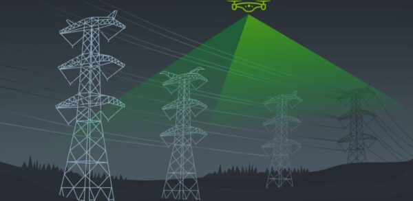



DroneGIS — Online GIS for Sharing Drone Survey Data
DroneGIS is an online GIS platform for surveyors, geophysicists and environmental engineers that brings every layer of a drone survey into a single shareable map. Point clouds, 3D models, sensor data, designs, RGB, thermal and elevation maps, heatmaps and annotations all live together — and a single web link lets you share the result with clients and partners in any browser, on desktop or mobile.

Every data type, one map
DroneGIS integrates a wide array of formats from whatever software produced them: GeoTIFF (RGB, thermal, elevation), Geosoft Grids, LAS/LAZ point clouds, SkyHub CSV, DXF and GeoJSON designs, B3DM/FBX/OBJ 3D models and JPG/PNG images. Export from your processing tools, upload to the cloud, then combine and configure the views you need.

Share with clients in a click
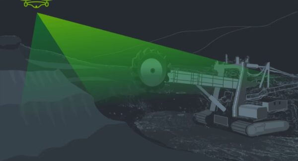
Publish a shareable web link for any browser, make it public or restrict it to registered users, embed the interactive map as an HTML snippet on your website, or generate a .DOCX report with a map snapshot and annotations. Teams use DroneGIS to document construction progress, monitor mining sites, map landfill methane emissions and report renewable-energy inspections.
How It Works
Export your processed data (photogrammetry, LiDAR, hydrology/geophysics, GIS/CAD/BIM/design formats), upload it to the DroneGIS cloud, combine the layers and configure their views, then share via a web link, HTML embed or .DOCX report.
Service & Licensing
Supplied by GulfNet Emirates Drone & Robotic Systems with UAE-based support and guidance. DroneGIS is a cloud subscription with a free trial — request a quote and our team will set up the right plan for your organisation and projects.
Key Specifications
| Software type | Online (cloud) GIS for sharing and viewing drone survey data |
| Built for | Surveyors, geophysicists and environmental engineers |
| Combines on one map | Point clouds, 3D models, sensor data, designs, RGB / thermal / elevation maps, heatmaps and annotations |
| Supported imports | GeoTIFF (RGB/thermal/elevation), Geosoft Grids, point clouds (LAS/LAZ), SkyHub CSV, designs (DXF/GeoJSON), 3D models (B3DM/FBX/OBJ), images (JPG/PNG) |
| Sharing | Shareable web link (desktop & mobile), public or registered-user access, HTML embed, and .DOCX reports with map snapshots and annotations |
| Workflow | Export from your processing software → upload to the DroneGIS cloud → combine and configure views → share |
| Access | Browser-based; free trial available |
| SKU | SW-DRONEGIS |
Frequently Asked Questions
Where can I buy DroneGIS in Dubai?
GulfNet Emirates supplies DroneGIS from its Dubai office at Al Fattan Plaza and ships across the Emirates. As an authorised DroneGIS dealer Dubai teams can rely on, the company handles the full workflow from licensing and cloud account setup to onboarding your surveyors and geophysicists. Buyers in construction, mining, utilities and environmental engineering typically start with a scoping call, confirm the data formats they need to publish (GeoTIFF, LAS/LAZ, DXF, Geosoft Grids, and so on), then move to a paid subscription. If you want to buy DroneGIS software, request a quote through the DroneGIS product page or contact the Dubai office on +971-4-8972598 and the team will confirm plan sizing and next steps.
How much is DroneGIS in the UAE?
DroneGIS is sold as a cloud subscription rather than a one-off perpetual licence, so the DroneGIS software price depends on the number of users, project volume and the sharing features your team needs. The listed DroneGIS price in UAE is confirmed on quotation because the plan is configured around your projects rather than a fixed shelf price. To find out how much is DroneGIS for your specific use case, share your expected data volumes, layer types (point clouds, 3D models, thermal, elevation, sensor data) and number of client-facing shared maps. GulfNet Emirates will then return a written quote covering the subscription, onboarding and UAE-based support, usually within one working day.
Is DroneGIS available in the UAE through a local dealer?
Yes. DroneGIS is available in the UAE through GulfNet Emirates Drone & Robotic Systems, which acts as the local DroneGIS dealer UAE clients purchase, renew and get support through. Because DroneGIS is a browser-based cloud platform, deployment does not require any on-premise installation; your team simply gets user credentials and starts uploading processed survey data. The advantage of buying through a UAE DroneGIS dealer, rather than sourcing directly from overseas, is same-timezone assistance in English and Arabic, local invoicing in AED, and help mapping the tool to real projects such as mining site monitoring, landfill methane reporting and renewable-energy inspections.
Who sells DroneGIS in the UAE and is it the best place to buy it?
GulfNet Emirates is the DroneGIS distributor UAE surveyors, geophysicists and environmental engineers commonly work with, and for most GCC buyers it is the best place to buy DroneGIS in the UAE because pricing, onboarding and renewals are handled locally in AED. If you have been searching for who sells DroneGIS in the UAE, the answer is straightforward: request a quote from the GulfNet Emirates DRS store, receive a proposal tailored to your project mix, then start on the free trial before committing. As a trusted seller of DroneGIS in the UAE, the team also supports integrations with the photogrammetry, LiDAR and geophysics tools that feed data into the platform.
What exactly is the DroneGIS Data Processing & Sharing Software used for?
The DroneGIS Data Processing & Sharing Software is an online GIS built for surveyors, geophysicists and environmental engineers who need to combine multiple drone survey outputs into one shareable interactive map. It brings point clouds, 3D models, sensor data, designs, RGB, thermal and elevation maps, heatmaps and annotations together in a single browser view. Teams use it to document construction progress, monitor mining sites, map landfill methane emissions and report on renewable-energy inspections. It is important to note that DroneGIS itself does not process raw imagery or LiDAR; it takes already-processed outputs from your photogrammetry, LiDAR or geophysics software and turns them into a shareable deliverable.
Which data formats can I upload to DroneGIS?
DroneGIS accepts a wide range of geospatial formats so you can bring outputs from almost any processing pipeline. Supported imports include GeoTIFF for RGB, thermal and elevation rasters, Geosoft Grids for geophysics data, LAS and LAZ point clouds, SkyHub CSV for sensor logs, DXF and GeoJSON for designs and CAD overlays, B3DM, FBX and OBJ for 3D models, and JPG or PNG for imagery. That coverage is the reason teams running mixed hardware (DJI, senseFly, custom SkyHub payloads) settle on it as their sharing layer. Once uploaded to the cloud, layers can be combined, styled and configured before publishing to clients.
Can I buy DroneGIS online in UAE without visiting an office?
Yes. You can buy DroneGIS online in UAE by submitting a quote request through the GulfNet Emirates DRS store, at which point the sales team confirms pricing, sends the order paperwork and provisions your cloud access. Because DroneGIS is browser-based, there is no hardware shipment or physical installation involved; the entire delivery is digital. If you want to buy DroneGIS software in UAE for a distributed team, licences can be assigned to users across offices in Dubai, Abu Dhabi, Sharjah and beyond. Onboarding sessions are typically delivered remotely, and the DroneGIS software for sale via GulfNet Emirates is invoiced in AED for simple procurement.
Is DroneGIS for sale in Dubai for construction and mining teams?
Yes, DroneGIS for sale in Dubai is aimed squarely at construction progress documentation, mining site monitoring, utility inspection reporting and environmental studies. On construction sites, drone flights produce orthomosaics, elevation models and point clouds; DroneGIS combines these with design DXF overlays so project managers and clients can inspect progress in one link. For mining and exploration, Geosoft Grids and LAS point clouds sit alongside RGB and thermal layers on the same map. Environmental teams overlay methane heatmaps on landfill footprints for reporting. In each case, the deliverable to the client is a single web link, HTML embed or DOCX report rather than a bulky data package.
Do you have a DroneGIS supplier in Abu Dhabi for government and utility projects?
GulfNet Emirates serves the whole of the UAE from its Dubai office and works as a DroneGIS supplier in Abu Dhabi for utility inspection, infrastructure monitoring and municipal survey projects. For government-funded and utility-scale work, buyers typically need clear documentation of workflow, secure sharing controls (public link versus registered-user access) and export options such as DOCX reports with map snapshots and annotations for stakeholder reviews. All of these are native to DroneGIS. Procurement teams in Abu Dhabi can request a formal quote, trade licence, and technical documentation directly from GulfNet Emirates and route the subscription through standard vendor onboarding.
How do I book a DroneGIS demo in Dubai before purchasing?
To book a DroneGIS demo in Dubai, submit a quote request or contact GulfNet Emirates at the Dubai office on +971-4-8972598 and ask for a walkthrough tailored to your data. The team will usually run a live browser session showing how your GeoTIFFs, LAS point clouds, 3D models and sensor CSVs combine into one interactive map, plus how to publish results as a web link, HTML embed or DOCX report. A free trial is also available so your surveyors and GIS staff can test uploads on real project data before you commit to a subscription. This is the most reliable way to size the right plan and confirm workflow fit.
What is the DroneGIS Data Processing & Sharing Software price UAE buyers should budget for?
The DroneGIS Data Processing & Sharing Software price UAE buyers pay is set as a cloud subscription and confirmed on quotation. Rather than publishing a fixed shelf figure, GulfNet Emirates configures the plan around user count, expected upload volume and how many external shared maps you publish for clients. A short scoping conversation is usually enough to lock the number. If you want to get a quote for DroneGIS, share your team size, the processing tools you already run (for example Metashape, DJI Terra, Pix4D or geophysics packages), and the type of projects you expect to publish. A written proposal follows, valid across the UAE.
How does DroneGIS fit alongside my existing photogrammetry and LiDAR software?
DroneGIS is deliberately positioned as a downstream sharing and viewing layer, not a replacement for your processing stack. Raw imagery, LiDAR scans and geophysics data are still processed in your usual tools, such as Agisoft Metashape, DJI Terra, PIX4D or geophysics packages that output Geosoft Grids and SkyHub CSV. Once those outputs exist, you export them to supported formats (GeoTIFF, LAS/LAZ, DXF, GeoJSON, B3DM, FBX, OBJ), upload to the DroneGIS cloud, combine layers on one map, then share externally. That workflow is why many UAE teams keep their existing licences and add DroneGIS purely to solve the client-delivery problem.