


Pixxel Hyperspectral Imagery — A New Way of Seeing Earth
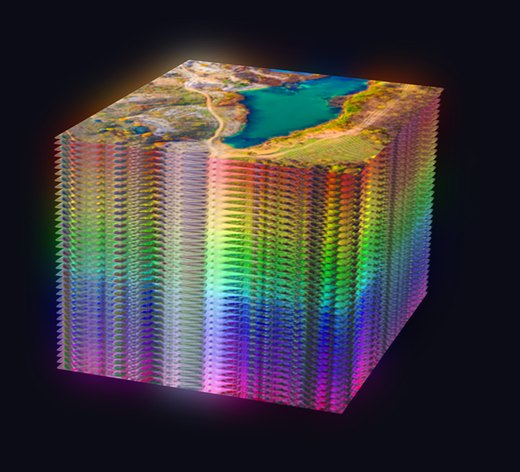
Pixxel’s hyperspectral satellites are redefining how we observe the planet, capturing the unique spectral fingerprint of materials, vegetation and surfaces across hundreds of narrow, contiguous bands. The result is unmatched precision to detect change early, monitor in extraordinary detail and drive future-ready decisions.
Pixxel’s Firefly Satellites | A New Way of Seeing Earth
A New Standard in Spectral Imaging
By measuring reflected light across hundreds of narrow, contiguous spectral bands, hyperspectral imaging identifies patterns and anomalies that traditional sensors miss — enabling reliable analysis in even the most dynamic environments.
Small Satellites, Big Vision
Pixxel is building the world’s most advanced hyperspectral constellation with proprietary in-house sensors — 5-metre spatial resolution, 250+ VNIR and SWIR bands, a 40 km swath and a 24-hour revisit, delivering timely, targeted insights from space.
Hyperspectral vs Multispectral vs RGB
 Hyperspectral Imaging Hyperspectral Imaging | 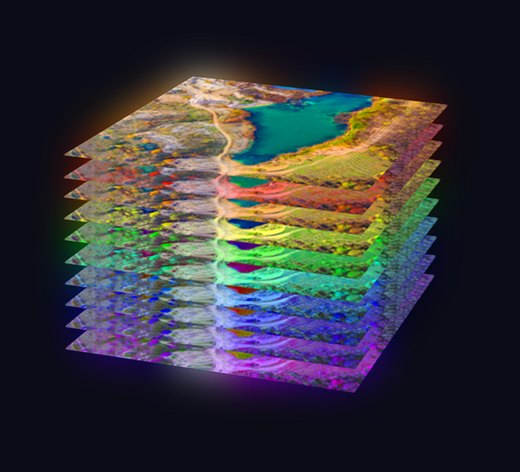 Multispectral Imaging Multispectral Imaging | 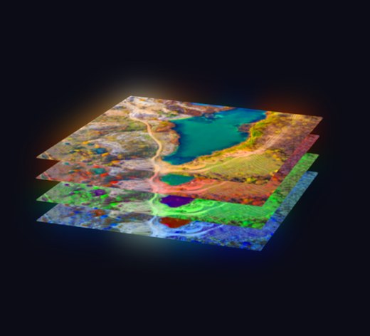 RGB Imaging RGB Imaging | |
|---|---|---|---|
| Bands | 37–100+ | 4–12 | 3 |
| Spectral range | Visible to Short-Wave Infrared | Visible & Near-Infrared | Visible |
| Output | Detailed spectral signatures | Composite images with selected bands | Natural-colour images |
| Applications | Advanced, high-precision use cases | Targeted spectral analysis | Basic visual interpretation |
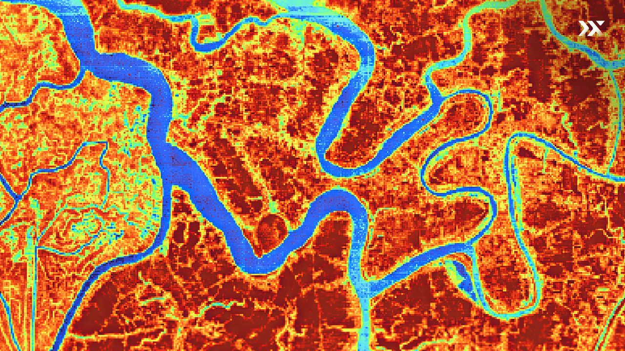
Browse the Latest Hyperspectral Imagery
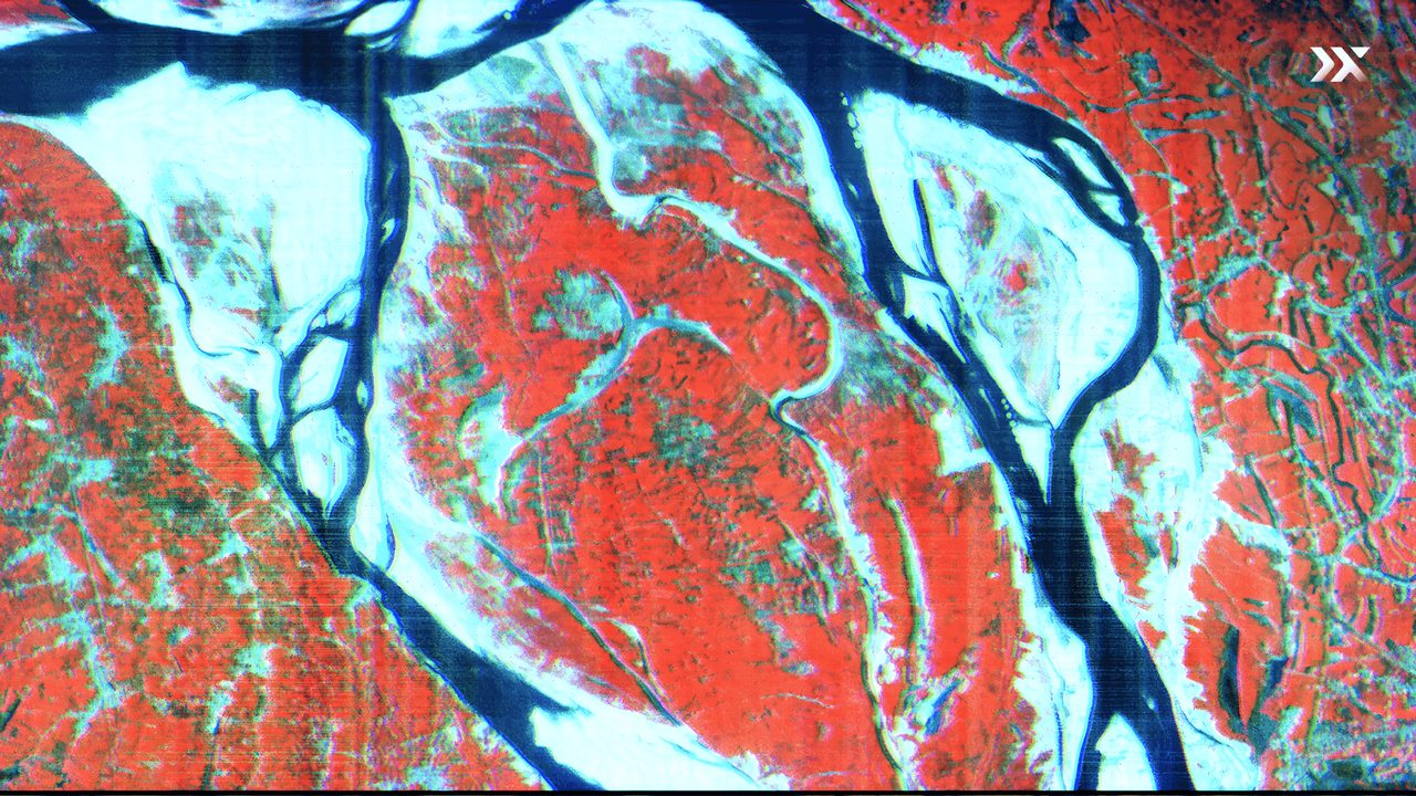
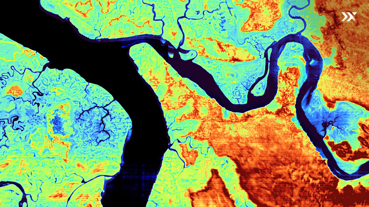
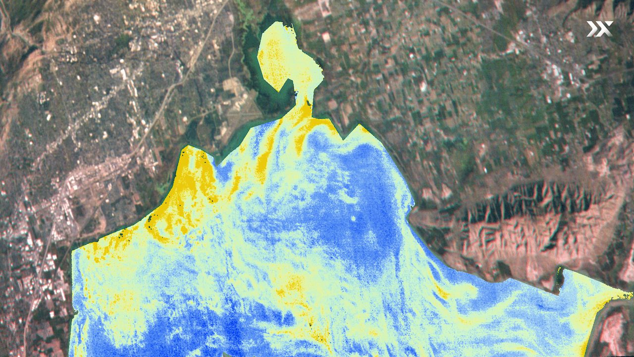
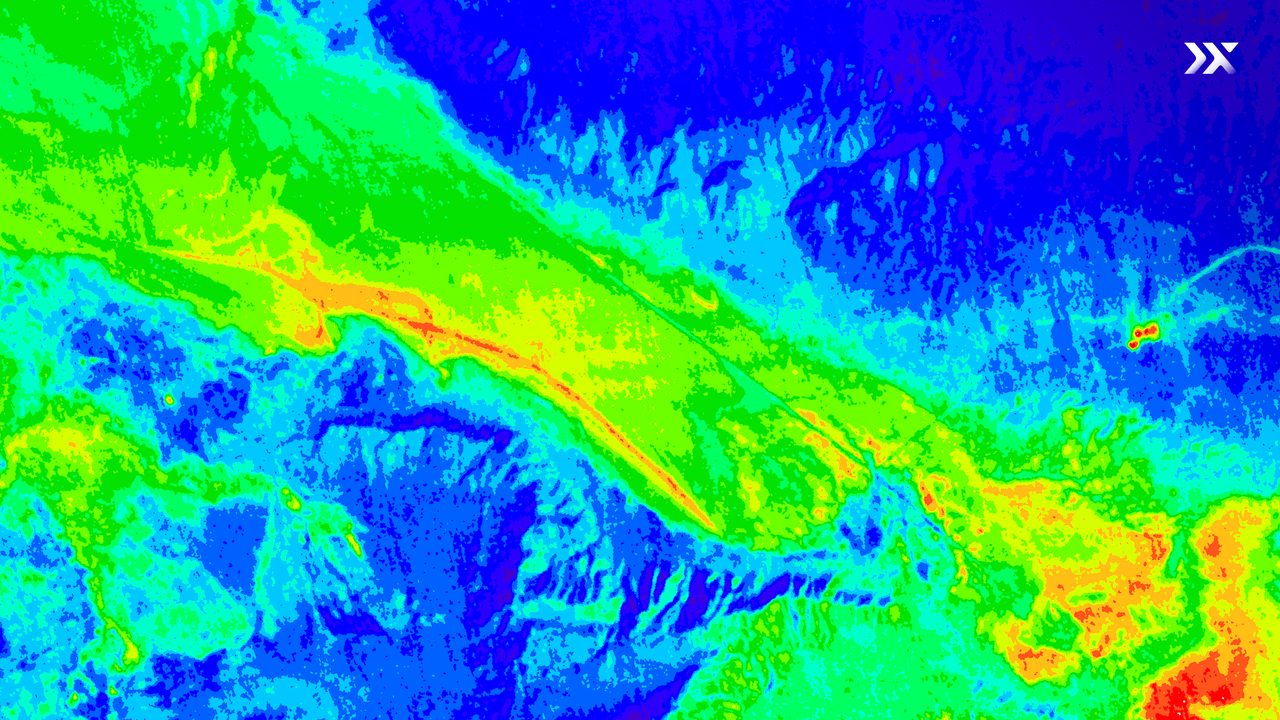
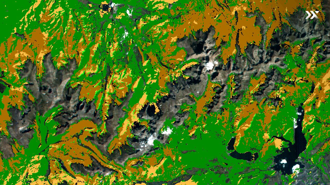
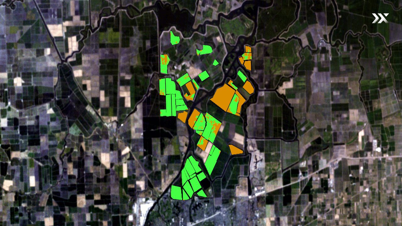
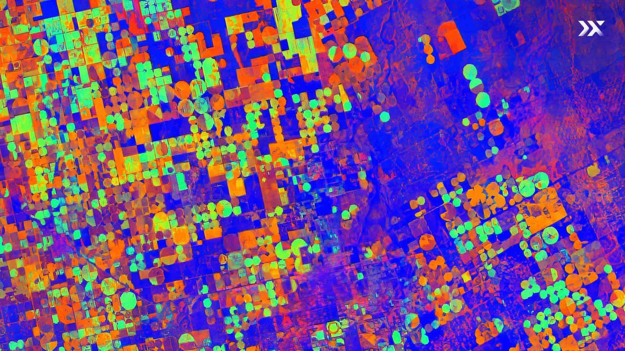
Intelligence Across Every Industry
Hyperspectral imaging delivers a richer understanding of Earth’s surface — composition, condition and change — helping industries adapt faster and operate more efficiently.


Service & Warranty
Pixxel hyperspectral imagery is delivered as a data service through the Aurora Earth Observation Studio, with archive access and new tasking over your area of interest. GulfNet Emirates handles regional ordering, delivery and support across the UAE and wider GCC. Request a quote for tasking, archive or recurring-monitoring packages.
Key Specifications
| Sensor type | Hyperspectral (VNIR + SWIR) |
|---|---|
| Spectral bands | 250+ |
| Spectral range | Visible to Short-Wave Infrared (VNIR–SWIR) |
| Spatial resolution | 5 m |
| Swath width | 40 km |
| Revisit frequency | 24 hours |
| Constellation | Firefly |
| Output modes | Hyperspectral (37–100+), Multispectral (4–12), RGB (3) |
| Delivery | Via Aurora EO Studio — tasking or archive |
| Applications | Agriculture, energy, environment, forestry, mining, government |
Frequently Asked Questions
What is hyperspectral imaging?
Hyperspectral imaging captures reflected light across hundreds of narrow, contiguous spectral bands, revealing the unique spectral fingerprint of materials and surfaces that conventional sensors cannot distinguish.
How many spectral bands does Pixxel capture?
Pixxel’s satellites capture 250+ VNIR and SWIR bands, with imagery available in hyperspectral, multispectral and RGB output modes.
What spatial resolution and revisit does it offer?
5-metre spatial resolution, a 40 km swath width and a 24-hour revisit frequency for timely, high-detail monitoring.
How is it different from multispectral or RGB?
Multispectral uses a handful of broad bands and RGB only three; hyperspectral’s hundreds of narrow bands enable material differentiation and anomaly detection for advanced, high-precision use cases.
How do I order or access the imagery?
Imagery is delivered through Pixxel’s Aurora Earth Observation Studio — browse the archive or task a new capture over your area of interest. GulfNet Emirates manages regional ordering and support.
Which industries benefit most?
Agriculture, energy, environment, forestry, mining and government — for crop and asset monitoring, leak and spill detection, mineral mapping, compliance and disaster response.
What is the Firefly constellation?
Firefly is Pixxel’s constellation of lightweight hyperspectral satellites — the world’s highest-resolution commercial hyperspectral fleet — built to provide planetary-scale coverage.


