
Our software portfolio brings together globally trusted platforms, carefully aligned to different operational workflows and industry requirements. From terrain modeling to asset inspection, our role is simple — select the right tools, configure them correctly, and maximize the value of your data.
DJI Enterprise Processing Tools
Agisoft Metashape
Pix4D Suite
RealityCapture
Bentley ContextCapture
3Dsurvey
GreenValley International LiDAR360
Terrasolid LiDAR Suite
UgCS Expert & UgCS Mapper
Drone-based photogrammetry has evolved into a powerful digital surveying workflow, delivering centimeter-level accuracy at scale. Platforms such as Metashape, Pix4D, RealityCapture, 3Dsurvey, and ContextCapture reconstruct precise 3D models from overlapping imagery.
We ensure your outputs are clean, accurate, and aligned with engineering and survey standards.

LiDAR data processing demands precision, experience, and specialized tools. Our LiDAR software portfolio — including GreenValley LiDAR360 and the Terrasolid Suite — enables teams to convert raw point clouds into structured, actionable spatial intelligence.
Both photogrammetry and LiDAR are powerful — and often complementary.
Many organizations adopt hybrid workflows, combining photogrammetry for visual richness and LiDAR for geometric accuracy — especially in complex or vegetated environments.
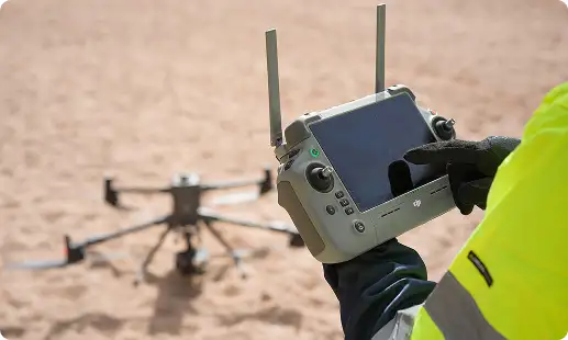
UgCS bridges the gap between flight planning, data acquisition, and processing, ensuring data is captured correctly before large-scale processing begins.
Our focus is not just software — it’s professional-grade deliverables. When paired with proper flight planning, RTK/PPK workflows, GCPs, and standardized processing methods, these platforms deliver survey-grade accuracy suitable for engineering and regulatory use.
Technology delivers value only when people and processes are aligned. We support organizations from initial adoption through enterprise-scale operations.

Software installation & configuration
Workflow onboarding & operator training
Best-practice data capture guidance
Processing optimization consulting
Ongoing technical support
Whether you’re starting your drone journey or scaling enterprise operations, we help your teams develop the knowledge, discipline, and confidence needed to deliver safe, accurate, and professional results.
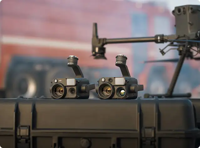
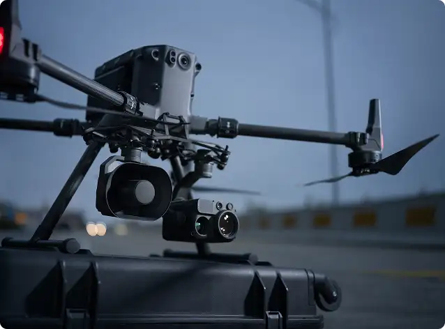
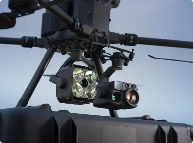
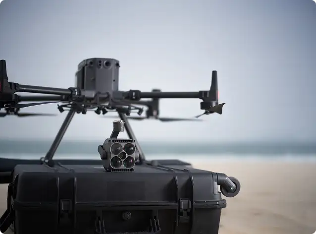
Our ecosystem supports photogrammetry imagery (RGB, oblique, multispectral), LiDAR point clouds, RTK/PPK GNSS data, thermal imagery, inspection datasets, and corridor or linear asset surveys used in professional geospatial workflows.
Yes. When combined with proper workflows, GCPs, and positioning methods, these tools deliver survey-grade outputs suitable for land surveying, infrastructure design, utilities, mining, environmental studies, and urban planning.
The right platform depends on your application and output requirements:
Choose photogrammetry software for mapping, construction monitoring, 2D/3D visualization, and digital twins.
Choose LiDAR processing software for dense vegetation, complex terrain, utility corridors, and high-precision terrain modeling.
Our team helps evaluate your needs and design the most effective processing workflow.