
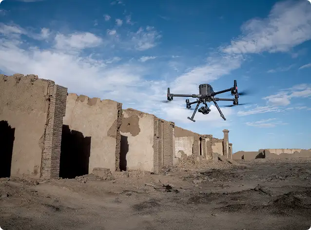
We deliver more than individual cameras or sensors. Our solutions are designed as end-to-end payload ecosystems, supporting inspection, mapping, security, environmental monitoring, industrial safety, and scientific research.

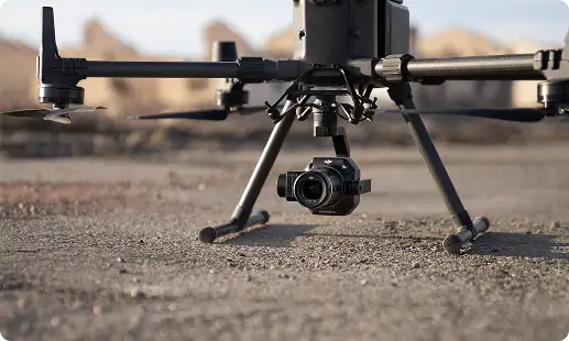
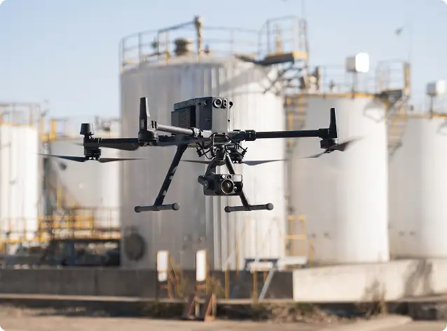
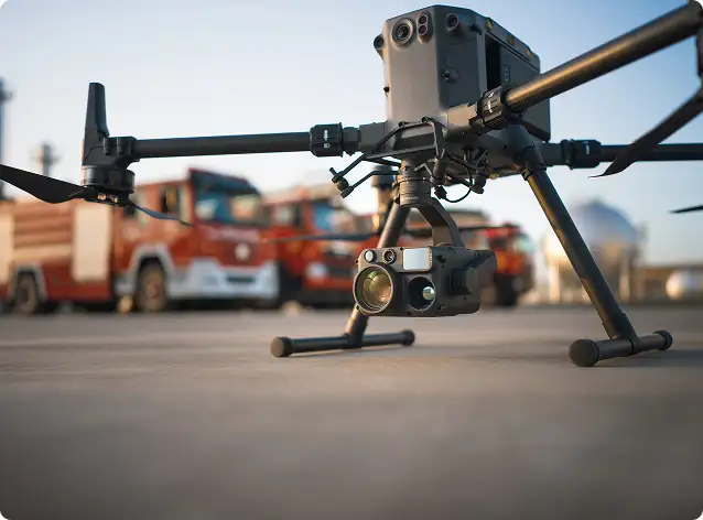
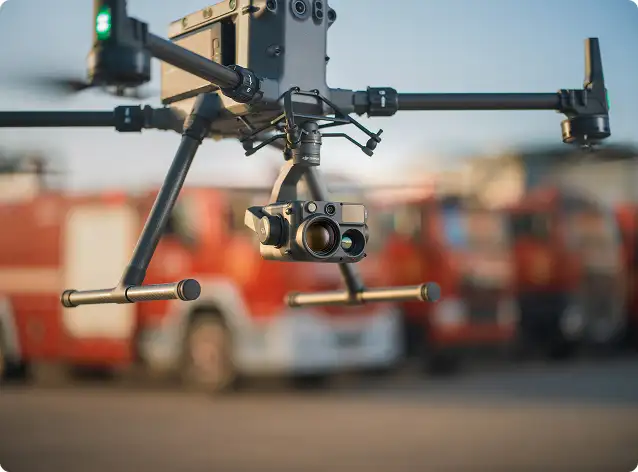
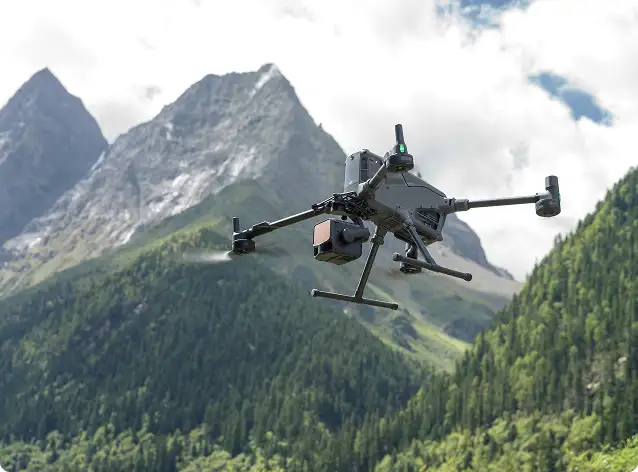
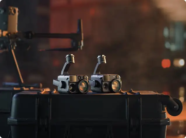
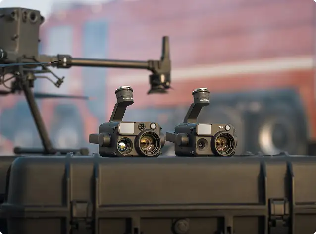
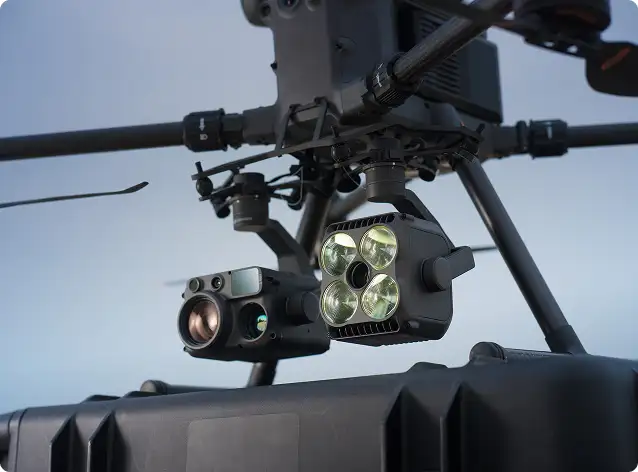
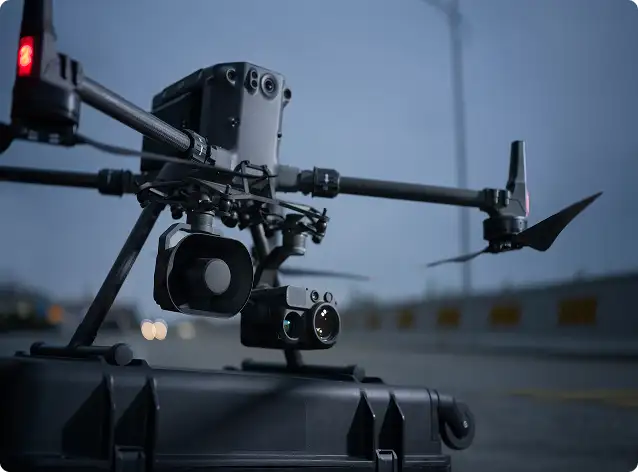
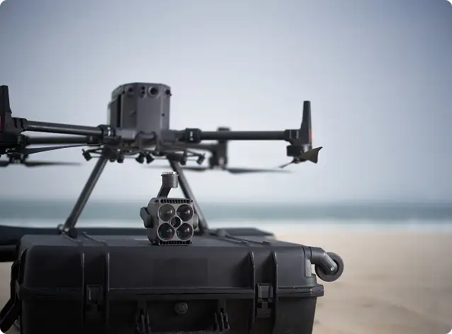
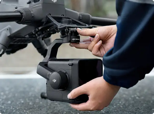
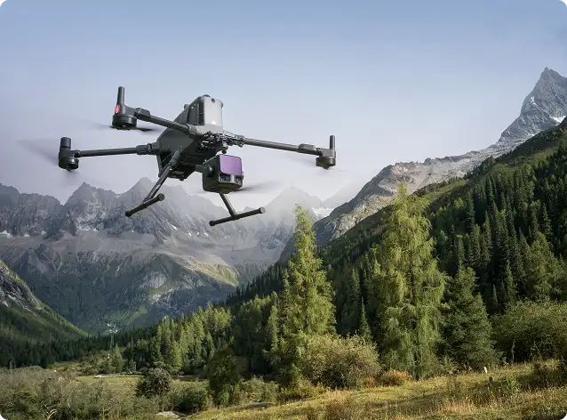
Enterprise visual, zoom, thermal & LiDAR payloads

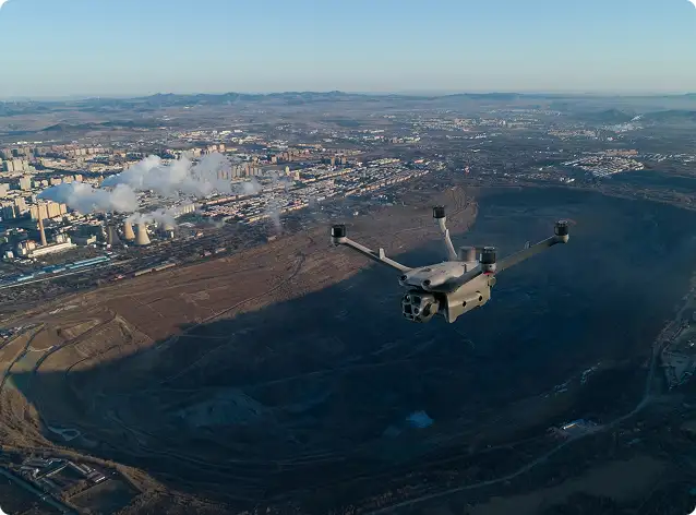
High-accuracy photogrammetry & aerial survey cameras

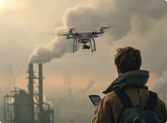
Methane gas detection & industrial safety sensors

Environmental & air-quality monitoring systems

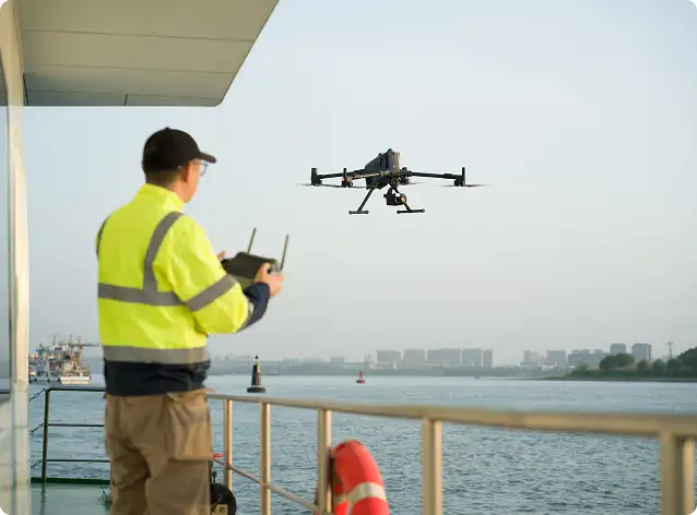
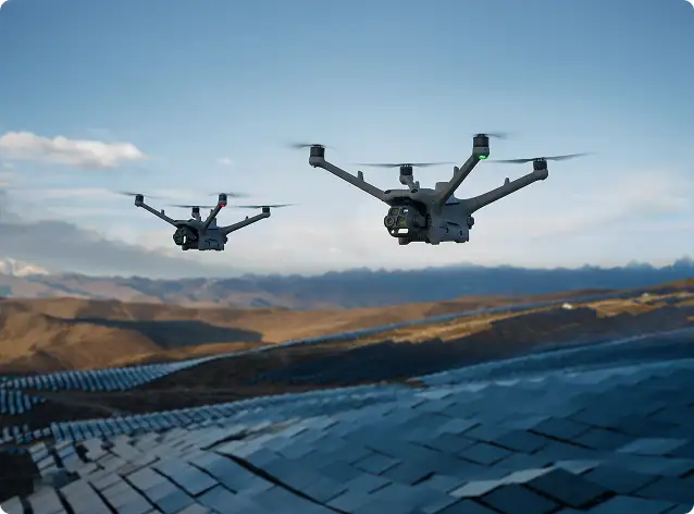
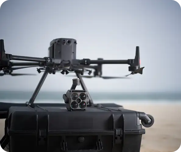
Multi-sensor UAV integrations & advanced mission workflows

Payload integration, training & long-term technical support
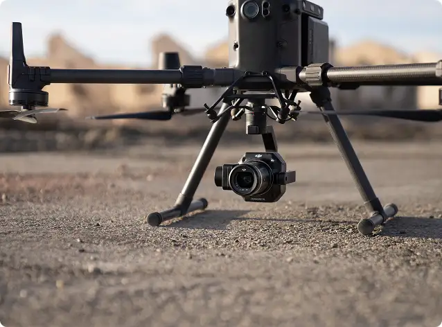
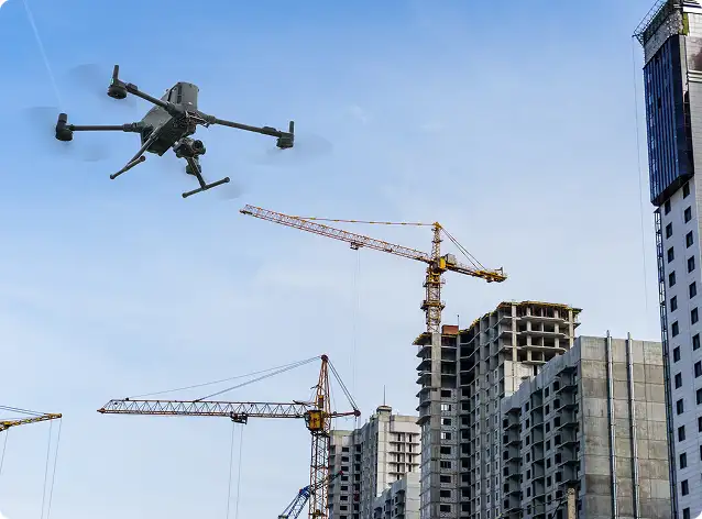
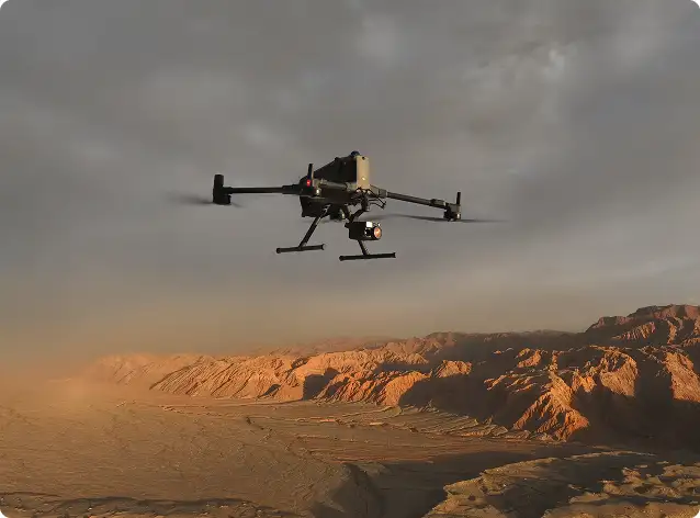
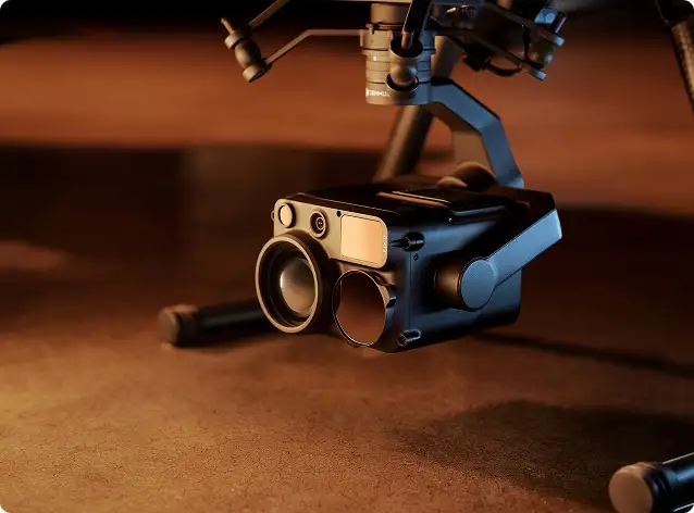
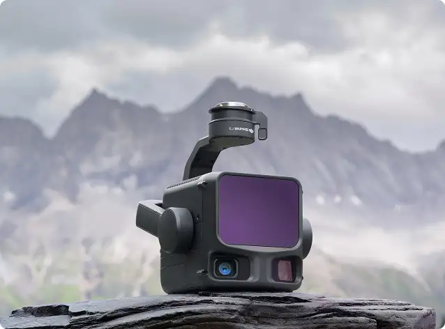
Combining advanced zoom optics, thermal imaging, and laser range capability, the H30 series delivers confidence in every mission.
With full-frame imaging and interchangeable lenses, the P1 delivers survey-grade accuracy with reduced flight time and higher coverage efficiency.
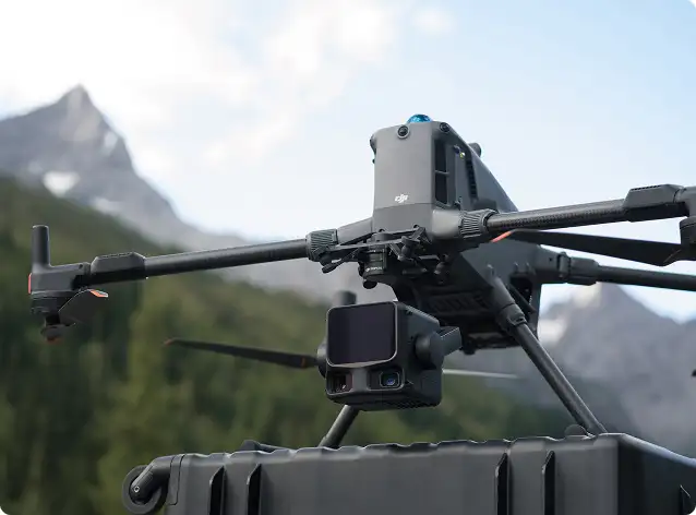
L2 delivers dense point clouds, accurate ground returns, and reliable surface models — even in challenging environments.
Trusted by smart city programs, planning authorities, and geospatial survey organizations, SHARE cameras reduce flight missions while maintaining data consistency and accuracy.
These systems integrate seamlessly into inspection workflows and enterprise safety programs.
Soarability sensor solutions support science-grade environmental intelligence across industrial and research missions.
These payloads provide accurate, regulatory-ready data for decision-makers and compliance teams.
We support advanced mission ecosystems powered by UgCS mission planning software and SPH Engineering integrated UAV solutions.
These platforms are trusted for underground utility mapping, archaeology, environmental research, and marine or inland water surveys.
We don’t just supply payloads — we help organizations achieve measurable operational outcomes.
Our objective is simple:
Better data. Less time. Higher confidence. Real business value.
Our Payload Cameras & Sensor Solutions are trusted across:
Every deployment is tailored to operational goals, regulatory environments, safety standards, and data requirements — because every mission and every dataset matters.
Surveying & geospatial engineering
Oil & gas, utilities & power networks
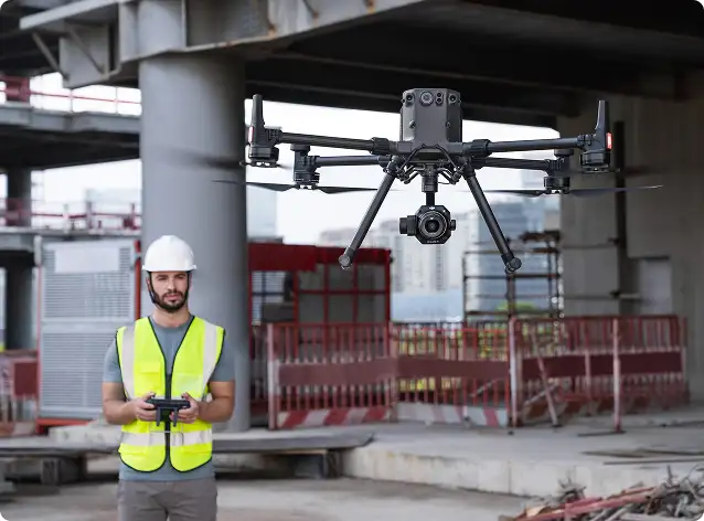
Industrial asset inspection
Smart cities & infrastructure monitoring
Public safety & emergency response
Environmental research & compliance
Defence & security applications
Whether you are launching a new drone program or expanding into automation and remote operations, our team will work closely with you to design a solution aligned with your mission, environment, and operational goals.
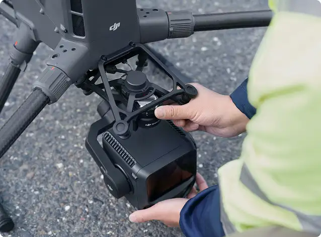
We support the complete DJI Enterprise payload ecosystem, including visual, zoom, thermal, LiDAR, multispectral, and mapping cameras. Our portfolio also includes SHARE aerial survey cameras, Soarability environmental sensors, methane gas detection systems, and SPH Engineering / UgCS integrated mission workflows.
DJI payloads are engineered for professional field operations, delivering stabilized imagery, synchronized metadata, and intelligent capture modes. High-resolution sensors reduce repeat flights, improve accuracy, and ensure consistent, decision-ready datasets across large project areas.
Yes. We provide industrial-grade methane detection and environmental sensing systems for pipelines, refineries, landfills, and industrial facilities. When combined with UgCS and SPH Engineering workflows, these systems enable automated missions, geo-referenced data capture, and regulatory-ready reporting.
Absolutely. Our payload solutions integrate with photogrammetry platforms, GIS systems, inspection tools, and enterprise data pipelines. We ensure seamless adoption through structured workflows, automation, and onboarding support.
Yes. We provide end-to-end support — including training, workflow setup, best-practice guidance, and long-term technical assistance — ensuring your payload systems deliver value throughout their lifecycle.
le drone capability.