




UgCS — Drone Flight Planning Software for Professional UAV Missions
UgCS (Universal Ground Control Software) is the desktop drone flight-planning software trusted by more than 5,000 drone teams worldwide for survey-grade work. Built for surveyors, geophysicists, energy companies and research institutions, it plans LiDAR surveys, magnetometry and GPR missions, and 3D mapping and photogrammetry from one interface — so you get survey-grade data on the first flight instead of re-flying, re-training and re-planning.

Desktop mission planning with full 3D preview
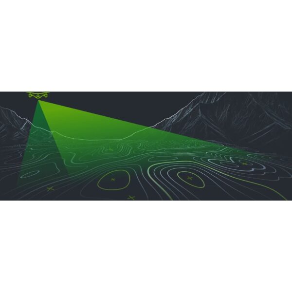
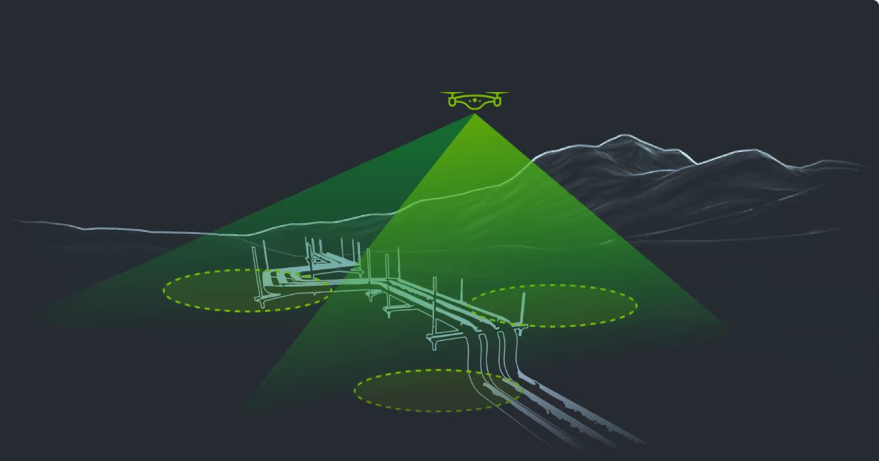
UgCS runs on your desktop, not a 7-inch controller screen, so you can catch overlap gaps, altitude drift and missed strips before you fly. Build complex multi-segment routes with full 3D preview and elevation profiles, import KML/CSV client coordinates, and auto-generate terrain-following corridors with battery-swap points — a 180 km mission can be flight-ready in 30 minutes.
One software for every drone, sensor and mission
UgCS supports DJI, Blue UAS, Freefly, Autel, ArduPilot and PX4 — 100+ platforms — so a mixed fleet keeps the same workflow and no retraining. It is the only planner with dedicated geophysical survey tools and True Terrain Following through SkyHub, plus a full LiDAR toolset (IMU calibration legs, automated loop turns, custom DEM import, smart AGL down to 8 m). Area scans, corridor and façade scanning, circlegrammetry and 3D mapping are all planned from the same interface, online or fully offline.
Applications
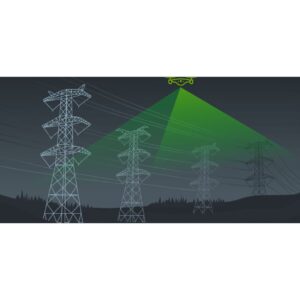
LiDAR surveys, drone geophysics (magnetometry, GPR, gamma-ray spectrometry, bathymetry), 3D mapping and photogrammetry, corridor and utility inspection, mining and stockpile volumetrics, and academic and research workflows.
Service & Licensing
Supplied by GulfNet Emirates Drone & Robotic Systems with UAE-based support and guidance. UgCS is available as a free Open edition, paid tiers with the full LiDAR toolset, and an Enterprise licence for custom sensor integration and larger fleets — as a subscription or a perpetual licence. Request a quote and our team will recommend the right edition for your drones, sensors and projects.
Key Specifications
| Software type | Desktop drone flight-planning & mission-planning software (UgCS — Universal Ground Control Software) |
| Editions | UgCS Open (free), paid tiers with full LiDAR toolset, and Enterprise |
| Licensing | Subscription or perpetual (one-time) — every paid licence includes long-term updates and support |
| Operating systems | Windows, macOS, Linux (Ubuntu) |
| Offline use | Full offline mission planning and flight; cache maps and DEMs in advance |
| Supported drones | DJI, Blue UAS, Freefly, Autel, ArduPilot, PX4 — 100+ platforms |
| Supported sensors | DJI L1/L2/L3, YellowScan, RockRobotic, Riegl and more |
| Key tools | 3D mission preview, custom DEM/DSM import, True Terrain Following (with SkyHub), dedicated LiDAR toolset, corridor/area/façade scanning, automatic battery resume, DJI Pilot 2 cloud sync |
| Applications | LiDAR surveys, geophysics (magnetometry, GPR, gamma-ray), 3D mapping & photogrammetry, mining and corridor inspection |
| Data processing | Plans and flies missions; survey data is processed in your own software (DroneGIS for sharing and viewing results) |
| SKU | SW-UGCS |
Frequently Asked Questions
Where can I buy UgCS Flight Planning in Dubai?
Professional teams looking for UgCS Flight Planning Software in Dubai can source it directly from GulfNet Emirates Drone & Robotic Systems, based at Al Fattan Plaza in Dubai. As an authorised UgCS dealer Dubai, GulfNet Emirates supplies the software with UAE-based advisory, edition selection and post-sale support, so survey, mining and inspection teams don’t have to import a licence from overseas or manage activation issues on their own. The team can also match the licence to your existing DJI, Blue UAS, Freefly, Autel, ArduPilot or PX4 fleet, and recommend the right tier for LiDAR, geophysics or 3D mapping work. Reach out through the Dubai office or the Request a Quote form on the DRS store to begin procurement.
How much is UgCS Flight Planning, and where can I check pricing?
UgCS pricing depends on the edition, the licence model and the number of seats, which is why a fixed shelf number is not published. UgCS Open is free with limits of two saved missions per day and 250 m between the two furthest route points. Paid tiers add the full LiDAR toolset, corridor mapping and façade scanning, and an Enterprise licence covers custom sensor integration and larger fleets. For the current ugcs flight planning software price and the UgCS Drone Flight Planning Software price UAE buyers should budget for, GulfNet Emirates issues a written quote based on your fleet size, sensors and licence term, whether you prefer a subscription or a perpetual purchase. Ask specifically about how much is UgCS Flight Planning for your project scope.
Is UgCS Flight Planning Software available in the UAE?
Yes. UgCS is stocked and licensed locally through GulfNet Emirates Drone & Robotic Systems, so teams across the Emirates don’t need to go through an overseas reseller. You can buy UGCS flight planning software in UAE for survey-grade LiDAR work, magnetometry, GPR, gamma-ray spectrometry, bathymetry, 3D mapping and photogrammetry, all planned from the same desktop interface. Licences are issued for Windows, macOS or Linux (Ubuntu) and work fully offline once installed and once map and DEM tiles are cached, which matters for remote GCC survey sites with limited connectivity. Enterprise buyers can also arrange custom Pixhawk profiles and sensor integration through the same procurement path.
Who sells UgCS Flight Planning in the UAE and who is the authorised UgCS distributor?
In the UAE market, GulfNet Emirates is the UgCS dealer UAE surveyors, geophysicists and utility contractors work with for professional licences of the software. Operating as a UgCS distributor UAE clients can raise POs against, GulfNet handles licence provisioning, tier selection and technical guidance from its Dubai office. This matters because UgCS supports 100+ platforms across DJI, Blue UAS, Freefly, Autel, ArduPilot and PX4, plus sensors from YellowScan, RockRobotic, Riegl and the DJI L1, L2 and L3 series, and matching the right licence to a mixed fleet is not a self-serve task. Buyers who ask who sells UgCS Flight Planning in the UAE? are pointed to the DRS store.
Can I buy UgCS Flight Planning online in the UAE?
The UgCS listing on the GulfNet Emirates DRS store operates on a quote basis rather than instant checkout, because pricing changes with edition, licence term and seat count. To buy UgCS Flight Planning online in UAE, submit the Request a Quote form from the product listing and the Dubai team will respond with a formal offer, activation details and a proforma invoice. This route is faster than importing directly, and the same channel is used when the software is listed as ugcs flight planning software for sale on the DRS storefront. Enterprise buyers can also request bundled proposals covering UgCS licences alongside DJI L-series or YellowScan payloads for LiDAR delivery.
What is the best place to buy UgCS Flight Planning in the UAE?
For UAE buyers, the practical answer to best place to buy UgCS Flight Planning in the UAE is a locally supported channel that can advise on edition, licensing and integration, not a generic overseas download. GulfNet Emirates fits that brief: a trusted seller of UgCS Flight Planning in the UAE that supplies the software alongside DJI drones, Blue UAS platforms, RTK gear and LiDAR payloads from the same store. Buying locally shortens activation, keeps invoicing in AED, and gives your team a direct contact for licence renewals, tier upgrades and edition changes. For survey firms running mixed fleets or moving from PIX4D or Pix4Dfields into a LiDAR workflow, this consolidated procurement path is genuinely useful.
Is there a UgCS Flight Planning supplier in Abu Dhabi?
GulfNet Emirates operates as the UgCS Flight Planning dealer in UAE, serving Abu Dhabi accounts from its Dubai office at Al Fattan Plaza. Abu Dhabi based utility contractors, oil and gas surveyors, and municipal mapping teams can procure UgCS licences the same way as Dubai clients, with delivery of activation credentials and support handled remotely, and on-site consultations arranged where needed. As a UgCS Flight Planning supplier in Abu Dhabi, GulfNet also aligns the licence with the drones and sensors already in use, whether that is a DJI Matrice with an L2, a Freefly Alta with RockRobotic, or an Autel airframe. A single AED quote covers software and any accompanying hardware.
How do I get a quote for UgCS Flight Planning?
To get a quote for UgCS Flight Planning, use the Request a Quote button on the product listing at the GulfNet Emirates DRS store, or contact the Dubai office directly. Share your project profile, so include your drone platforms, sensors, expected mission types (LiDAR, magnetometry, GPR, corridor, façade or 3D), and whether you need a single seat or multiple seats. The team then recommends the right edition and returns a written offer covering licence, term and applicable support. This is the correct path for anyone looking to buy UgCS flight planning software as part of a wider survey or inspection procurement, and it also covers Enterprise licences with custom sensor integration.
Can I book a UgCS Flight Planning demo in Dubai before I buy?
Yes. Buyers considering a paid tier can book a UgCS Flight Planning demo in Dubai through GulfNet Emirates. A walkthrough is useful because UgCS is a desktop planner with a full 3D mission preview, custom DEM/DSM import, True Terrain Following via SkyHub, corridor and façade scanning, DJI Pilot 2 cloud sync and a dedicated LiDAR toolset, and seeing that workflow against your own site data makes edition selection much easier. Demos also help teams comparing UgCS Flight Planning for sale in Dubai with the free UgCS Open edition understand exactly which limits (mission count, 250 m route span, LiDAR tools) apply, and where the paid tiers pay back on the first survey.
What is the UgCS Flight Planning price in UAE for the different editions?
UgCS ships in three tiers, and the UgCS Flight Planning price in UAE tracks that structure. UgCS Open is free with the two saved missions per day cap and the 250 m route point limit. Paid tiers unlock the full LiDAR toolset with IMU calibration legs, automated loop turns, custom DEM import and smart AGL down to 8 m, plus corridor and façade scanning. The Enterprise licence adds custom sensor integration and is priced for larger fleets. Each paid licence includes long-term updates and support. GulfNet Emirates confirms the exact figure per seat and per term (subscription or perpetual) once your fleet and mission profile are shared through the quote form.
Should I choose subscription or perpetual, and does UgCS process the survey data too?
Both licence models are available. A subscription keeps updates active for as long as you pay, while a perpetual licence is a one-time purchase, owned outright, with the first year of updates and support included. Subscriptions suit teams testing UgCS on a project, and perpetual licences suit established survey businesses running the software long-term across mixed fleets. Note that UgCS plans and flies the mission, including True Terrain Following and battery-swap resume, but it does not process the LiDAR, imagery or geophysical data itself. That happens in your existing processing software, with SPH Engineering’s DroneGIS available for sharing flight plans and viewing results on an interactive map.