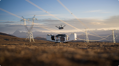
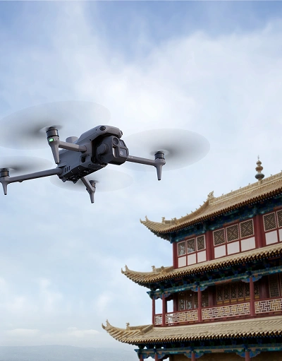
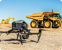
Enterprise Drones
Industrial-grade UAV platforms designed for harsh environments, long endurance, autonomous missions, and regulatory compliance.

Enterprise unmanned systems delivering drones, robotics, sensors, and data software for real-time awareness, operational efficiency, and end-to-end support across government, infrastructure, and private sectors.
Enterprises Served
Flight Hours Safely Logged
Faster Inspections For Major Projects
Improvement In Operational Efficiency
Enterprise Solutions Tailored for Every Industry
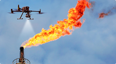
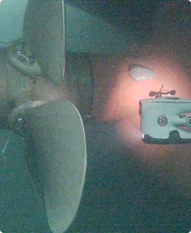
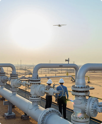
Reduce risk and downtime with advanced aerial inspections for refineries, pipelines, and offshore platforms across the GCC region.
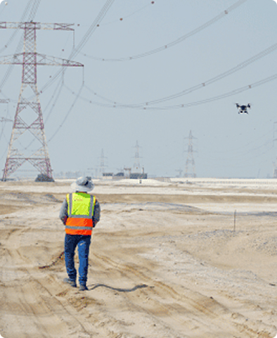
Maximize grid reliability and solar panel performance with thermal imaging and automated inspections across transmission, distribution, generation, and solar infrastructure.
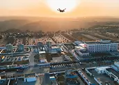
Gulfnet offers precise drone inspections and surveys for bridges, highways and public assets – helping GCC operators to reduce downtime and keep critical networks safe.
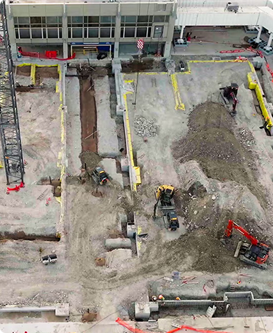
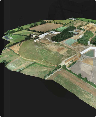
Construction progress monitoring, precise quantity and volumetric measurement, and data-driven insights to ensure project delivery on time and within budget.
Get non-intrusive inspections, thermal fault detection, and performance assessment that support reliable and efficient energy generation across solar and wind assets, with Gulfnet.
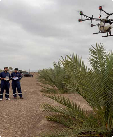
Drone-based seeding, spraying, and crop monitoring with aerial mapping and data insights to improve farm efficiency, reduce costs, increase yield, and support smarter farming decisions.
 Oil & Gas and Marine
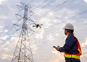 Power & Utilities
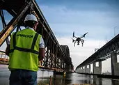 Infrastructure
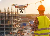 Construction
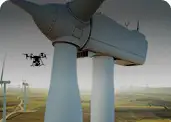 Renewables
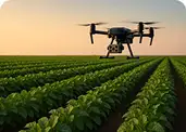 Agriculture
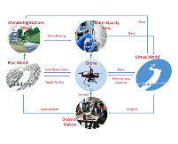
Smart Technology for Better Decisions

Integrated drones, sensors, and software transform aerial data into actionable intelligence.
Enterprise Drones
Industrial-grade UAV platforms designed for harsh environments, long endurance, autonomous missions, and regulatory compliance.
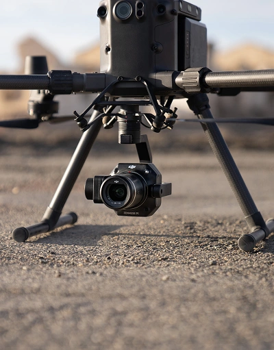
Payload Cameras & Advanced Sensors
We offer a powerful range of payloads engineered for high-accuracy inspection, mapping, and industrial applications.
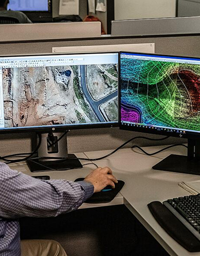
Data Processing Software
We provide industry-leading software for mission planning, photogrammetry, LiDAR processing, and advanced analytics.
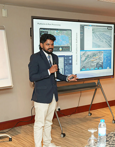
Training & Certification
Become a certified expert in drone operations, mapping, and data analytics through our internationally aligned training programs.

Smart Robotic Solutions
We help organizations move beyond experimentation into real-world humanoid robot deployment.
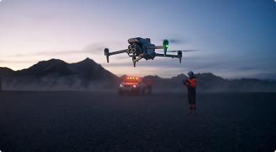
Enable fully autonomous, remote drone operations with dock-based solutions designed for 24/7 monitoring,
scheduled missions, and rapid incident response.
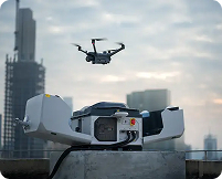
Automated takeoff, landing, charging, and data transfer

Remote operations centers and cloud-based control
Seamless integration with enterprise security and GIS systems
Reduced manpower and operational costs
Demonstrating Impact Through Real-World Implementations

Aerial Inspection: Reduce inspection time by 50%

Surveillance: Real-time monitoring enhances security response

Mapping & Surveying: Accurate 3D mapping improves project planning

Asset Monitoring: Efficiently track and manage assets
From Flight to Insight in 4 Steps
Obtain all required flight permissions and rapidly deploy drones or robotic systems customized to your mission.


Collect high-resolution raw imagery, thermal data, LiDAR, and sensor data.
Process raw data into actionable insights using advanced analytics and AI, and provide detailed deliverables and reports.


Make faster, smarter decisions to optimize operations, improve safety, and maximize ROI.
We collaborate with world-class OEMs and software providers in drones, sensors,
robotics, and geospatial analytics to deliver reliable, future-ready solutions.


Discover how enterprise drones, robotics, and intelligent software platforms can
transform your operations with precision, safety, and confidence

Stay updated with our latest blogs and expert insights