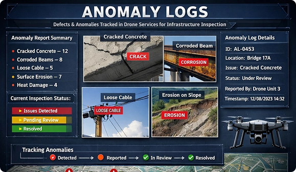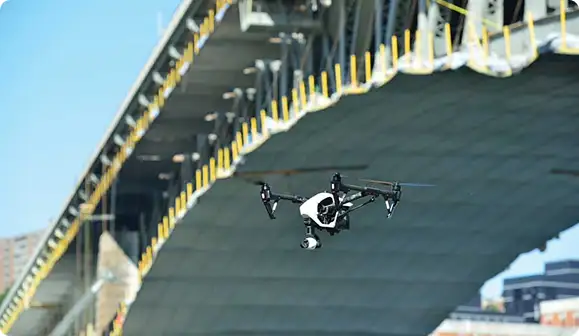


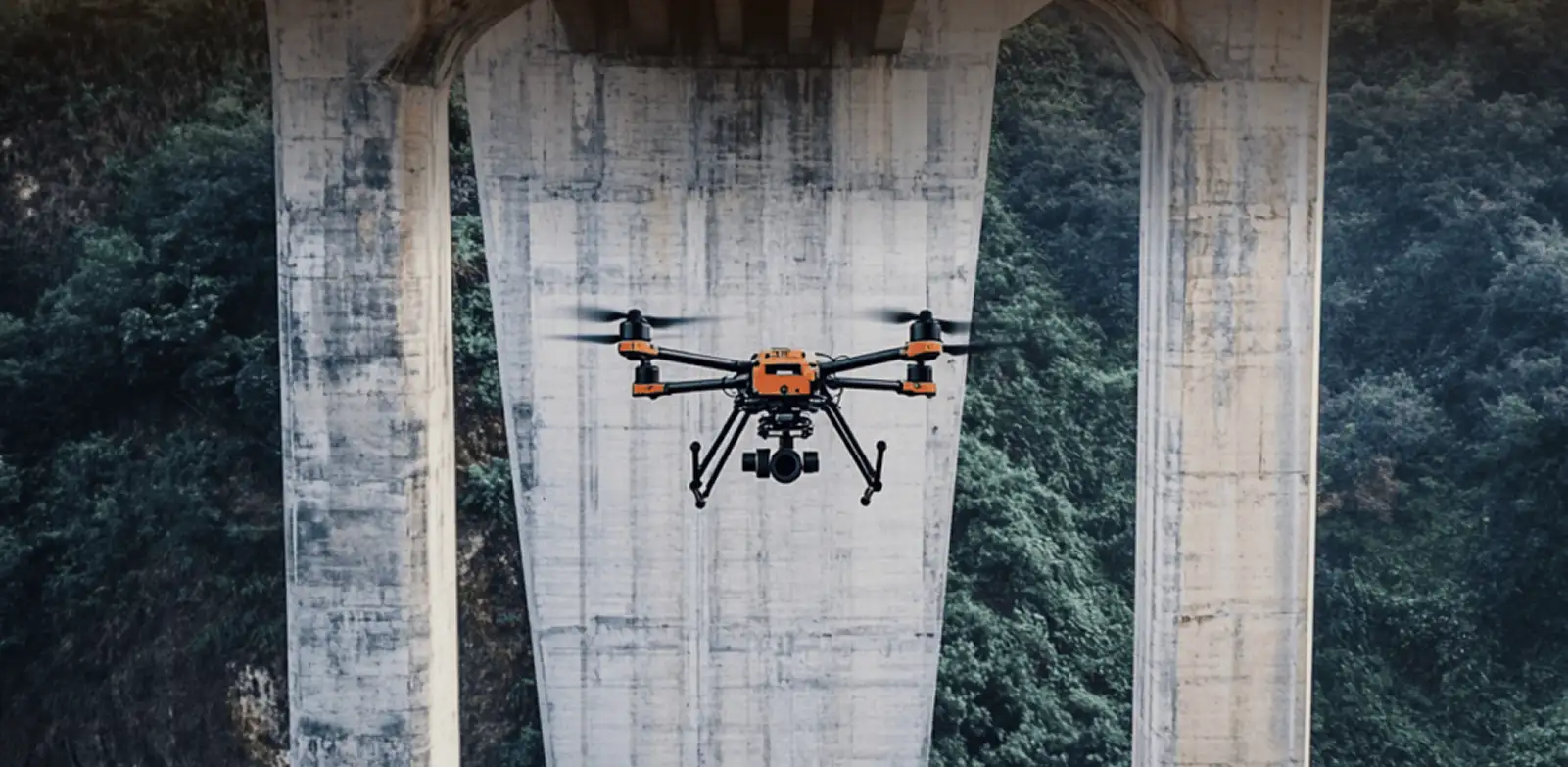
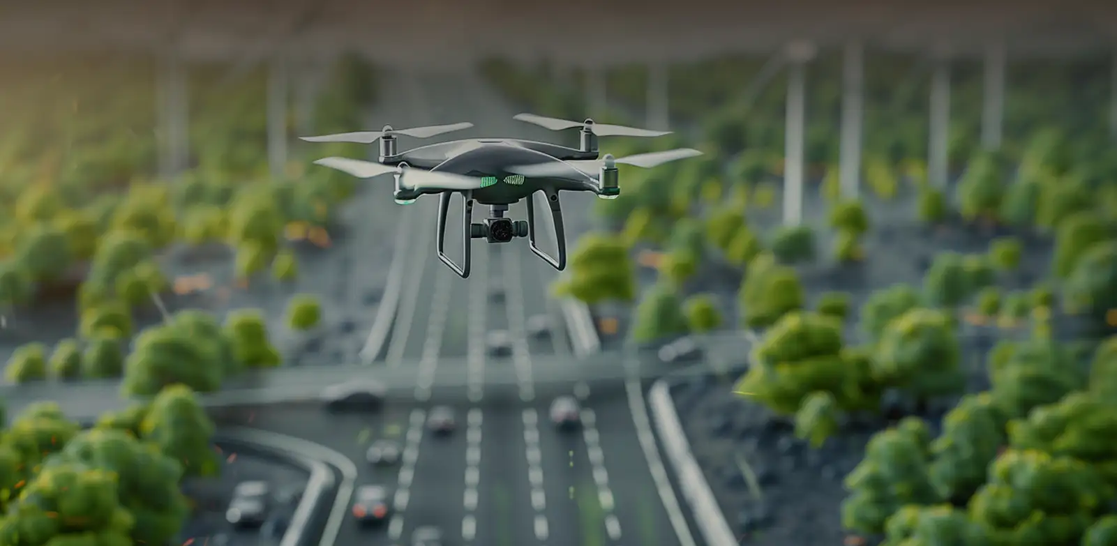
UAV-Based Bridge Structural Inspection
Our UAVs capture detailed imagery of decks, support columns, joints, and load-bearing elements – revealing any defects that walkthroughs miss.
- Detects hairline cracks, corrosion and spalling in its early stages
- Reaches decks under without snooper trucks
- Creates geotagged records to compare again
- Maintains data flow of traffic while collecting data

Elevated Structure Visual Surveys
We document ramps, interchange connectors and elevated roadways from multiple angles, identifying fatigue zones and drainage faults in an efficient way.
- Covers superstructure and substructures in one mission
- Time stamp all images for trend tracking
- Operates in the airspace restrictions for the urban areas safely
- Dramatically cuts the number of ground crews by half
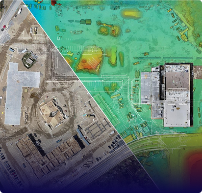
High-Accuracy Road Mapping Services
Photogrammetry flights produce centimeter-accurate orthomosaics and terrain models, providing planners with accurate data they can use when rebuilding, widening or building to new alignments.
- Returns survey grade length and volume outputs
- Maps shoulders, medians and adjacent asset
- Supports design validation and progress checks
- Covers long corridors in less time than ground crews
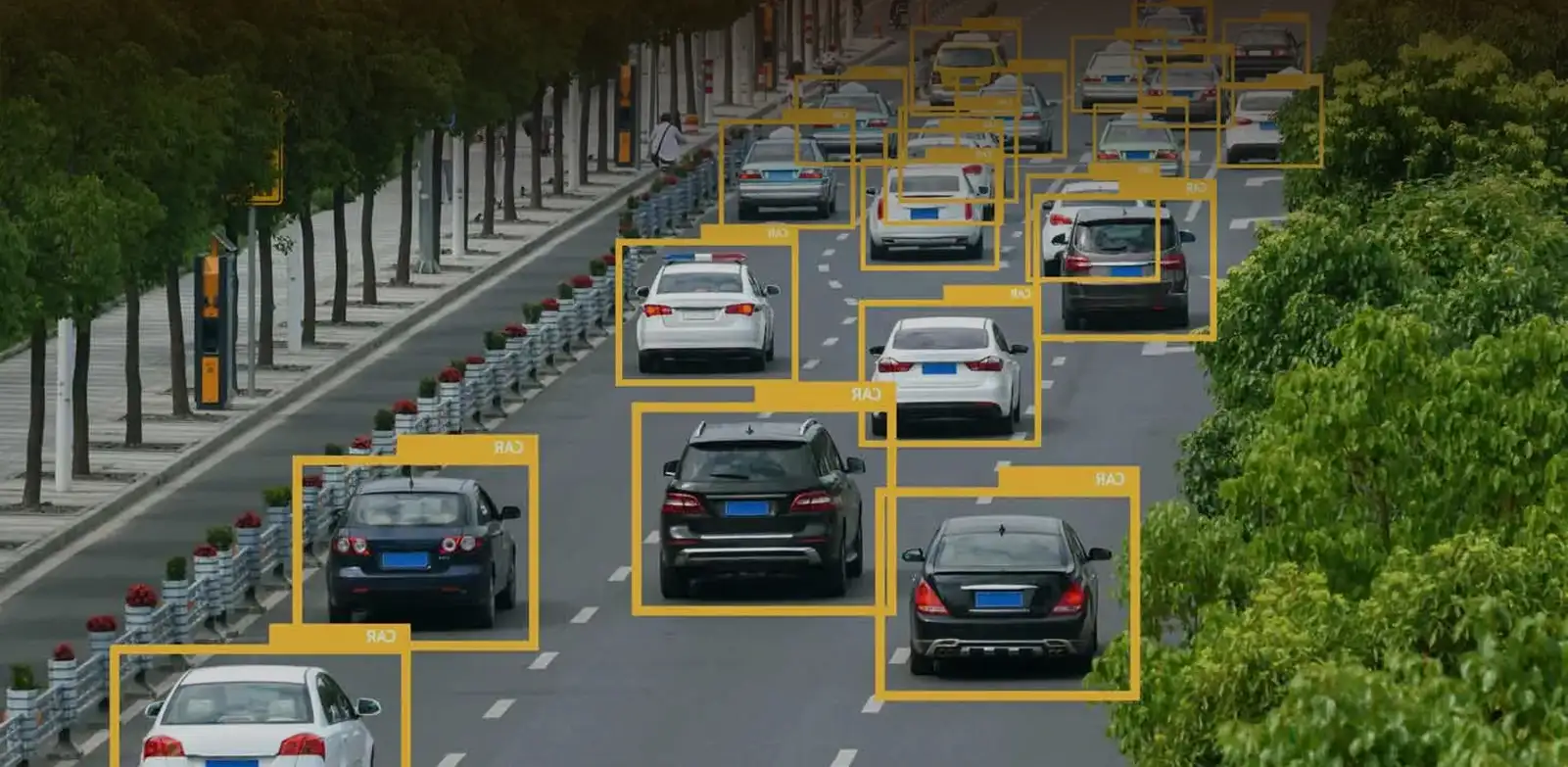
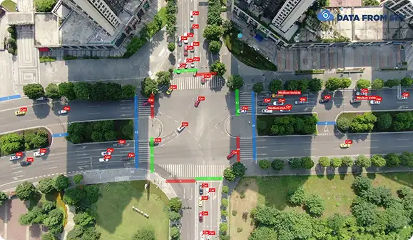
Traffic Monitoring and Data Collection
Overhead footage feeds analytics to extract vehicle counts, lane densities and turning movements – replacing temporary sensors and manual tallies.
- Eliminates roadside sensor installation all together
- Captures patterns of rush hour congestion in detail
- Exports measures ready for planning models
- Deploys in hours, not days
 UAV-Based Bridge
 Elevated Structure
 High-Accuracy Road
 Traffic Monitoring