Delivering enterprise-grade drones, advanced sensors, data software, and certified training to transform how industries capture, analyze, and act on critical data.
Pioneering End-to-End Drones & Robotics Ecosystems
We are a leading provider of advanced UAV systems, professional payload cameras, LiDAR and subsurface sensors, and industry-recognized training programs.
Our mission is to bridge the gap between cutting-edge technology and real-world operational needs—delivering solutions that elevate efficiency, accuracy, and strategic decision-making.
From enterprise drones to data intelligence platforms, we empower organizations in multiple industries
Learn MorePrecision. Performance. Professional Reliability.
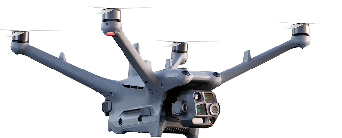
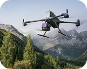
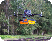
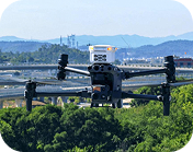
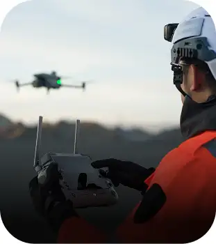
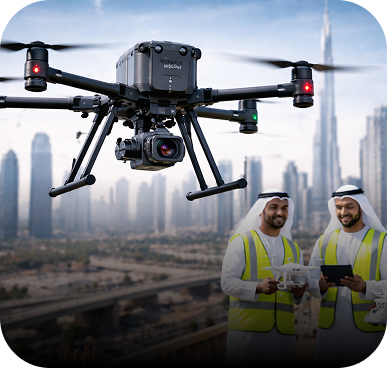
DJI Enterprise UAVs (M400, 350 RTK, M30 Series, Dock 2)
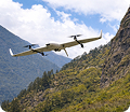
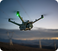
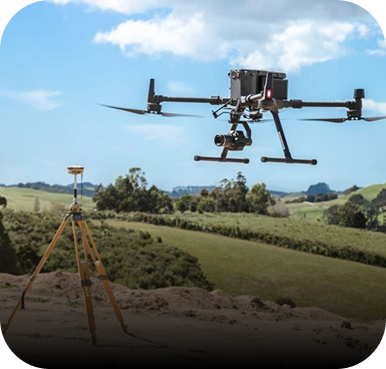
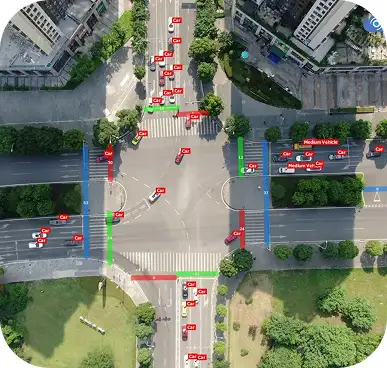
Survey & Mapping Drones (multirotor, fixed-wing, VTOL)
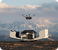
Autonomous & BVLOS-ready drone-in-a-box solutions
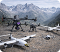
Custom system integration and mission-specific modifications
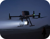
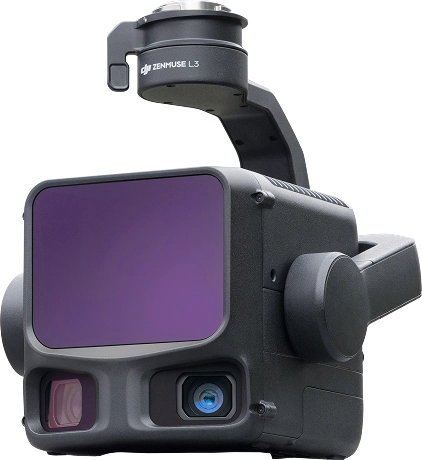
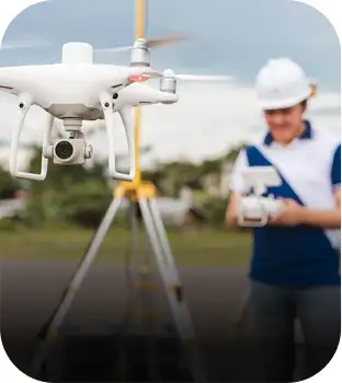
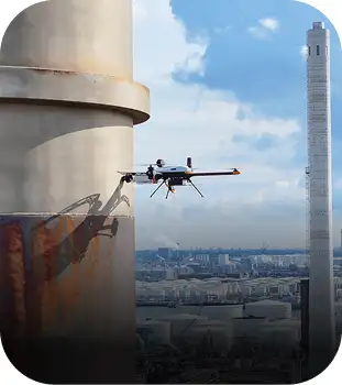
Capture Every Detail With Clarity & Confidence
We offer a powerful range of payloads engineered for high-accuracy inspection, mapping, and industrial applications.
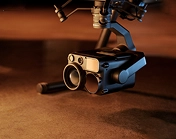
Photogrammetry cameras (full-frame, oblique, ultra-HD)
LiDAR scanners for 3D terrain & corridor mapping
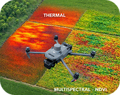
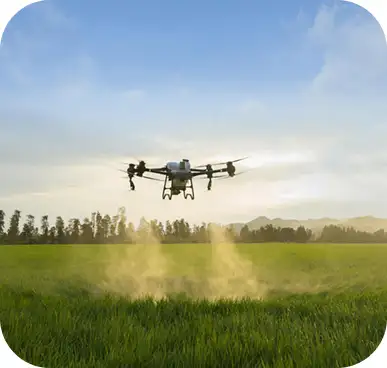
Thermal & multispectral imaging for inspection & agriculture
SPH Engineering sensors (GPR, Magnetometer, Echosounder)
Gas detection & environmental monitoring sensors
Specialized payloads for security and tactical operations
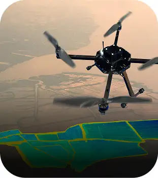
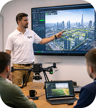
Transform Data Into Actionable Intelligence
Your drone is only the beginning—what truly matters is the data it delivers.
We provide industry-leading software for mission planning, photogrammetry, LiDAR processing, and advanced analytics.
Our Software Solutions Include:
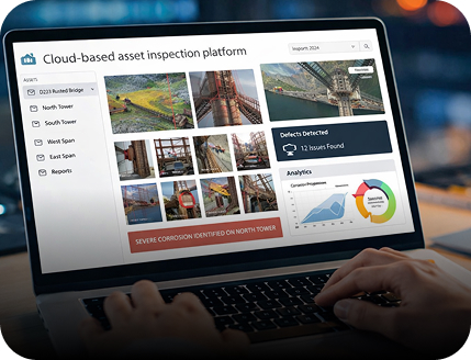

Orthomosaic generation

3D modelling

Point cloud classification

Subsurface imaging interpretation

Automated reporting
Professional Training That Builds True Capability
Become a certified expert in drone operations, mapping, and data analytics through our internationally aligned training programs.

OEM-approved training curriculum

Hands-on missions with enterprise drones

Real project case studies

Professional certification upon completion
UAV Pilot Certification (Beginner → Advanced → BVLOS)
Survey & Mapping Specialist Certification
LiDAR & Photogrammetry Data Processing Workshops
UgCS & SPH Engineering Sensor Certification
Industry-focused courses: Powerlines, Oil & Gas, Mining, Environmental, Public Safety
Powering the Next Era of Human-Robot Collaboration in the UAE.

We help organizations move beyond experimentation into real-world humanoid robot deployment.
By combining global technology leadership, UAE market insight, and deployment expertise, we enable scalable, compliant, and sustainable humanoid robotics across smart cities, logistics, healthcare, enterprise, and research. From platform selection to long-term operations, we make the future practical.
From evaluation to deployment, we turn humanoid robotics into operational reality. We source leading global platforms, match them to high-impact use cases, and handle compliance, service planning, and long-term support.
Delivering mission-critical solutions to a wide range of sectors
Government & Municipalities
Surveying & Geospatial Firms
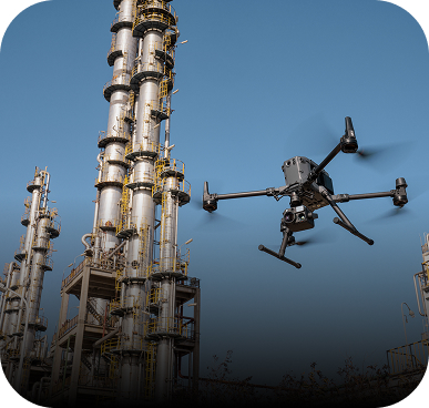
Oil, Gas & Petrochemical
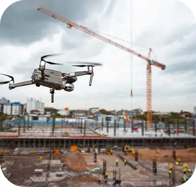
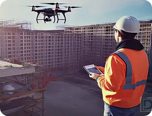
Construction & Infrastructure
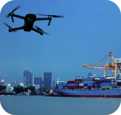
Ports & Maritime
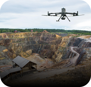
Mining & Quarrying
Emergency Response & Public Safety
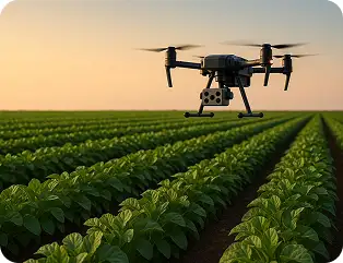
Agriculture & Environmental Agencies
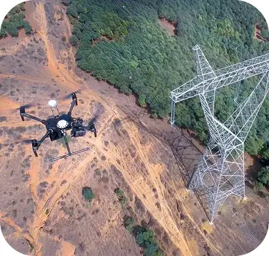
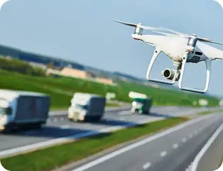
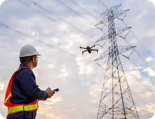
Utilities (Powerlines, Solar, Telecom)
Your Trusted Technology Partner for Aerial & Data Solutions

Official reseller & systems integrator of DJI Enterprise

Expert solution team with deep UAV & data experience

End-to-end workflow support hardware, software, training, deployment

Regional presence and fast operational response

Customized solutions for government and enterprise organizations
Speak with our solutions specialists today