
Our curriculum covers the full lifecycle of drone operations — combining classroom learning, hands-on field training, real project datasets, and structured certification paths.
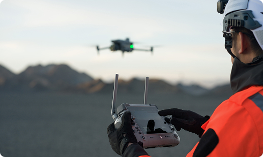
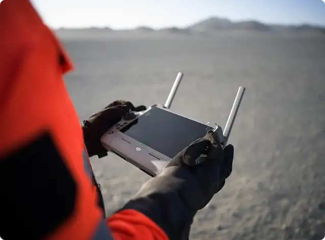
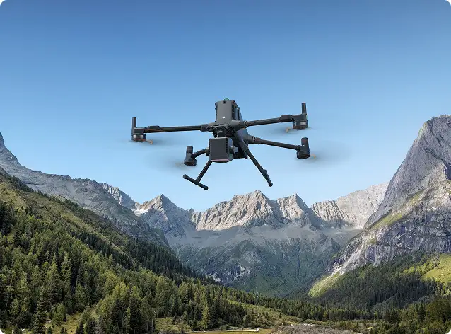
Drone pilot training & flight operations
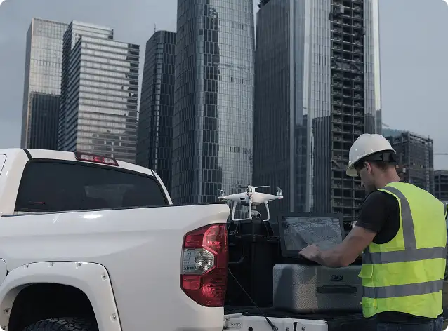
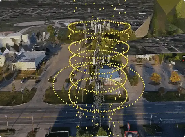
Aerial surveying, mapping & inspection workflows
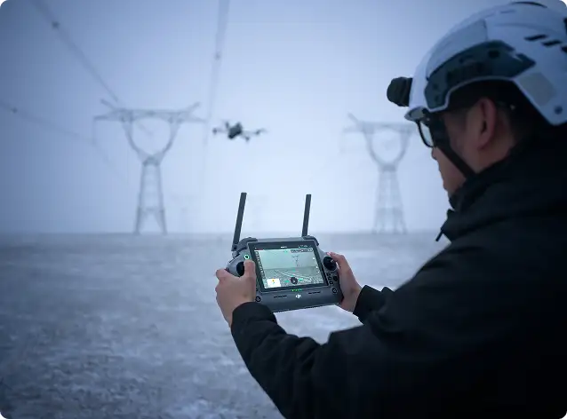
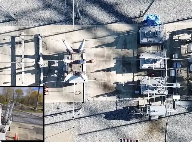
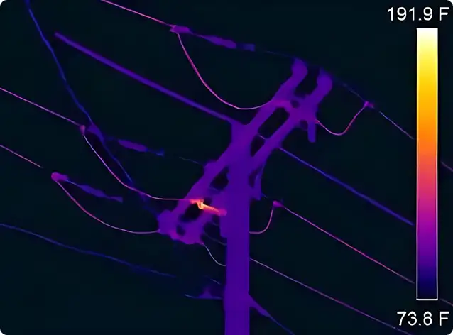
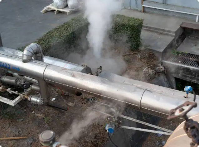
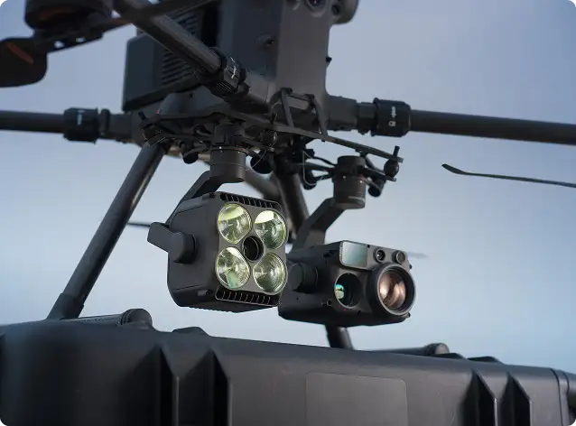
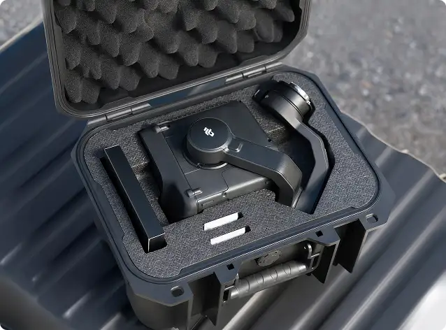
Thermal, LiDAR & industrial sensing missions
Drone data processing & analytics
Enterprise SOPs, safety & compliance best practices
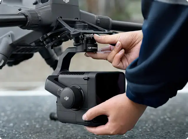
A strong foundation for new and professional pilots, delivered using enterprise-grade platforms and real operational scenarios.
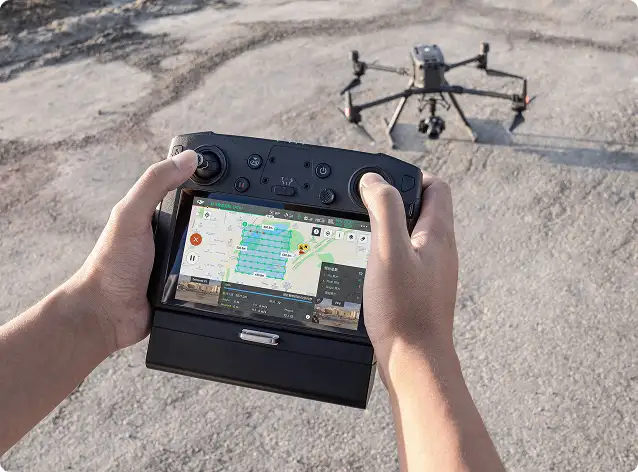
Designed for geospatial and engineering professionals, focusing on repeatable missions and engineering-grade outputs.


Specialized training for LiDAR-based workflows in complex and vegetated environments.

Built for utilities, energy, and infrastructure teams requiring consistent and safe inspection routines.


Ideal for maintenance, utilities, security, and industrial inspection teams
Field operations continue at the workstation. Our software training ensures accurate, professional-grade deliverables.
Our programs are tailored for professionals and organizations building in-house drone capability across industries.
Programs are customized for beginner, intermediate, and advanced skill levels.
Surveying & engineering firms
Government & municipal departments
Utilities, oil & gas & energy operators
Construction & infrastructure developers
Environmental & engineering consultants
Drone service providers & inspection teams
Universities, research & R&D groups
Whether you’re starting your drone journey or scaling enterprise operations, we help your teams develop the knowledge, discipline, and confidence needed to deliver safe, accurate, and professional results.
Our programs support both beginners and experienced professionals working in surveying, inspection, utilities, infrastructure, public safety, and enterprise drone operations.
Yes. Training includes live flight missions, RTK/PPK workflows, inspection scenarios, and real aerial datasets for processing and analysis.
Yes. Participants receive official Training Completion Certificates, with corporate and government branding available upon request.
Beginner courses require no prior experience. Intermediate and advanced programs (LiDAR, utilities inspection, data processing) benefit from prior operational or surveying experience.
Yes. We design customized programs aligned to organizational SOPs, local regulations, mission profiles, and equipment — delivered onsite or at approved training locations.