Gulfnet offers drone based precision agriculture services to help farmers, agribusinesses and plantation operators monitor crops, optimize inputs and make informed decisions throughout the growing cycle. Our solutions provide timely field intelligence with reduced manual efforts, wastage of inputs and operational risk.
Traditional crop monitoring techniques depend heavily on ground inspections, which are time consuming, subjective and often limited in coverage. Early signs of crop stress, irrigation problems or uneven growth may go unnoticed until yield or quality get affected.
Services offered by Gulfnet’s drone-based agricultural solutions supply a wider, data-driven perspective of the field conditions allowing early intervention and improved planning without disturbing crops or everyday farm operations.
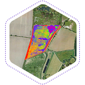
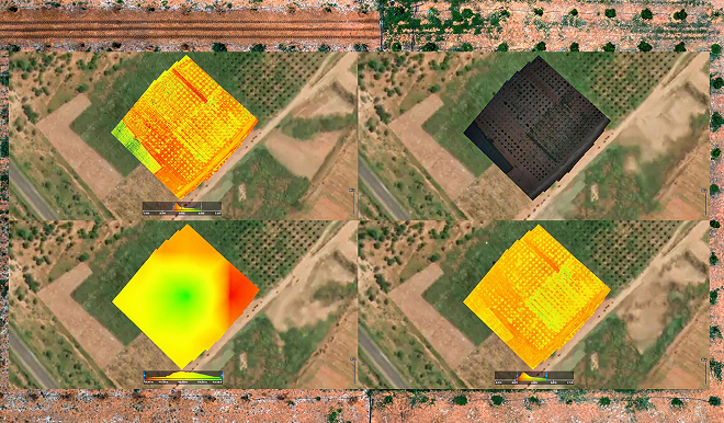
We use multispectral sensors to determine the health and variability of crops across fields.
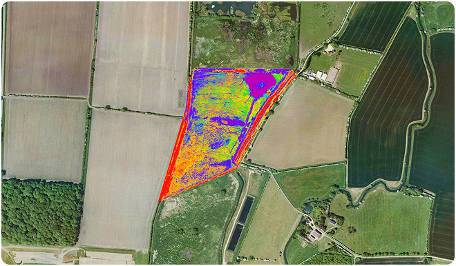
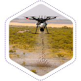
Our drone-based seed deployment services help in a controlled seeding in a specific or hard-to-reach area.
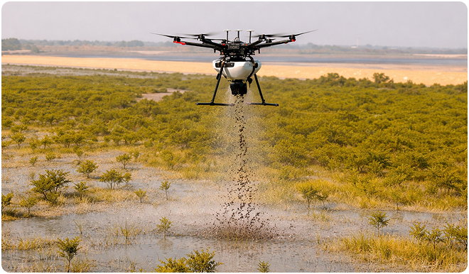
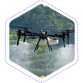
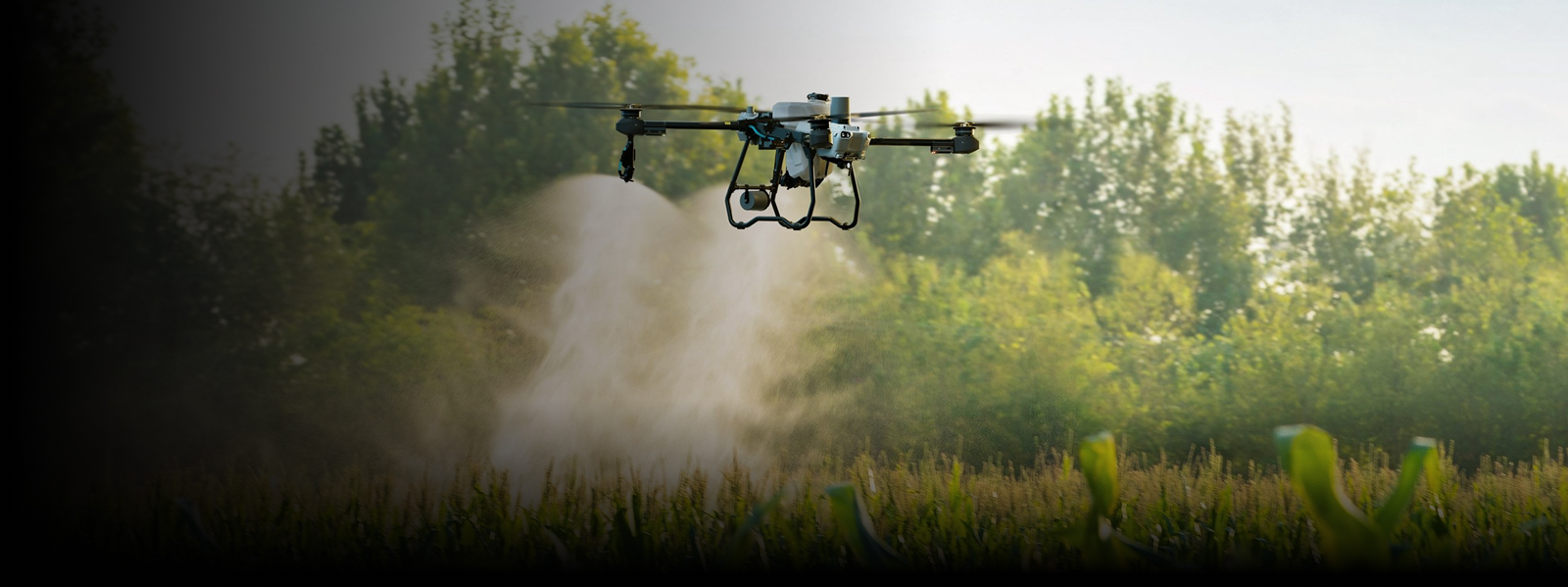
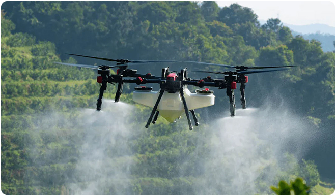
We offer drone spraying supports on agricultural liquids with precise and controlled application.
Targeted spraying to reduce chemical application
Your centralized platform for reviewing vegetation indices, tracking field conditions, and planning interventions.
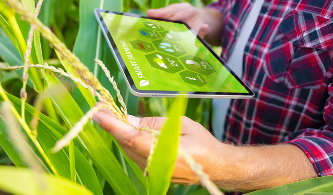
Gulfnet’s agricultural workflows are centered on useful outputs instead of raw data. Deliverables aim to help farmers and agronomists to look for issues early on, prioritise actions and become better at managing the fields more efficiently.
Our services support:
Monitor crop conditions, irrigation performance, and field variability using structured drone surveys and analytical reports.
A crop monitoring drone is suitable for a wide range of crops such as field crops, plantations, orchards and horticulture. The effectiveness is dependent on the type of crop, the stage of growth and the choice of sensor. Gulfnet deploys the best drones for agriculture monitoring across the GCC, matching platform and payload configurations to each crop type and terrain condition to ensure the most actionable data from every flight.
No. NDVI and other vegetation indices captured by a multispectral agriculture drone supplier platform are indicators of relative plant health and vigour. They support decision-making but do not directly measure yield. Yield estimation needs additional agronomic analysis as well as ground data. Pairing drone agriculture data with soil sampling, weather records and historical yield figures gives farm managers a more complete picture for forecasting.
Monitoring frequency is reliant on the type of crop and the crop growth stage. Many farms use precision farming drones to conduct surveys at key points of the growing season such as early growth, mid-season and pre-harvest, or after particular events such as irrigation or weather stress. A crop monitoring drone program with regular flight cycles builds historical datasets that reveal trends and inform input decisions across successive seasons.
DJI agriculture drone platforms used for spraying are operated using approved procedures, calibrated application rates and regulatory requirements. They limit chemical exposure for operators while delivering precise coverage across target zones. A dji farm drone equipped with variable-rate nozzles adjusts application in real time based on prescription maps, ensuring each section of the field receives the correct dosage. All operations comply with local agricultural and aviation regulations applicable in the GCC.
Farm drones function as a strategic support and operational tool for precision agriculture. They complement traditional farming practices but do not replace agronomic knowledge and ground-based activities. The value of drone agriculture lies in giving farm managers faster, more granular visibility into crop and soil conditions so that traditional expertise is applied with greater precision and efficiency.
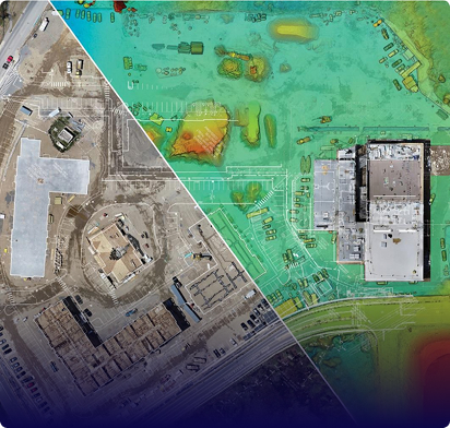
Deliverables from agriculture drone mapping missions may include vegetation index maps, annotated imagery, field zone maps and summary reports geared toward farm management needs. All outputs are accessible through Gulfnet Insight(R), and our precision farming drones generate data in formats compatible with leading farm management platforms, enabling direct integration with variable-rate application controllers and irrigation scheduling systems.
Gulfnet operates an enterprise fleet of dji farm drones selected for reliability, payload versatility and performance in the high-temperature conditions common across GCC farmlands. Our multi-rotor platforms handle spraying, seeding and close-range crop scouting, while fixed-wing systems cover large-area agriculture drone mapping at speed. Each dji agriculture drone in the fleet is maintained to OEM standards and configured with the appropriate payload for the mission, whether that is a multispectral sensor for vegetation analysis, a thermal camera for irrigation assessment or a precision spraying system for crop protection applications.
A multispectral agriculture drone supplier platform captures data across multiple wavelength bands beyond what the human eye can see, revealing variations in plant chlorophyll content, water stress, nutrient deficiency and disease onset before symptoms become visible at ground level. This data is processed into vegetation index maps such as NDVI, NDRE and SAVI that segment the field into management zones for variable-rate input application. Gulfnet provides the best drones for agriculture multispectral analysis in the GCC, pairing calibrated sensor packages with ground control points to ensure radiometric accuracy that supports season-over-season comparison and agronomic decision-making.
Yes. DJI farm drones operated by Gulfnet are equipped with precision spraying and seeding systems that cover large areas at consistent application rates, reducing labour requirements and chemical waste compared to manual or tractor-mounted methods. Variable-rate technology adjusts output in real time based on prescription maps generated from prior farm drones survey data, ensuring each zone receives the targeted input volume. Spray drones are particularly effective for date palm pollination, rice paddy herbicide application and orchard pest management where ground equipment access is limited. All operations follow calibrated protocols with documented coverage logs for traceability and compliance purposes.
Gulfnet designs complete drone agriculture programs that cover the full crop cycle from pre-planting soil surveys through harvest-readiness assessment. Our approach begins with baseline dji farm drone mapping to establish field boundaries, elevation profiles and soil variability zones, followed by scheduled monitoring flights that track crop emergence, canopy development, stress indicators and maturity progression. Spraying and seeding missions are integrated into the program based on agronomic recommendations derived from the monitoring data. All findings, maps and application records are centralized in Gulfnet Insight(R), giving farm managers, agronomists and stakeholders a single platform to review field health, plan interventions and document input usage for sustainability reporting and regulatory compliance.