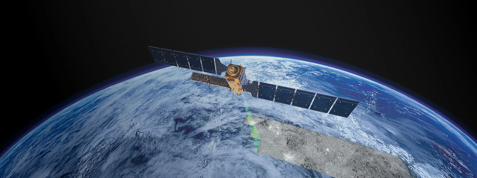

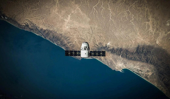
Gulfnet delivers advanced satellite imaging solutions using Very High Resolution (VHR) Earth Observation data to provide wide-area geospatial intelligence. We enable remote monitoring of large, inaccessible assets, supporting accurate, repeatable, and scalable analysis for industrial, infrastructure, and government sectors.
Traditional monitoring methods rely heavily on field teams, physical access, and localized surveys, which introduce operational and technical constraints. Large-scale infrastructure such as pipelines, remote facilities, and megaproject corridors cannot be efficiently monitored using conventional approaches.
These limitations include restricted coverage, high mobilisation cost, safety risks, and inconsistent data collection intervals.
Gulfnet’s satellite imaging provides a fully remote alternative. By capturing high-resolution imagery over vast areas in a single acquisition, we enable early detection of terrain changes, encroachment, and asset conditions without interrupting operations or deploying personnel on-site.
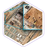
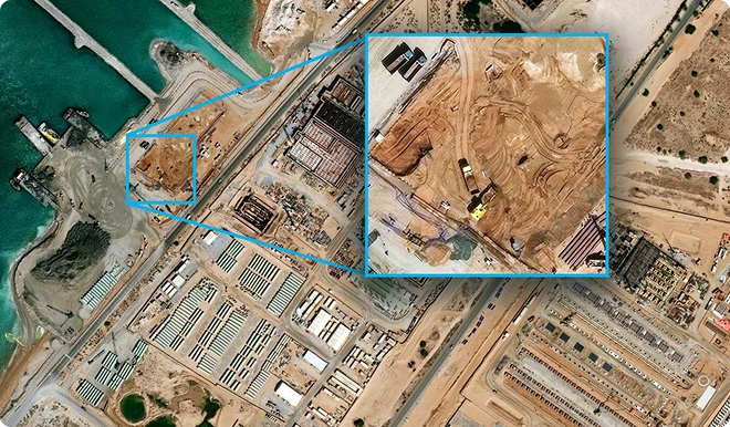
We provide high-resolution 2D satellite imagery for wide-area mapping, monitoring, and analysis using single-pass acquisition.
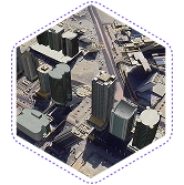
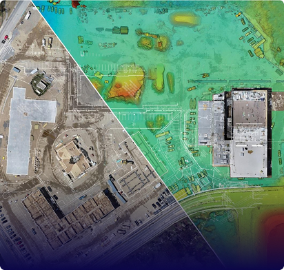
We generate accurate 3D terrain and surface models using stereo and tri-stereo satellite acquisitions.
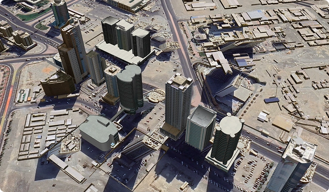
Gulfnet’s satellite imaging combines high-resolution imagery with advanced processing techniques to deliver reliable and actionable geospatial intelligence. All outputs are structured and delivered in industry-standard formats suitable for engineering, GIS, and planning applications.
Share your asset location and monitoring requirements to receive a tailored satellite imaging scope and delivery plan.
Satellite data acquisition timelines depend on satellite availability, weather conditions over the target area, and task priority. In most cases, data can be obtained within hours to a few days of tasking — significantly faster than mobilising and executing large-scale ground surveys. Repeat acquisitions for ongoing monitoring can be scheduled at defined intervals.
No. Satellite imaging is fully remote and does not interfere with ongoing site operations, industrial processes, or active construction activities. There is no requirement for any on-site presence, access restrictions, or operational scheduling adjustments.
Current Very High Resolution (VHR) commercial satellites deliver native positional accuracy of 3.5–5 m CE90 without ground control. With Ground Control Point (GCP) integration (typically 12–18 GCPs per km²), accuracy can be enhanced to sub-metre for 2D mapping, and vertical accuracy of less than 1.4 m LE90 is achievable for 3D elevation models.
Satellite imaging dramatically reduces the requirement for field surveys and provides significantly faster, more cost-effective wide-area coverage. However, applications requiring centimetre-level precision engineering validation — such as-built surveys of individual structures — targeted ground-based methods remain complementary. Gulfnet will advise on the optimal methodology mix during the pre-assessment phase.
Yes. This is one of the primary strengths of satellite-based Earth Observation. Satellite imaging is specifically suited to remote, inaccessible, and hazardous environments — including offshore platforms, desert installations, active conflict-adjacent zones, and chemically or radiologically sensitive sites — as zero on-site personnel presence is required.
A: All satellite data is processed through secure, access-controlled systems and delivered in formats suitable for immediate integration into engineering, GIS, and planning workflows. Standard outputs include geo-referenced orthoimagery (GeoTIFF), DEM/DSM files, contour plans, and formal assessment reports with positional metadata.
Satellite imaging services are scoped and priced on a project basis, determined by the area of interest, required resolution, imaging mode (mono or stereo), number of acquisitions, and required output products. Gulfnet provides formal project proposals following a preassessment consultation at no obligation.
Gulfnet’s technical team conducts a structured pre-assessment based on your area of interest, required spatial resolution, accuracy targets, and preferred output type (2D imagery, 3D terrain model, or both). Following this assessment, we recommend the optimal imaging approach — mono, stereo, or a combination — and provide a detailed technical and commercial proposal.
Request our capabilities deck and platform walkthrough to see reporting and workflows.