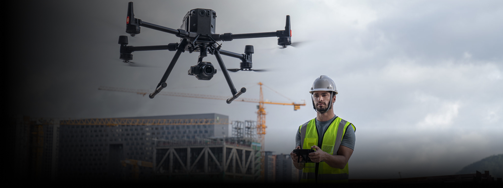

Gulfnet provides drone-based monitoring and documentation services that give project teams clear, up-to-date visibility of sites, assets, and ongoing works, supporting informed decisions, transparent reporting, and accurate records across construction, infrastructure, and industrial projects.
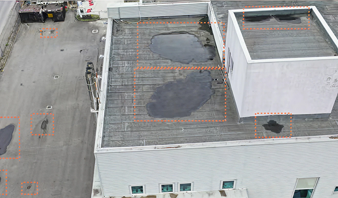
Conventional site monitoring is often based on manual inspection, reporting and ground-level photography. These methods offer poor visibility, are hard to repeat uniformly and may overlook changes for large or complex sites.
Gulfnet’s drone-based monitoring strategy provides comprehensive aerial perspectives and repeatable datasets and documentation – enabling stakeholders to make informed decisions on progress and conditions with confidence.
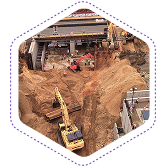
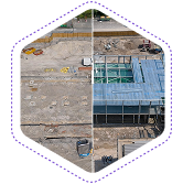
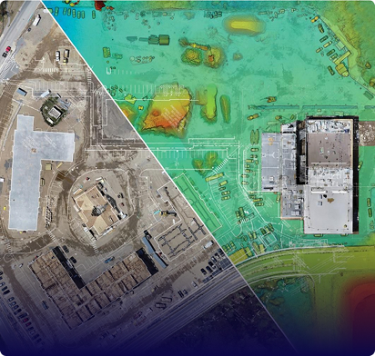
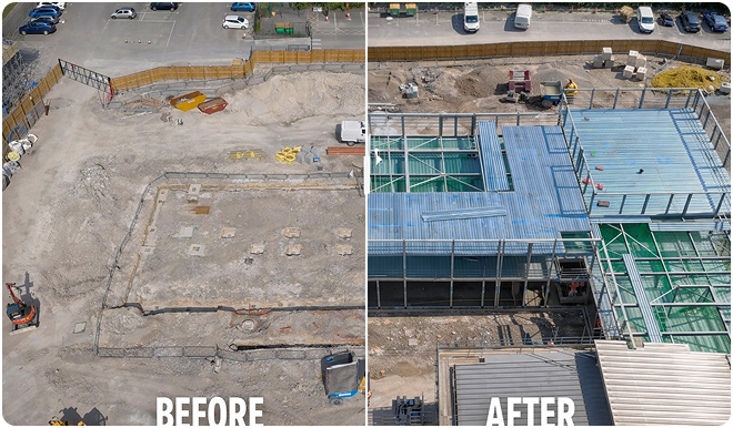
We assist the construction and EPC teams with regular aerial monitoring to monitor the progress of the project over time.
Periodic site surveys aligned with project milestones
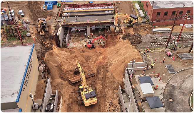
Our services include visual and measurement-based knowledge of site development and material movement.
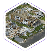
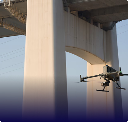
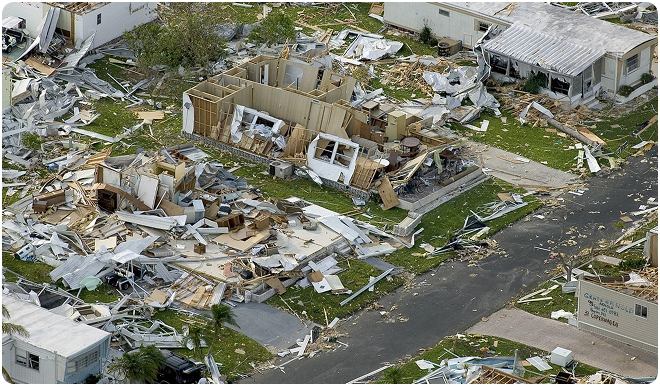
Gulfnet conducts fast aerial evaluations after events to report damages and aid decision making.
Safe inspection of affected areas without site access risks
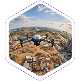
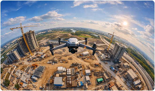
We capture immersive panoramic imagery to provide comprehensive site context and remote visibility.
Share your project requirements. We’ll deploy UAV-based monitoring and structured reporting tailored to your operational needs.
Drones help monitor large project sites in UAE by providing consistent aerial coverage that captures every section of a site in a single flight. Unlike ground-level walkthroughs, drone monitoring delivers high-resolution imagery and georeferenced data that allow teams to track progress, identify discrepancies, and compare conditions across reporting cycles. This approach is especially effective for expansive construction, infrastructure, and industrial developments where manual monitoring falls short. Gulfnet deploys scheduled drone flights tailored to project timelines, giving stakeholders reliable visual records and actionable data without interrupting ongoing site operations.
LiDAR is more suitable for areas with dense vegetation, complex terrain, or areas where there is limited visibility of the ground. Photogrammetry is suitable for open areas and surface mapping. The choice of which one to use depends on the site conditions and project requirements.
Gulfnet Emirates offers drone documentation for construction and industrial projects in GCC, delivering structured aerial records that support progress tracking, quality assurance, and stakeholder reporting. Their documentation services include high-resolution orthomosaics, time-stamped visual comparisons, and georeferenced datasets compatible with engineering and project management workflows. Each deliverable is tailored to the project type, whether it involves large-scale construction developments, oil and gas facilities, or infrastructure expansions across the Gulf region. Gulfnet coordinates with on-site teams to ensure documentation aligns with project milestones and compliance requirements.
>
Data acquisition is normally accomplished in a matter of hours, depending on the size and complexity of sites. Processing and final deliverables are done as per agreed schedule based on project scope and data requirement.
Drone-based site monitoring services in UAE involve scheduled aerial flights over active project sites to capture visual and spatial data at regular intervals. These services help construction, infrastructure, and industrial teams track site conditions, verify progress against timelines, and create consistent records for reporting. Gulfnet provides this as a managed service, handling flight planning, data capture, and deliverable preparation so that project managers receive ready-to-use monitoring outputs. The approach reduces the need for frequent manual inspections while offering a broader, more accurate view of site developments over time.
Drone services for progress reports and site documentation in UAE include periodic aerial surveys, orthomosaic generation, visual comparison reports, and 360-degree panoramic captures. Gulfnet structures these services around each project’s reporting schedule, producing deliverables in formats compatible with CAD, GIS, and standard project management tools. Progress reports typically include annotated imagery, timeline comparisons, and quantity tracking data that help teams communicate site status to clients, contractors, and stakeholders. Every output is designed to serve as a reliable, auditable record of project development.
Real-time project monitoring using drones in Dubai involves deploying UAVs over active sites to capture live aerial imagery and spatial data that teams can review immediately. Gulfnet schedules drone flights to align with critical project phases, enabling rapid assessment of site conditions, earthwork progress, and material placement. The captured data is processed quickly and shared with project stakeholders through structured reports and visual dashboards. This reduces the delay between site activity and informed decision-making, making it particularly valuable for fast-paced construction and infrastructure projects operating under tight deadlines in Dubai.
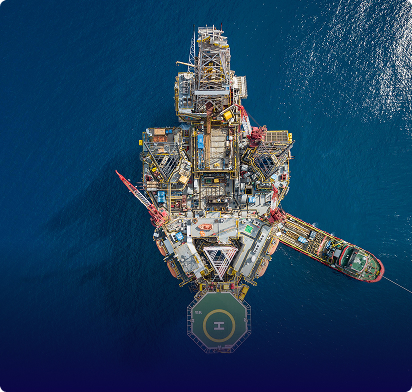
Aerial monitoring and reporting services in the Middle East use drones equipped with high-resolution cameras and sensors to document ongoing projects from above. Gulfnet provides these services across the region, covering construction, oil and gas, infrastructure, and renewable energy sectors. Each monitoring cycle generates structured visual reports that include site comparisons, annotated imagery, and progress documentation. These reports are tailored to the client’s operational needs and can support internal reviews, regulatory compliance, and investor communications. The service is designed to replace inconsistent manual reporting with reliable, repeatable aerial documentation.
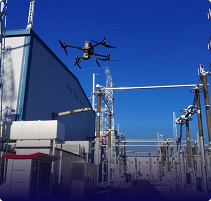
Automated site documentation with drones in GCC involves pre-programmed flight paths that capture consistent aerial data across every survey cycle without manual piloting variability. Gulfnet uses waypoint-based automation to ensure the same coverage area, altitude, and overlap settings are maintained each time, producing datasets that are directly comparable over weeks or months. This method eliminates gaps in documentation, reduces human error, and speeds up data collection on large or complex sites. The resulting imagery and models serve as structured, time-stamped records for project teams managing construction or industrial operations across the Gulf.
Gulfnet Emirates is a drone monitoring company that handles ongoing projects in UAE, providing scheduled aerial surveys and structured documentation for construction, infrastructure, and industrial developments. Their service model is built around recurring site visits aligned with project milestones, so teams receive consistent data throughout the project lifecycle rather than one-time snapshots. Gulfnet manages the full workflow from flight planning and regulatory coordination to data processing and report delivery. This turnkey approach allows project managers and stakeholders to maintain continuous visibility over site progress without diverting internal resources to drone operations.