
Precision drone topographic survey solutions supporting construction, infrastructure, and land development projects across the UAE, Saudi Arabia, and the wider GCC region.

Ground-based topographic surveys have long been the default across the GCC, but they carry real costs. Crews spend days walking rugged sites, working near active traffic, unstable slopes, or hot industrial zones, and still return with sparse point data that misses subtle terrain features. Schedules slip, safety exposure climbs, and design teams end up working with gaps that only surface once excavation begins.
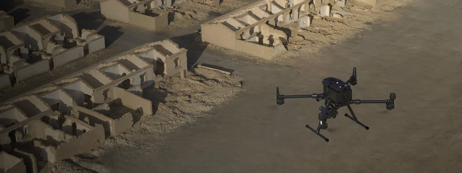
Drone-based surveying flips this equation. A single flight captures millions of georeferenced points in a fraction of the time, delivering dense elevation datasets, orthomosaics, and contour maps ready for engineering use. Our drone land surveying services cover sites that once required a full week of fieldwork in a single morning, with no crew standing in harm’s way and no room for interpretation gaps in the final data.
Gulfnet brings this shift to projects across the UAE, Saudi Arabia, and the wider GCC. Our GCAA-certified pilots, licensed sensors, and in-house processing team deliver aerial topography surveying services trusted by construction, infrastructure, energy, and land development clients throughout the region.
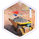
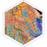
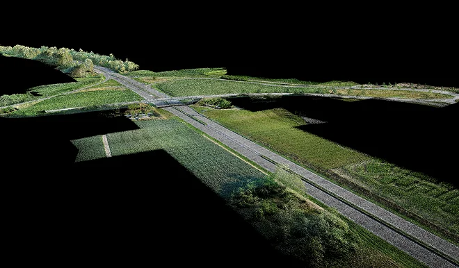
High-resolution aerial elevation mapping capturing precise terrain heights for engineering design and planning.
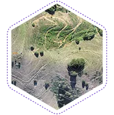
Detailed contour mapping services showing terrain relief for drainage, grading, and earthworks planning.
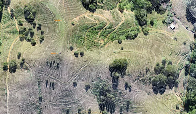
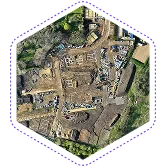
High-resolution orthomosaic mapping services delivering geometrically corrected aerial imagery for accurate site visualization and measurement.
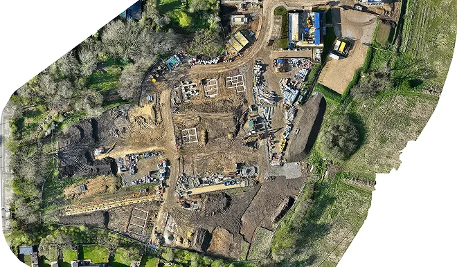
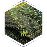
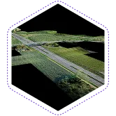
Aerial terrain mapping producing detailed 3D models of natural and built landscapes.
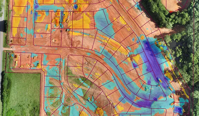
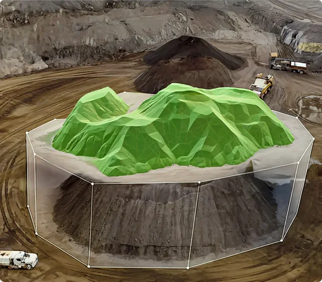
Topographic survey for construction sites, tracking earthworks progress, cut-fill volumes, and grading accuracy.
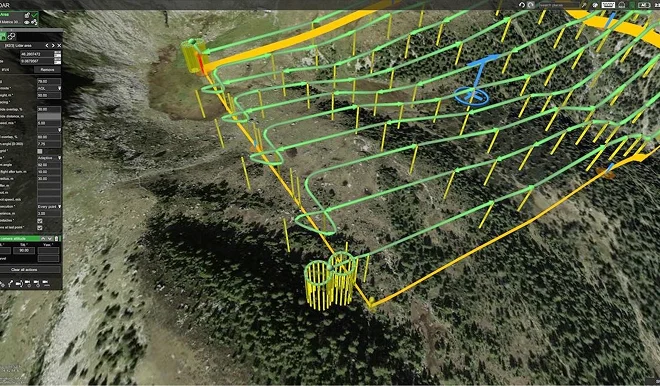
Topographic surveying for infrastructure projects including roads, pipelines, transmission lines, and rail corridors.
Inspection flights capture the data. Gulfnet Insight® delivers the answers.
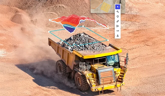
Every drone deployment captures thousands of high-resolution images, videos, thermal frames, and sensor readings. On its own, that volume of raw data can overwhelm even experienced engineering teams. Gulfnet Insight® turns it into something you can actually use. Our cloud-based platform brings every visual, measurement, GPS coordinate, and inspection note into one centralized and secure workspace, structured for fast review rather than endless scrolling.
From there, the platform does the heavy lifting. Defects are automatically categorized by type and severity, anomalies are flagged for engineering attention, and recurring patterns surface across successive inspection cycles so your team can act on trends rather than isolated incidents. When a formal report is needed for internal engineering review, insurer sign-off, or regulatory compliance, Gulfnet Insight generates it in minutes rather than days, complete with annotations, timestamps, and traceable evidence.
Share your inspection challenges with us. We'll build a drone-based solution that works around your operations.

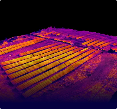
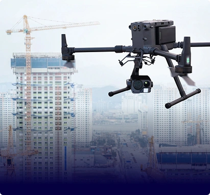

Aerial topography surveying services use drones equipped with RTK-enabled sensors and photogrammetry cameras to capture terrain data from above. A drone topographic survey records thousands of georeferenced points across a site, producing accurate elevation models, contour lines, and orthomosaic maps. This approach delivers faster turnaround, richer detail, and safer operations than manual ground methods, making it well suited for construction, infrastructure, mining, and land development projects.
Modern drone topographic survey workflows using RTK GNSS and ground control points deliver vertical accuracies down to two centimetres and horizontal accuracies within one centimetre on well-planned missions. Aerial elevation mapping at this precision meets engineering-grade requirements for road design, drainage, grading, and earthworks. Our teams calibrate every mission to the project coordinate system and independently verify results against control points before releasing deliverables.
Yes. Drone survey for site planning is fully regulated and approved in the UAE, provided the operator holds valid GCAA authorisation and follows site-specific flight approvals. Our pilot teams are GCAA-certified and manage all permitting, no-fly zone coordination, and airspace requests on behalf of clients. This ensures every topographic survey in UAE airspace is compliant, insured, and executed without regulatory delays or safety risks.
A topographic survey for construction sets the baseline for every design, cost estimate, and earthworks plan. Using drones, crews can survey a twenty-hectare site in a single morning, compared to several days with total stations. Faster data means faster design approvals, quicker mobilisation, and fewer surprises during excavation. Any topographic survey in UAE benefits from this efficiency, and our contour mapping services also support ongoing progress checks without pausing site activity.
Land surveying with drones produces a wide range of engineering-ready outputs. Standard deliverables include high-resolution orthomosaic maps, digital elevation models, digital surface models, 3D point clouds, contour drawings, and volumetric reports. Aerial terrain mapping outputs are supplied in formats compatible with AutoCAD, Civil 3D, ArcGIS, and BIM platforms. Our drone land surveying services also include site-specific reports summarising key measurements, coordinate references, and quality control notes for internal review.
Absolutely. Drone topography survey in Dubai is well suited to major infrastructure work including roads, metro lines, utility corridors, and port developments. Our teams handle topographic surveying for infrastructure projects across the Emirates and wider GCC, covering long linear routes and complex urban environments efficiently. Multi-drone deployments, RTK base stations, and specialist LiDAR sensors allow us to complete large-scale surveys quickly while maintaining engineering accuracy. Deliverables integrate directly into contractor design workflows.