
Deliver survey-grade aerial mapping services that reduce site risk, accelerate project timelines, and support infrastructure decisions across the UAE and wider Gulf region.
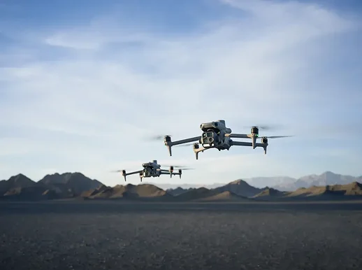
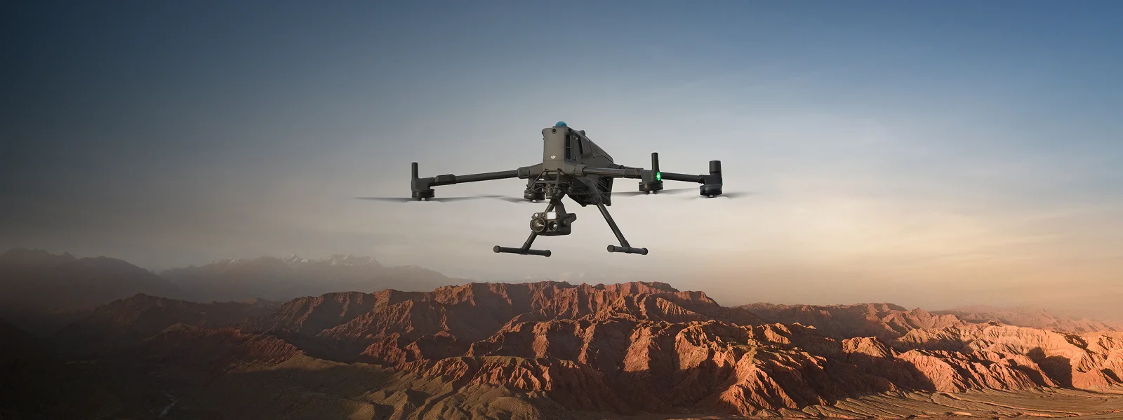
Traditional survey crews slow projects down. Ground teams battle heat, dust, blind spots, and restricted access on live infrastructure, which stretches timelines and inflates safety exposure. Our drone mapping services replace that friction with rapid aerial capture, delivering centimetre-level accuracy across hundreds of hectares in a single mobilisation. Sites keep running, personnel stay out of hazard zones, and decision-makers get usable data within days rather than weeks. GCAA-compliant pilots have delivered drone mapping in UAE for oil and gas, utilities, construction, and industrial clients, backed by processing workflows built for GCC conditions.
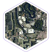
High-resolution image capture converted into accurate 2D and 3D drone mapping outputs for planning.
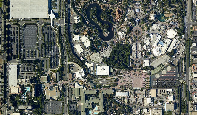
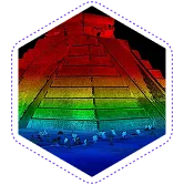
Laser-based LiDAR mapping services penetrate vegetation and capture dense eliminating terrain data for complex site conditions.
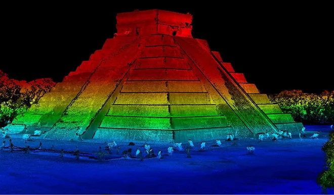
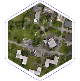
Orthomosaic mapping services deliver stitched, geo-referenced aerial images ready for planning, permitting, and stakeholder reviews.
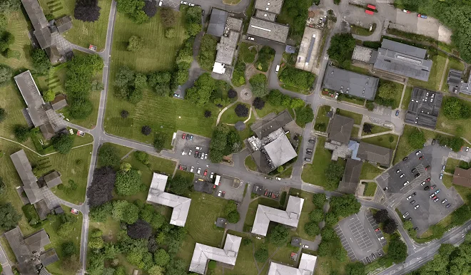
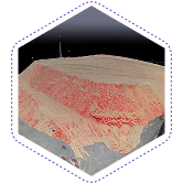
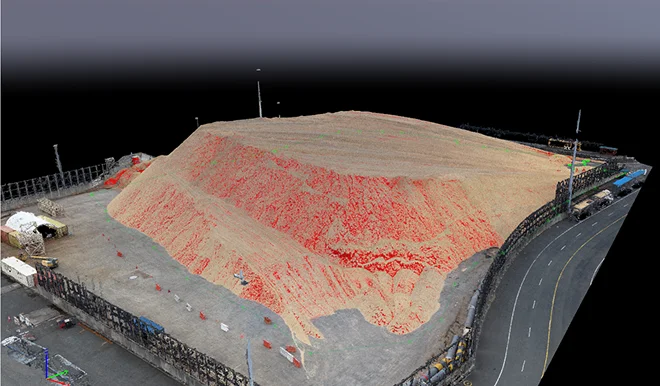
Volumetric mapping services measure stockpiles, cut-and-fill, and earthworks with audit-ready accuracy across active work sites.
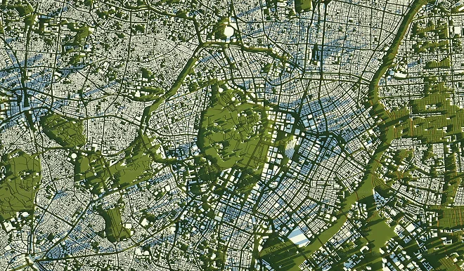
GIS drone mapping services convert aerial data into structured layers for infrastructure and utility teams.
Inspection flights capture the data. Gulfnet Insight® delivers the answers.
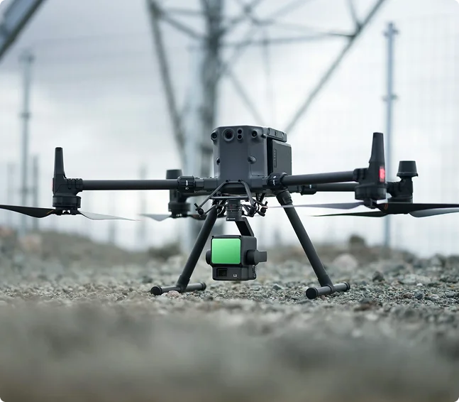
We built Gulfnet Insight® because raw drone data alone does not run a project. Our pipelines ingest everything our crews capture in the field, raw imagery, drone photogrammetry services outputs, LiDAR point clouds, orthomosaics, thermal frames, and sensor logs, and route them through processing workflows we standardise across mission planning, photogrammetry, LiDAR processing, and advanced analytics. We publish the results as measurable 2D maps, 3D models, volumetric reports, and GIS-ready layers, so every discipline on the project reads the same numbers.
Cloud-based access lets our clients and their stakeholders in Dubai, Abu Dhabi, Riyadh, or Doha review deliverables from any device without waiting on file transfers. We integrate the platform with existing enterprise GIS and asset systems, so the intelligence we produce lands inside the tools engineering and operations teams already use. Our deploy-capture-process-act workflow is tuned for GCC infrastructure, construction, oil and gas, utilities, and renewables programmes where decisions cannot wait on manual reporting cycles. Every deliverable we release follows the same standardised format, so field crews, project managers, and asset owners all reference the same source of truth.
Share your inspection challenges with us. We'll build a drone-based solution that works around your operations.

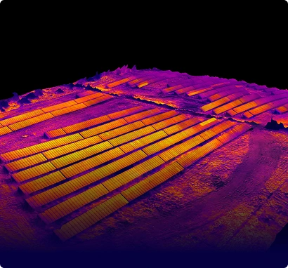
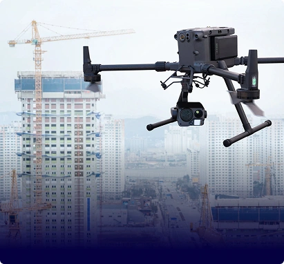
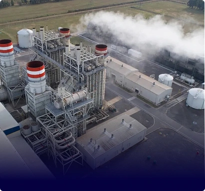
Our drone mapping services deliver survey-grade accuracy of two to five centimetres for orthomosaic outputs and one to three centimetres for LiDAR mapping services. Ground control points, RTK positioning, and calibrated sensors handle desert glare, dust, and heat. Every dataset undergoes quality checks before release, so your engineering, GIS, and planning teams work from reliable, audit-ready coordinates.
For most drone mapping services in Dubai, our teams mobilise within two to four working days after site briefing and approvals. Urgent requests can be handled sooner where airspace clearance permits. We manage GCAA notifications, no-fly zone checks, and coordination with your safety officer, so your project schedule stays on track from day one.
Every 2D and 3D drone mapping engagement includes orthomosaic maps, digital elevation models, textured 3D meshes, contour lines, and point cloud files. Depending on scope, we add volumetric mapping services reports, GIS-ready shapefiles, and inspection annotations. Outputs are delivered in formats your CAD, BIM, or GIS teams already use, avoiding rework across software environments.
Yes. We support drone mapping for infrastructure projects across UAE, Saudi Arabia, Oman, Qatar, Bahrain, and Kuwait. Typical scopes include road corridors, transmission networks, water pipelines, port expansions, and industrial parks. Teams combine orthomosaic mapping services, LiDAR, and GIS drone mapping services so contractors, EPCs, and asset owners get consistent site intelligence from tender through commissioning.
Our high-resolution aerial mapping combines enterprise drones, calibrated payloads, and flight planning tuned for GCC terrain. Sensors capture ground sampling distances as fine as one centimetre per pixel, so refineries, logistics parks, and mega-projects are covered in a single mobilisation. Data is processed through Gulfnet Insight for measurement, comparison, and reporting your teams can share instantly.
Aerial mapping services capture up to fifty times more data than a ground crew in the same window, with fewer personnel on site. For drone mapping in UAE conditions, this reduces heat exposure, security escort needs, and shutdown windows. Traditional surveys still play a role for verification, but drone-led capture is now the default for speed, safety, and cost on large or sensitive sites.