
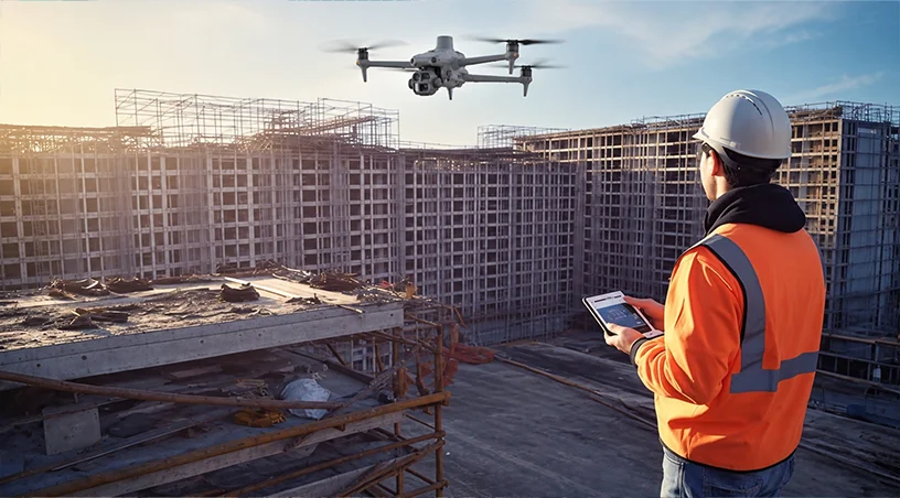
If you are running delivery on a UAE mega-project right now, your problem is not whether to build. That was decided above you. Your problem is how to hold a compressed programme together while investors, boards, and regulators want more evidence, more often, that the work is real, safe, and on track.
This blog sets out a practical way to think about that pressure and how aerial inspection, monitoring, and survey-grade measurement are being used to absorb it on active UAE sites.
The context is impossible to ignore. According to AGBI, the UAE energy minister has confirmed that Abu Dhabi alone is advancing $57 billion of infrastructure across 500 projects, with the ambition to build in four to six years what was built in the previous fifty. Add Dubai’s Gold Line metro, the Al Maktoum Airport expansion, Palm Jebel Ali, Etihad Rail, the Guggenheim, and the Sphere, and the concurrent delivery load on contractors and asset owners is unlike anything the region has seen.
Delivery leaders on these programmes are absorbing three pressure curves at the same time.
The first is an acceleration curve. Schedules that would have run six or seven years are being compressed into three or four, and float has been squeezed out of almost every trade sequence.
The second is a scrutiny curve. Because these projects are being positioned publicly as evidence of long-term confidence, investors, JV partners, financiers, and government stakeholders want visible, dated proof of progress and quality far more frequently than the traditional monthly report allows.
The third is a concurrency curve. With hundreds of projects running in parallel, the same subcontractor pools, survey crews, and inspection teams are being pulled across sites, which raises the risk of inconsistent data capture and reconciliation disputes between packages.
Traditional site inspection methods, rope access, scaffolding, ground survey walks, and manual photo logs, were not designed to hold up under all three at once. This is where enterprise drone, robotics, and AI capability is quietly becoming the operational backbone of UAE mega-project delivery.
The acceleration curve punishes any inspection method that requires the work face to stop. Every scaffold erection, every rope crew mobilisation, every crane stand-down for a manual inspection is time the programme cannot spare. Hours of avoidable downtime multiply across dozens of concurrent work fronts into weeks of slippage.
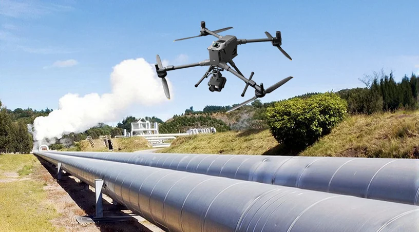
Aerial inspection removes that penalty. High-resolution visual and thermal capture of facades, curtain walls, high-level MEP runs, and structural steel can be flown around active work rather than through a shutdown of it. Defects are geo-tagged the same day and closed inside the current lookahead rather than the next monthly cycle. On rail alignments, port expansions, and tall-building envelopes, that is the difference between catching a rework issue while formwork is still adjacent and catching it after handover of the following floor.
The safety story matters commercially too. Removing personnel from height and confined space work removes the permit delays, exclusion zones, and stop-work events that quietly erode a compressed programme every week.
Also Read: Construction Progress Monitoring ROI: How Drone Surveys Pay Back on UAE Projects
The scrutiny curve is the one most under-appreciated by site teams. When a mega-project is being used publicly to signal confidence in the market, the reporting burden shifts. Boards, financiers, and government reviewers do not want narrative updates. They want dated, geo-referenced visual evidence they can audit against the programme, and they want it in a format that survives handovers between contractors and consultants over a multi-year build.
This is why disciplined monitoring and documentation, meaning repeatable UAV flights on fixed paths, orthomosaic outputs, and time-sequenced imagery organised by project location on a single platform, has moved from “nice to have” to a governance requirement on flagship UAE projects. It gives the owner a single source of truth for schedule verification, dispute resolution, and stakeholder reporting, and it does so without requiring the site to be interrupted for the capture.
McKinsey’s 2022 review of more than 500 large capital projects, referenced in its Seize the decade analysis, found average cost overruns of 79 percent and schedule delays of 52 percent, with megaprojects making up 62 percent of the sample. Independent, timestamped visual evidence is one of the few tools that meaningfully reduces the claims and change-order friction that drives those numbers.
The concurrency curve breaks trust between packages. When ten contractors on one site each carry their own survey data, stockpile counts, and progress photos, monthly reconciliation turns into a negotiation rather than a measurement. Multiply that across a portfolio of 500 projects competing for the same survey crews, and measurement disputes at valuation time become structural.
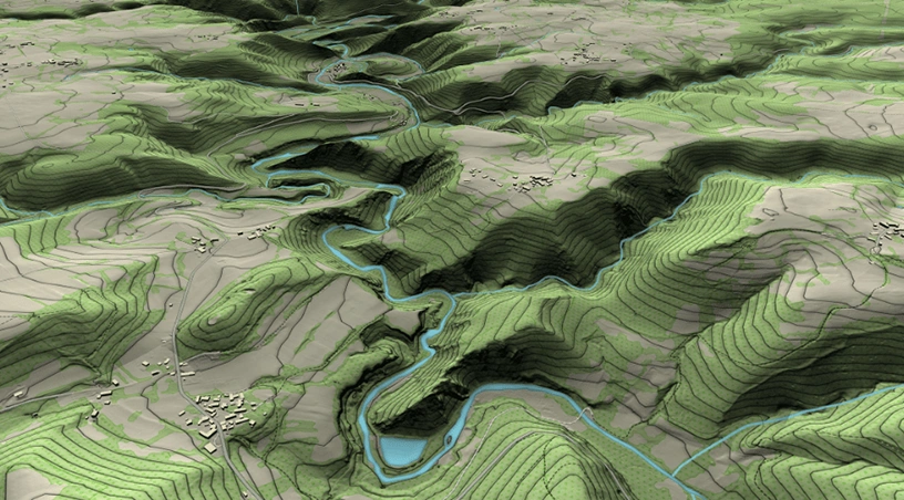
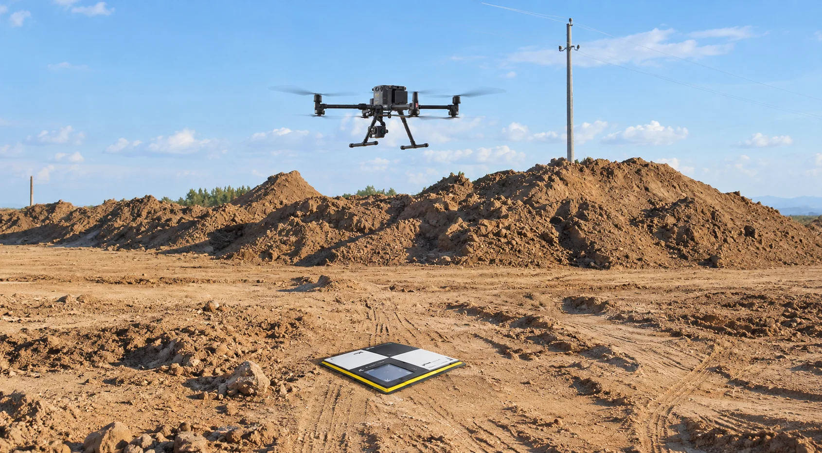
Drone-based photogrammetry and LiDAR change the underlying question. When earthworks volumes, as-built terrain, stockpile inventories, and layout deviations are captured from the air using ground control points, every package measures against the same dataset, processed the same way, delivered on the same cadence. Point clouds, digital elevation models, and orthomosaics become the neutral reference that valuation, planning, and QA teams all draw from. That shared spatial truth is what keeps interim valuations, progress claims, and as-built handovers defensible, which is why purpose-built construction drone services are increasingly written into scopes of work at tender stage rather than added reactively once disputes appear.
Related: Marsa Al Saadiyat Megaproject Monitoring: How Drone Surveys Support Aldar’s Saadiyat Island Development
The three pressure curves, acceleration, scrutiny, and concurrency, are the operating environment for the rest of this build cycle. What separates the programmes that will hold their schedule and their investor narrative from those that will slip is not a bigger inspection budget. It is a delivery model in which aerial capture, structured documentation, and survey-grade measurement are treated as core project controls rather than one-off requests, so that every package, valuation, and board update draws from the same dated, auditable, spatially accurate record.
Gulfnet Emirates supports UAE mega-project owners, EPC contractors, and developers with GCAA-certified aerial inspection, construction monitoring and documentation, and survey-grade mapping and measurement across the full build cycle. Our team can help you design an inspection and monitoring programme that holds up under acceleration, scrutiny, and concurrency at the same time. Contact Gulfnet to scope your programme.
How do drone inspections fit into a compressed UAE mega-project schedule without disrupting work?
Aerial capture is flown around live activity on pre-planned paths, coordinated with site teams to avoid crane, lift, and concrete-pour windows. There is no scaffold erection, no rope access mobilisation, and no work-face shutdown, which means inspection findings arrive inside the current lookahead rather than delaying it.
What deliverables do UAE mega-project owners typically receive from a drone monitoring programme?
Standard outputs include high-resolution orthomosaics, time-sequenced site imagery, geo-tagged defect logs, volumetric measurements, point clouds, and digital elevation models. These are delivered through a centralised platform that supports schedule verification, valuation reconciliation, and investor-grade reporting across the life of the project.
Are drone inspections on major UAE construction and infrastructure sites GCAA compliant?
Yes. Reputable providers operate under approved GCAA authorisations, with pilots individually certified and every flight covered by client permit-to-work, site-owner approval, and emirate-level clearances where applicable. Documentation of authorisations and flight logs is provided as part of the standard deliverable pack.
How accurate is drone-based measurement for progress billing and as-built validation?
When photogrammetry or LiDAR is flown with properly placed ground control points, volumetric accuracy typically falls within one to three percent. That level of precision is defensible for interim valuations, stockpile reconciliation, earthworks progress claims, and as-built comparison against design models on active mega-project sites.
How often should aerial monitoring flights be scheduled on a UAE mega-project?
Frequency depends on schedule intensity and reporting cadence. Vertical builds and infrastructure alignments often run weekly or fortnightly capture during peak activity, moving to monthly at slower phases. The cadence is set jointly with the delivery team so that outputs align with valuation, board, and stakeholder reporting cycles.
 Go back
