
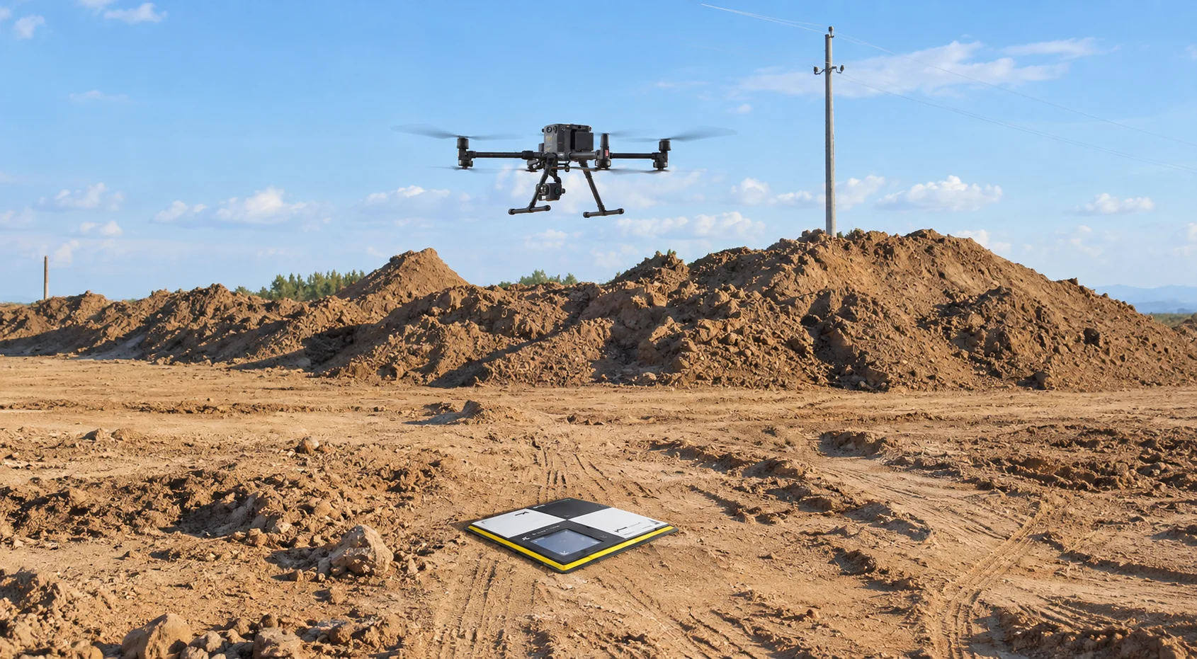
A UAE project site can end up being surveyed three times for three different reasons. A ground crew captures the topography. A photographer returns for progress imagery. Then a quantity surveyor is sent back when BOQ volumes do not match site conditions.
By the time those three sets of information reach the project team, the ground may already have changed.
Drone mapping changes that workflow. A single planned flight can capture the source data for orthomosaics, terrain models, GIS layers, point clouds, and volumetric analysis, giving multiple teams a consistent view of the same site.
Project controls teams tend to run into the same four problems.
A well-planned drone mapping mission addresses all four in one sortie. Integrated site data capture is one of the highest-return moves a project team can make.
The flight itself is only the capture stage. The real operational value comes from what teams can produce from that dataset.
For a broader look at how aerial workflows are being used on live UAE programmes, our earlier piece on drone-based monitoring across the region provides additional context.
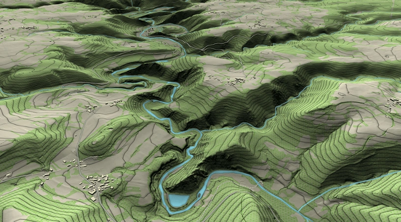
One capture, processed correctly, can produce several project-ready outputs:
This is where a single-flight approach becomes commercially useful. The project does not need separate missions for separate outputs. Multiple deliverables can be generated from the same underlying capture.
An orthomosaic may look like a photograph, but it is built to function as a map. With the right ground control and processing, teams can use it for accurate measurement rather than visual reference alone.
On active UAE projects, that has several practical uses. Design teams can compare current ground conditions with drawings to identify coordination issues. Project controls teams can verify physical progress against the programme. Commercial and legal teams can refer to a dated site record when access, laydown areas, or encroachment are disputed.
Its value comes from giving different teams the same spatial reference.
That depends on GCAA-compliant flight planning, calibrated payloads, correct ground control, and disciplined photogrammetric processing, the kind of workflow that dedicated surveying, mapping, and measurement teams build their capture protocols around. If those steps are weak, the output may still look impressive, but its value as measurement data drops quickly.
A folder full of aerial images is not yet usable GIS data. Someone still has to interpret the imagery, trace the required features, assign coordinates, and prepare the files for the project environment.
The single-flight workflow can remove much of that manual step. Extracted features can be delivered as shapefile, GeoJSON, or DWG in the client coordinate system. Road centrelines, drainage routes, utility corridors, and asset footprints can then move directly into platforms such as Esri, Autodesk, or Bentley.
An analytics layer can extend the usefulness of that data between flights. Platforms such as Gulfnet Insight can host mapping layers, retain version history, and highlight site changes, allowing teams to compare captures instead of treating every survey as an isolated file.
Not every project needs centimetre-level precision. Specifying it where it is unnecessary increases cost without improving the decision being made.
There are, however, situations where it matters.
Earthworks reconciliation needs reliable cut and fill measurements when volumes influence payment. Boundary and easement work can depend on small positional differences. Stockpile and inventory audits need dependable volume calculations. Infrastructure handover may also require defined as-built accuracy under the contract.
Reaching that standard depends on RTK or PPK positioning, ground control points placed appropriately across the site, and calibrated payloads.
This discipline is what separates operators who deliver imagery from teams who deliver evidence.
Our earlier work on how surveying workflows shape UAE megaproject delivery looks more closely at the ground control side of the process.
The value changes depending on what the project team needs from the data.
Construction and infrastructure teams can move from occasional surveys to weekly or fortnightly captures, allowing site information to follow the reporting cycle more closely.
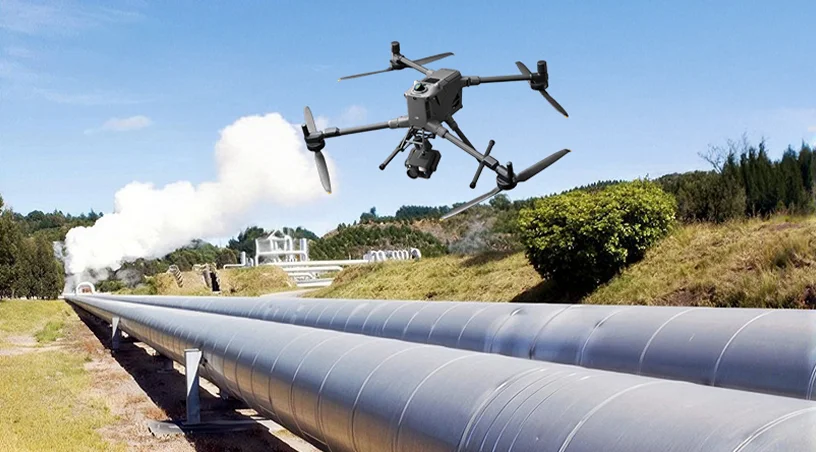
Oil, gas, and marine operators can map pipeline corridors, tank farms, and jetty areas while reducing the need to place survey crews inside active plant environments.
Renewables and utilities projects can use the same workflow for solar site preparation, substation plots, and cable route corridors.
Land and real estate teams can use mapped data for plot boundaries, plot ratios, and access studies where reliable geometry is important to planning or dispute resolution.
Across these sectors, the advantage is not simply that drones capture sites faster. It is that one coordinated dataset can serve several teams without sending separate crews back to collect much of the same ground information again.
Traditional site surveying becomes expensive when repeated mobilisation, disconnected deliverables, outdated information, and manual integration start stacking up.
A single mapping flight tackles those problems at the data-capture stage. Orthomosaics, terrain models, GIS layers, and survey-grade point clouds can all originate from the same site record, giving project teams fewer datasets to reconcile and a more consistent basis for measurement, reporting, and decision-making.
Gulfnet Emirates runs GCAA-certified pilot teams and delivers Surveying, Mapping and Measurement services across the UAE, backed by the Gulfnet Insight platform for hosting and analysing the data. To scope a single-flight mapping programme for your project, speak to the Gulfnet Enterprise Drones, Robotics and AI-Powered Solutions team at gulfnetemirates.com/dronesandrobotics.
How much does a drone mapping survey cost in the UAE?
Pricing depends on the site area, required deliverables, and accuracy level. A single flight can produce several outputs from the same capture, reducing the need to mobilise separate teams for individual survey requirements. Recurring programmes can also reduce the cost per capture when surveys are scheduled throughout the project.
How accurate is drone mapping compared to a traditional survey?
With RTK or PPK positioning, properly placed ground control points, calibrated equipment, and appropriate processing, drone mapping can produce centimetre-level outputs. The required accuracy should be defined according to the intended use, particularly for contractual measurement, volumetrics, boundaries, or as-built documentation.
Can drone mapping outputs plug into our existing GIS or BIM system?
Yes. Deliverables can be prepared in the client coordinate system and in formats used by Esri, Autodesk, Bentley, and standard BIM environments, including shapefile, GeoJSON, DWG, LAS, and orthomosaic GeoTIFF. Output requirements should be agreed before capture so the data fits the existing project workflow.
How often should a construction site be mapped for progress monitoring?
The right frequency depends on the pace of work and the reporting cycle. Fortnightly or monthly capture may suit general construction monitoring, while fast-moving earthworks or critical packages may require weekly mapping. The schedule should follow the decisions the data needs to support rather than a fixed survey interval.
Do UAE drone mapping projects require GCAA approvals?
Commercial drone operations in UAE airspace require the applicable authorisations, operator requirements, and site-specific approvals. Providers should account for the necessary regulatory and flight-planning requirements during mobilisation before aerial data collection begins.

 Go back
