If your public safety teams are still relying on on-ground intelligence and manual communication to respond to incidents across vast cityscapes, industrial zones, or remote terrain – you already know the gap. Critical minutes are lost waiting for situational clarity. Incident commanders make resource decisions based on fragmented radio updates rather than verified aerial intelligence.
In an environment where drones and missiles have been used to target critical infrastructure, airports and cities in the GCC since late February 2026, the operational pressure on public safety agencies has intensified beyond what legacy systems were designed to handle. This is not a future challenge. It is happening now.
This blog walks through the specific pain points emergency management teams and first responder units across the UAE are facing – and how enterprise drone and robotics solutions are delivering real-time data and insights with unmatched speed and accuracy.
The UAE’s emergency management infrastructure is among the most advanced in the region. But the current security environment has exposed limitations that even well-resourced agencies struggle to overcome with conventional tools alone.
Consider the sequence following a missile intercept or drone debris impact in an urban area. Ground teams must examine structural integrity, locate survivors, assess hazards, and establish a perimeter – often across multiple sites simultaneously. Traffic congestion, debris fields, and restricted access zones delay response vehicles. By the time incident commanders have a clear picture, the window for optimal intervention has narrowed significantly.
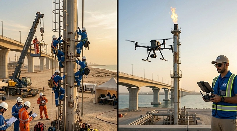
In industrial areas, where oil and gas installations, power and water treatment plants are valuable targets and critical lifelines, the problem is magnified. A single facility may span several square kilometres, with confined spaces and hazardous materials that make rapid human assessment dangerous and slow. In remote and coastal areas, search and rescue efforts can take several hours to find a person or drive to a location for assessment.
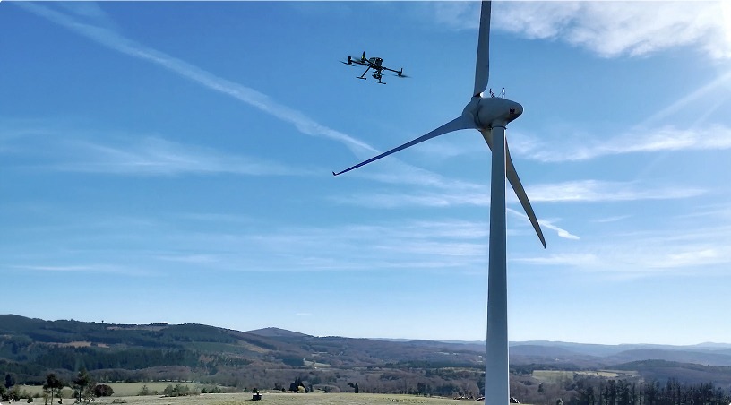
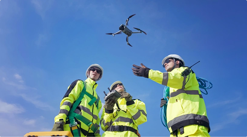
The first and most obvious benefit of drone technology for emergency management is speed to clarity. A commercial-grade UAV can take to the skies in minutes after an incident is reported, and broadcast live high-definition and thermal video feeds directly to a command centre or a mobile device in the field.
For incident commanders, this changes the decision-making process fundamentally. Instead of dispatching an advance team and waiting for their radio report, the commander sees the scene in real time. Structural damage is visible. Heat signatures from fires or trapped individuals are identified through thermal imaging. The extent of a debris field is mapped. Access routes and hazards are flagged before a single responder enters the zone.
In real life, this has shortened initial scene assessment from 30-45 minutes to less than 10 minutes in recorded emergency incidents in the region. When the situation is multi-site, as has been the case during recent regional attacks, the ability to simultaneously deploy multiple drones and provide integrated intelligence to a single command dashboard becomes the difference between coordinated response and operational chaos.
Standard visual cameras are only part of the picture. In emergency scenarios involving fires, hazardous material releases, or post-strike structural assessments, thermal and multispectral sensor payloads provide intelligence that is simply unavailable from ground level.
Thermal imaging drones “see” heat through smoke, dust and darkness. In a collapsed building, this can be used to locate trapped survivors – driving search and rescue teams directly to the area of focus, rather than undertaking time-consuming search grids. During industrial fires, thermal feeds reveal the fire’s progression path, identify hotspots behind walls or within pipe racks, and help firefighting teams position suppression resources where they will be most effective.
For chemical, gas or other hazardous material leaks, such as those resulting from damaged industrial infrastructure, specialised sensors can identify gas concentrations, dispersal patterns, and safe corridors for ground response teams. This directly reduces responder exposure to unseen hazards, a risk that increases in post-strike environments where damaged industrial infrastructure may release toxic substances without visible indicators.
A critical advancement in the use of drones for emergency response is the move from pilot-in-the-loop to pre-deployed autonomous systems. Drone-in-a-box systems, which are permanently stationed at critical infrastructure or civil defence locations, or in high-risk urban areas, can initiate autonomous patrols within seconds of an alarm.
These systems handle takeoff, data capture, landing, and recharging without human intervention. They can be set to perform routine patrols of critical facilities, or to take off as a response to an alarm or a trigger from an external system. The video stream feeds into the command centre and selected mobile devices.
This means constant aerial surveillance for public safety agencies with multiple high-value targets without the expense and complexity of having pilot crews on site 24/7.
In the current regional context, where the threat of incoming projectiles and subsequent ground-level damage assessment is ongoing, having pre-positioned aerial assets that can launch in seconds rather than the 20–40 minutes required for a crewed response provides a measurable operational advantage.
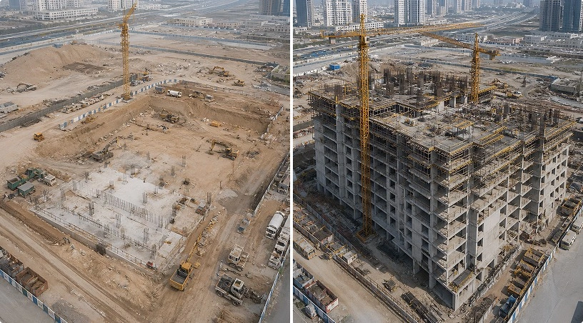
The value of drone operations extends well beyond the live feed. High-resolution imagery, thermal data, and LiDAR scans captured during and after an incident form the foundation for detailed post-event analysis, damage quantification, and recovery planning.
Advanced data processing platforms convert raw aerial data into orthomosaic maps, 3D models, volumetric measurements, and annotated damage reports. For civil defence agencies, this means precise documentation of structural damage – critical for insurance assessments, reconstruction planning, and resource allocation. For industrial operators, it means quantifying damage to specific assets and prioritising repair sequences based on verified data rather than visual estimates.
In a sustained emergency environment like the one the UAE is currently navigating, the ability to rapidly process and share this intelligence across government agencies, military coordination centres, and civilian infrastructure operators is what separates reactive recovery from structured, data-driven resilience.
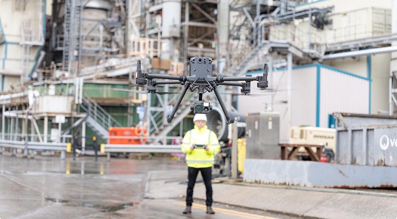
Deploying drone technology effectively in public safety operations requires more than hardware. It demands trained operators, certified flight crews, and systems that comply with GCAA regulations and local airspace coordination protocols – particularly in environments where manned military and civilian aircraft are operating simultaneously.
Gulfnet Emirates provides internationally aligned training and certification programmes that prepare public safety teams for real-world drone operations in high-pressure environments. This includes mission planning for complex airspace, thermal payload interpretation, autonomous system management, and compliance with UAE regulatory frameworks. The objective is to ensure that when an incident occurs, the team operating the drone is as prepared and capable as the technology they are flying.
The challenges facing UAE public safety agencies today are concrete and immediate: multi-site incident management in active threat environments, rapid damage assessment across urban and industrial zones, search and rescue in complex terrain, and continuous monitoring of critical infrastructure under sustained regional pressure.
Enterprise drone and robotics systems address these challenges through a clear operational framework: rapid aerial deployment for real-time situational awareness, thermal and sensor-based intelligence that reveals what ground teams cannot see, autonomous dock-based systems that eliminate response delays, and data processing platforms that turn raw aerial data into structured, actionable reports. These capabilities do not replace first responders – they make them faster, safer, and better informed.
If your agency or organisation is responsible for emergency management, civil defence, or critical infrastructure protection in the UAE, the question is not whether drone technology is relevant to your operations. It is whether you are operationally ready to deploy it when the next incident occurs.
Gulfnet Emirates works with government agencies, civil defence organisations, and infrastructure operators across the GCC to design, deploy, and support enterprise drone systems built for exactly these scenarios. Request a consultation to assess your operational readiness and explore a deployment framework tailored to your specific requirements.
1. How do drones support first responders during active emergency situations in the UAE?
Drones provide real-time aerial video, thermal imaging, and sensor data directly to incident commanders within minutes of an alert. This allows response teams to assess scene conditions, locate casualties, identify hazards, and allocate resources based on verified intelligence rather than fragmented ground-level reports – significantly reducing initial assessment time and improving coordination across multi-agency responses.
2. Can autonomous drone systems operate without a pilot on-site during an emergency?
Yes. Dock-based, autonomous drone-in-a-box systems can be pre-positioned at critical infrastructure sites, civil defence stations, or high-risk zones. These systems launch, capture data, return, and recharge without human intervention. They can be triggered automatically by sensors or alarms, or launched on-demand from a remote command centre, enabling aerial response in seconds rather than the 20–40 minutes a crewed deployment typically requires.
3. What types of sensors and payloads are used in public safety drone operations?
Public safety drone missions typically use a combination of high-resolution visual cameras, thermal imaging sensors, and in some cases gas detection or multispectral payloads. Thermal cameras are critical for detecting heat signatures through smoke, dust, and darkness – helping locate trapped individuals, track fire progression, and identify hazardous material dispersal patterns that are invisible to the human eye.
4. How does drone-captured data support post-incident recovery and planning?
High-resolution imagery, thermal data, and LiDAR scans captured during and after incidents are processed into orthomosaic maps, 3D models, and detailed damage reports using advanced data processing platforms. These deliverables support precise damage quantification, insurance documentation, reconstruction planning, and structured resource allocation – enabling agencies to move from reactive recovery to data-driven decision-making.
5. Are public safety drone operations compliant with UAE aviation regulations?
All professional public safety drone operations must comply with GCAA (General Civil Aviation Authority) regulations and local airspace coordination protocols. This includes securing necessary flight permissions, operating within approved airspace, and coordinating with manned aircraft – particularly critical in the current environment where military and civilian aviation are operating simultaneously. Certified operators trained through internationally aligned programmes ensure full regulatory compliance during high-pressure emergency missions.
 Go back