If you are planning a road widening, utility corridor, or new alignment project in the UAE and your survey team is still relying solely on total stations and ground-based GPS, you are likely spending weeks on field work that could be captured in days, while still ending up with data gaps in areas that are difficult or unsafe to access on foot. LiDAR-equipped aerial platforms have changed this equation significantly for infrastructure projects across the region, but the technology is often misunderstood, overgeneralized, or confused with standard photogrammetry.
This blog explains what LiDAR drone surveying actually does, how it differs from photogrammetry, where it delivers the most value on UAE infrastructure projects, and how to determine when your project genuinely needs it versus when simpler methods will suffice.
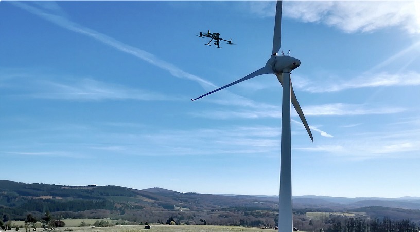
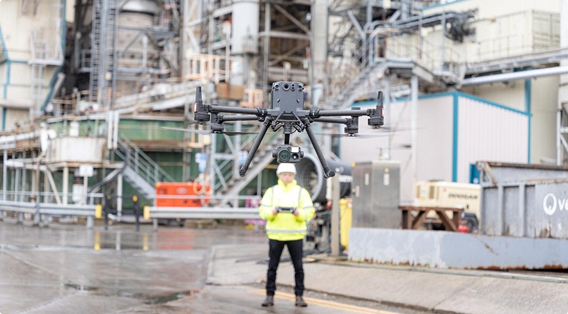
LiDAR stands for Light Detection and Ranging. When mounted on an enterprise-grade aerial platform, a LiDAR sensor emits thousands of laser pulses per second toward the ground and measures the time it takes for each pulse to return. This creates a dense three-dimensional point cloud: a dataset of millions of precisely located elevation points that represents the physical shape of the terrain, structures, and objects below.
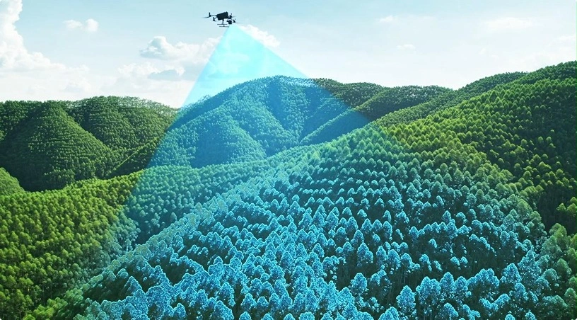
What makes LiDAR distinct from camera-based photogrammetry is its ability to penetrate gaps in surface cover. Laser pulses can pass through tree canopy, low vegetation, and loose ground cover to reach the actual terrain surface beneath. In photogrammetry, the camera captures what is visible from above, meaning vegetation, sand drifts, or surface debris become part of the model. LiDAR separates these layers, allowing engineers and surveyors to extract a bare-earth terrain model even in areas where the ground is not directly visible.
For UAE infrastructure projects, this matters more than it might seem at first glance. While much of the country’s terrain is open desert, many corridor projects run through areas with dense landscaping along urban road networks, wadi systems with irregular vegetation, or industrial zones where ground clutter obscures the actual surface. In these conditions, photogrammetry alone produces a surface model that includes the obstructions, not the ground engineers need to design against.
The aerial platform carries the LiDAR sensor alongside an RTK-enabled GNSS receiver and an inertial measurement unit (IMU). Together, these systems ensure that every point in the cloud is geo-referenced with centimeter-level positional accuracy. Ground control points placed across the survey area provide additional calibration, and the resulting dataset is processed through specialized software to classify features, filter noise, and generate engineering-ready deliverables.
Traditional ground-based surveying using total stations and GNSS rovers is precise at each individual measurement point, but it is inherently slow and limited in coverage density. A ground crew surveying a 10-kilometer road corridor captures a selection of spot levels, cross-sections at defined intervals, and features they can physically access. The result is a dataset built from discrete points that requires interpolation between them.
LiDAR captures the same corridor with hundreds of points per square meter, producing a continuous surface model rather than an interpolated one. The practical difference is significant: subtle grade changes, drainage patterns, shoulder conditions, and median profiles that fall between traditional cross-section intervals are all captured in the LiDAR point cloud.
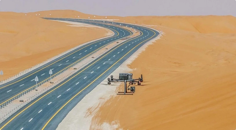
Speed of data acquisition is the most immediately noticeable advantage. A LiDAR-equipped aerial platform can survey several kilometers of road corridor in a single flight session. The same scope with a ground crew typically requires multiple days of field work, traffic management coordination, and crew rotation. For active road networks in the UAE, where lane closures require permits and create downstream congestion, the reduced field presence translates directly into fewer disruptions and lower traffic management costs.
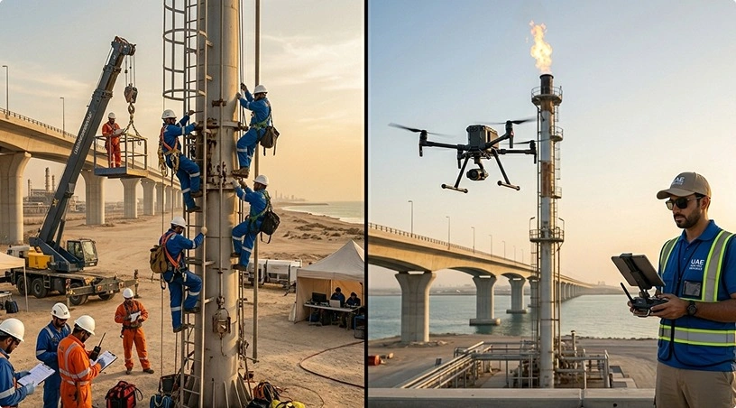
Access to difficult terrain extends the survey reach beyond what ground crews can safely cover. Wadi crossings, elevated interchange structures, embankments, and areas adjacent to active traffic lanes are all captured from the air without placing personnel in hazardous positions. For bridge approach surveys, the aerial platform captures the road surface, shoulders, abutments, and surrounding terrain in one continuous dataset, eliminating the need to combine separate ground surveys taken at different times and potentially different reference standards.
Data density and completeness support better engineering outcomes. When a design engineer works from a LiDAR-derived surface model, they are working with a dataset that represents the actual terrain at high resolution rather than an approximation interpolated from sparse measurements. This reduces the risk of design errors caused by undetected grade changes, unmapped drainage features, or surface irregularities that fell between traditional survey lines.
Both LiDAR and photogrammetry are aerial survey technologies, and both produce point clouds and surface models. The choice between them depends on site conditions and project requirements, not on which technology is newer or more expensive.
Choose LiDAR when the project corridor passes through areas with vegetation cover, complex terrain, or vertical structures that obstruct the ground surface. LiDAR’s ability to penetrate canopy and classify ground returns from non-ground objects makes it the right tool for vegetated wadi corridors, landscaped urban road networks, utility easements with overhead structures, and any site where the bare-earth surface needs to be mapped accurately beneath surface clutter. Infrastructure and corridor projects with vertical elements, such as bridges, retaining walls, and sound barriers, also benefit from the three-dimensional density of LiDAR point clouds.
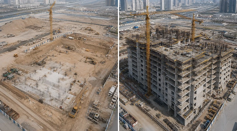
Choose photogrammetry when the site is open, the ground surface is clearly visible from above, and the primary deliverables are orthomosaic maps, visual documentation, or surface models of exposed terrain. Large-scale earthwork monitoring on cleared construction sites, stockpile volumetric measurement, and open desert alignment surveys are all scenarios where photogrammetry delivers survey-grade results at lower cost because there is no vegetation or clutter to penetrate.
Combine both when the project requires visual and terrain data. Many infrastructure programs pair LiDAR for accurate elevation modeling with photogrammetry for high-resolution orthomosaic imagery. The LiDAR provides the terrain accuracy, while the orthomosaic provides the visual context for planning documents, stakeholder presentations, and as-built records. Enterprise platforms equipped with both LiDAR sensors and high-resolution cameras can capture both datasets in a single flight, reducing mobilization costs and ensuring spatial alignment between the two products.
Understanding the output is as important as understanding the technology. A LiDAR survey for a UAE infrastructure project typically produces several interconnected deliverables.
Classified point clouds are the foundational dataset. Each point is assigned a classification: ground, vegetation, building, bridge deck, power line, and so on. This classification enables engineers to isolate the specific surface or feature they need for design, analysis, or measurement without manually filtering millions of data points.
Digital terrain models (DTMs) represent the bare-earth surface with vegetation and structures removed. These models drive earthwork calculations, drainage analysis, and vertical alignment design. For road and highway projects, the DTM is the surface that determines cut-and-fill volumes, grade design, and subgrade preparation requirements.
Digital surface models (DSMs) represent the top of whatever is visible, including buildings, vegetation, and infrastructure. Comparing the DSM against the DTM reveals vegetation height, structure clearances, and obstruction profiles relevant to corridor planning.
Contour maps and cross-sections are derived from the terrain model and delivered in formats compatible with CAD, GIS, and engineering design software. These outputs integrate directly into design workflows, eliminating the manual digitization step that traditional survey data often requires.
All deliverables are processed through validated workflows and delivered in standard formats aligned with engineering, GIS, and construction requirements. For projects with recurring survey needs, repeat flights using the same flight paths and processing parameters enable direct comparison across survey cycles, supporting progress monitoring, quantity verification, and change detection over time.
LiDAR drone surveying is not a universal replacement for every survey method, but for the right applications, it delivers a combination of speed, accuracy, coverage density, and terrain penetration that traditional methods and photogrammetry alone cannot match. To recap:
LiDAR captures high-density, centimeter-accurate point clouds that represent actual terrain, not interpolated approximations from sparse ground measurements. Its ability to penetrate vegetation and surface clutter makes it the preferred method for corridor surveys, wadi crossings, and sites where bare-earth data is essential.
Photogrammetry remains the better choice for open sites where visual documentation and surface modeling are the primary needs, and the two technologies combine effectively on projects that require both terrain accuracy and visual context. Deliverables integrate directly into engineering design workflows in standard CAD and GIS formats, supporting design, earthwork calculation, and quantity control.
For infrastructure teams planning surveys across the UAE, the decision framework is straightforward: assess whether your site conditions require terrain penetration or surface-only mapping, and select the technology accordingly.
Gulfnet provides surveying, mapping, and measurement services for infrastructure projects across the UAE and wider GCC, including LiDAR mapping and classification, aerial photogrammetry, topographic surveying, and volumetric measurement. Our enterprise drone platforms, certified operations, and data processing workflows deliver engineering-grade outputs that support planning, design, and construction decisions. Request a consultation to scope your next survey.
What accuracy can LiDAR drone surveys achieve on UAE infrastructure projects?
LiDAR drone surveys typically achieve centimeter-level vertical and horizontal accuracy when combined with RTK-enabled GNSS, an inertial measurement unit, and properly distributed ground control points. Achievable accuracy depends on flight altitude, sensor specifications, and site conditions. Accuracy parameters are defined during project planning and documented in deliverables.
When should a UAE infrastructure project choose LiDAR over photogrammetry for surveying?
LiDAR is the better choice when the survey corridor includes vegetation cover, complex terrain, or vertical structures that obstruct the ground surface. Its laser pulses penetrate canopy and surface clutter to map bare-earth terrain. Photogrammetry suits open, clearly visible sites where orthomosaic imagery and surface models are the primary requirement.
How long does a LiDAR drone survey take compared to traditional ground-based surveying?
A LiDAR-equipped aerial platform can survey several kilometers of road corridor in a single flight session lasting hours. The equivalent scope with ground crews typically requires multiple days of field work and traffic management. Data processing and final deliverables follow within an agreed schedule based on project scope and complexity.
What deliverables do engineers receive from a LiDAR drone survey?
Standard deliverables include classified point clouds, digital terrain models, digital surface models, contour maps, and cross-sections. All outputs are delivered in formats compatible with CAD, GIS, and engineering design software. Feature classification separates ground, vegetation, structures, and infrastructure for streamlined integration into design and planning workflows.
Can LiDAR and photogrammetry be combined in a single drone survey flight?
Yes. Enterprise aerial platforms equipped with both LiDAR sensors and high-resolution cameras capture both datasets simultaneously. LiDAR provides accurate terrain elevation data while photogrammetry delivers visual orthomosaic imagery. This combined approach reduces mobilization costs and ensures spatial alignment between terrain models and visual documentation.
 Go back