

If your firm is bidding into the Al Maktoum International Airport expansion, or already holds a package on it, your monitoring, surveying, and documentation obligations just changed scale. A tower project lets you verify quantities with a survey crew and weekly site walks. An airport programme moving tens of millions of cubic metres of earth across square kilometres does not.
This blog converts the published DWC numbers into four measurable monitoring workloads and shows how aerial data capture handles each at a pace ground methods cannot match.
Dubai Airports has confirmed the scale in hard figures. According to The National’s reporting on the expansion, Dh13 billion in contracts have been awarded this year, a further Dh55 billion will be awarded by the end of 2026, and the first phase is scheduled to open in 2032 with capacity for 150 million passengers annually.
The same report puts numbers on the physical work already done: 17,000 piles in the ground, 45 million cubic metres of earth moved, roughly 9,000 workers on site today, and a peak workforce projected at 120,000.
Each of those figures is also a monitoring workload, and read that way the programme breaks into the four verification jobs that structure this blog:
Earthworks disputes rarely start with bad faith. They start with two parties measuring the same cut, fill, or stockpile with different methods on different days. At airport scale, where stockpiles change shape overnight, wheel counts and periodic total station surveys cannot keep the quantity record current.
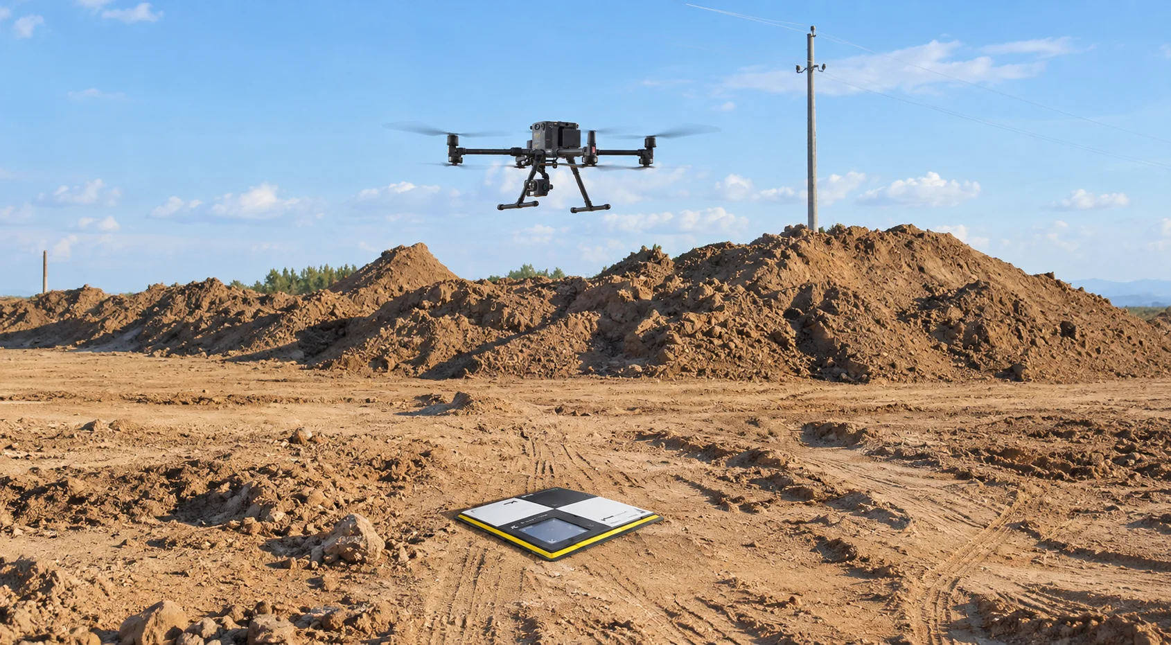
Photogrammetry and LiDAR flights solve the currency problem. A drone survey of an active earthworks zone produces a georeferenced surface model in hours, and repeating the same flight plan on a fixed cadence turns those surfaces into a volume ledger. Cut and fill between any two dates becomes a calculation, not an estimate, and stockpile volumes carry survey-grade accuracy into material reconciliation and progress billing.
For a programme awarding contracts in waves, this matters commercially. Every earthworks package closed with an agreed, data-backed measurement history is one that does not resurface as a claim later. The drone-based construction monitoring and measurement capabilities built for GCC sites are designed around exactly this repeatable capture cycle.
Piling is the phase most likely to disappear from the visual record. Once caps are poured and the superstructure rises, evidence of what went into the ground exists only in the documentation captured at the time. At Al Maktoum, that documentation must cover thousands of locations without slowing the rigs down.
Scheduled aerial capture builds that record passively. High-resolution orthomosaics flown over active piling zones timestamp the position and status of every rig, cap, and completed cluster without a single site walk. Oblique imagery adds context for interface points where one contractor’s scope meets the next. Over months, the archive becomes a searchable as-built history that answers questions long after the teams involved have demobilised.
That distinction between a searchable record and a reconstructed one separates defensible progress reporting from optimistic reporting. Also read our breakdown of construction site monitoring for GCC project managers, which covers how repeatable flight paths replace subjective status updates with verifiable visual evidence.
A peak workforce of 120,000 implies a site where no single person can hold the current state in their head. Laydown areas migrate, haul routes shift, and temporary works appear and vanish between reporting cycles. When contractors plan against a site picture that is days old, clashes get discovered on the ground instead of on screen.
Frequent aerial capture compresses that information lag:
The payoff compounds as the contract wave lands. Each new package mobilising onto the site inherits an accurate picture of the ground it is joining, which shortens the most error-prone weeks of its engagement.
Progress certification is where monitoring quality turns into money. McKinsey research on megaproject delivery estimates that 98 percent of megaprojects suffer cost overruns of more than 30 percent, with inconsistent reporting between owners, contractors, and subcontractors named among the causes. When the parties certifying payment cannot see the same evidence, the gap fills with negotiation.
A continuous aerial record narrows that gap. Volumetric data supports earthworks and material payments. Time-stamped imagery supports milestone claims. Comparative captures give extension-of-time assessments a factual account of when zones changed hands and work started. None of this removes commercial tension from a Dh55 billion contract portfolio, but it moves the argument from recollection to record.
The cost logic behind this shift is covered in our related analysis of drone versus manual inspection economics on UAE construction projects, which quantifies where aerial data capture undercuts conventional methods.
The framework closes where it opened, with the four workloads. Earthworks needs repeatable volumetric surveys that keep the quantity ledger current. Structural documentation needs scheduled aerial capture that preserves the as-built record before it is buried. Coordination needs frequent full-site imagery that gives every contractor a shared, up-to-date view of the ground. Payments need all three feeding a certification process built on evidence rather than estimates.
Teams that stand this capability up at mobilisation, rather than after the first dispute, carry the advantage for the life of the programme. With Dh55 billion in contracts landing by year end, that window is open now.
Gulfnet Emirates supports contractors, consultants, and project owners across the UAE with Aerial Inspection, Surveying, Mapping and Measurement, and Monitoring and Documentation services, delivered by GCAA-certified pilot teams as an authorised DJI Enterprise dealer, with data managed through the Gulfnet Insight platform. Visit gulfnetemirates.com/dronesandrobotics to scope a monitoring programme matched to your package.
How accurate is drone volumetric measurement for airport earthworks billing?
Photogrammetry and LiDAR surveys flown with ground control deliver survey-grade volumetric accuracy suitable for progress billing and material reconciliation. Repeating identical flight plans on a fixed cadence produces comparable surfaces between dates, so cut, fill, and stockpile changes are calculated directly rather than estimated, giving both parties a shared, auditable quantity record.
Can drone monitoring operate near an active airport site in the UAE?
Yes, with the correct approvals. GCAA-certified pilot teams plan flights within approved airspace coordination procedures, which is essential around aviation infrastructure. Professional operators manage permissions, no-fly boundaries, and scheduling with site and aviation stakeholders, so monitoring continues on cadence without interfering with construction operations or protected airspace requirements.
How often should a megaproject site be flown for progress monitoring?
Cadence should match decision cycles. Most large GCC programmes fly full-site captures weekly during active phases, with daily or twice-weekly flights over critical zones such as piling fronts or logistics corridors. Milestone-based flights supplement the schedule around handovers, and the cadence adjusts as packages mobilise and demobilise.
What deliverables does aerial construction monitoring actually produce?
Typical outputs include georeferenced orthomosaics, 3D surface and terrain models, volumetric reports for cut, fill, and stockpiles, time-stamped progress imagery, and comparative overlays between capture dates. Deliverables sit in a centralised platform where project teams measure, compare, and share data with controlled stakeholder access.
How does aerial monitoring reduce payment disputes on large contracts?
Disputes usually trace back to unverifiable progress claims. A continuous aerial record ties every payment application to time-stamped imagery and measured quantities, so certification rests on evidence both sides can inspect. That shortens negotiation, supports fair extension-of-time assessments, and protects contractors and owners equally when accounts close.
 Go back
