
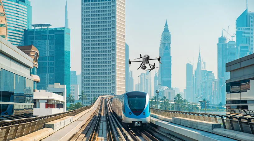
If you are responsible for the condition of rail infrastructure, or for civil works anywhere near it, September 30 changes your job. Etihad Rail’s Dubai Al Yalayis Station opens on that date alongside Al Dhaid Station in Sharjah, bringing passenger service into one of the busiest development zones in the UAE.
Assets inspected on a construction schedule must now be assured on an operating schedule, at passenger safety standards, without possessions that disrupt a public timetable. This blog reads the launch as four inspection signals that asset owners, contractors, and consultants can act on before launch day.
Dubai Al Yalayis Station begins operations on September 30, 2026, with the Dubai to Abu Dhabi journey taking around 57 minutes. This follows the launch of passenger services between Abu Dhabi and Fujairah on June 30, so the network is now a national passenger railway in active expansion.
For inspection teams, the change arrives as four converging signals:
Each signal points to a different way aerial data closes the gap between what a railway needs to know and what ground teams can practically capture.
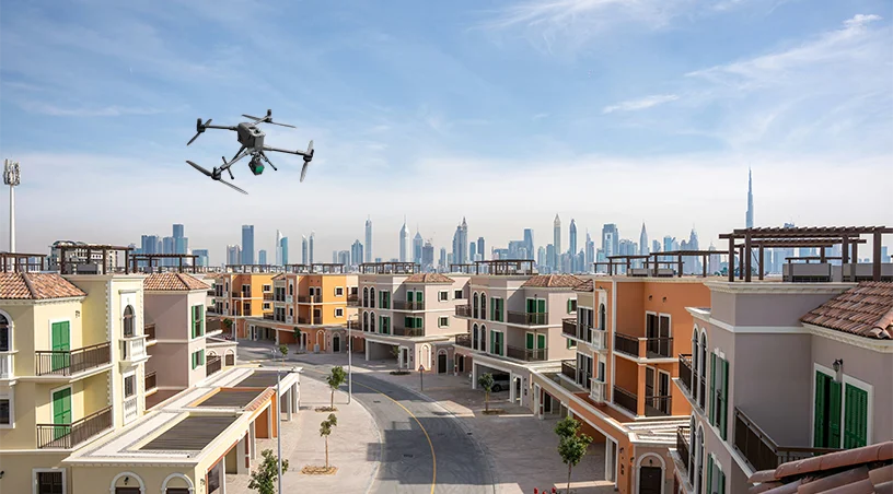
Al Yalayis Station sits along Sheikh Mohammed Bin Zayed Road near Jumeirah Golf Estates, within reach of Al Furjan, Dubai Investment Park, Green Community, Dubai Production City, Expo City Dubai, and Dubai South. A corridor threading through active communities and a major highway is far harder to inspect than one crossing open desert.
Access windows shrink, walking inspections compete with live traffic and adjacent construction, and any lapse in embankment, drainage, or fencing condition is visible to thousands of daily commuters.
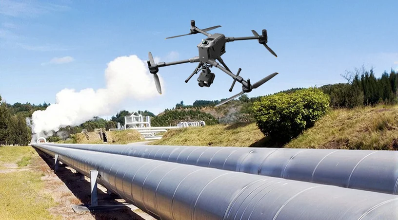
Aerial inspection resolves that access problem directly, because GCAA-certified pilot teams fly the corridor from safe standoff positions without anyone stepping onto the alignment. One flight programme captures:
Teams already applying this approach to road assets can also read how drone-based bridge inspection removes lane closures and access bottlenecks across the UAE highway network.
A dedicated footbridge is under construction to connect Al Yalayis Station with Jumeirah Golf Estates Metro Station on the Red Line, stitching the national railway into Dubai’s urban transit system.
That bridge, the station envelope, car parks, access roads, and drainage works form an interface zone where multiple contractors, authorities, and asset owners overlap. Interface zones are where documentation gaps live, because each party records only what it owns.
Regular aerial monitoring closes those gaps by capturing the whole precinct in a single dataset on a fixed cadence. Orthomosaics and progress imagery document what was built, when, and by whom, creating a shared visual record that survives contractor demobilisation and handover disputes.
During the final push to launch, the same flights track earthworks, hoarding lines, and laydown areas around live railway infrastructure, giving project directors evidence rather than assumption. This is the discipline of monitoring and documentation applied where it matters most: assets that several organisations touch and none fully sees.
Construction verification is a one-time gate, but passenger operation is a permanent obligation. Once revenue service begins, rails, sleepers, ballast, structures, and lineside equipment must be tracked continuously, and every inspection must fit around a published timetable.
The traditional answer, possessions and manual patrols, gets more expensive precisely when the railway becomes more valuable. Drone-based corridor flights invert that economics, since scheduled missions cover kilometres of alignment in a fraction of a walking patrol’s time, and dock-based autonomous systems add routine coverage without a crew on site.
Sequential datasets are then compared flight over flight, so degradation shows up as measurable change rather than as surprises:
Utilities have already proven this model, and reading how drone inspection of power line corridors moves utilities from calendar-based to condition-based maintenance across the UAE grid shows how that transition works.
The Dubai launch is a milestone rather than an endpoint, because Dubai has approved the Dh34 billion Metro Gold Line, a planned 42 kilometre route with 18 stations that will integrate with Etihad Rail and is scheduled for completion in 2032, and southern Dubai continues to expand with new residential, commercial, aviation, and infrastructure projects around Al Maktoum International Airport.
Each project will need to know exactly where the railway and its protection zones sit before design begins. That is a surveying, mapping, and measurement problem, and the organisations that capture accurate baseline data now will spend far less resolving clashes later.
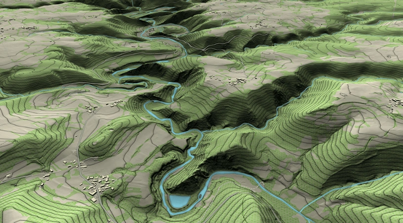
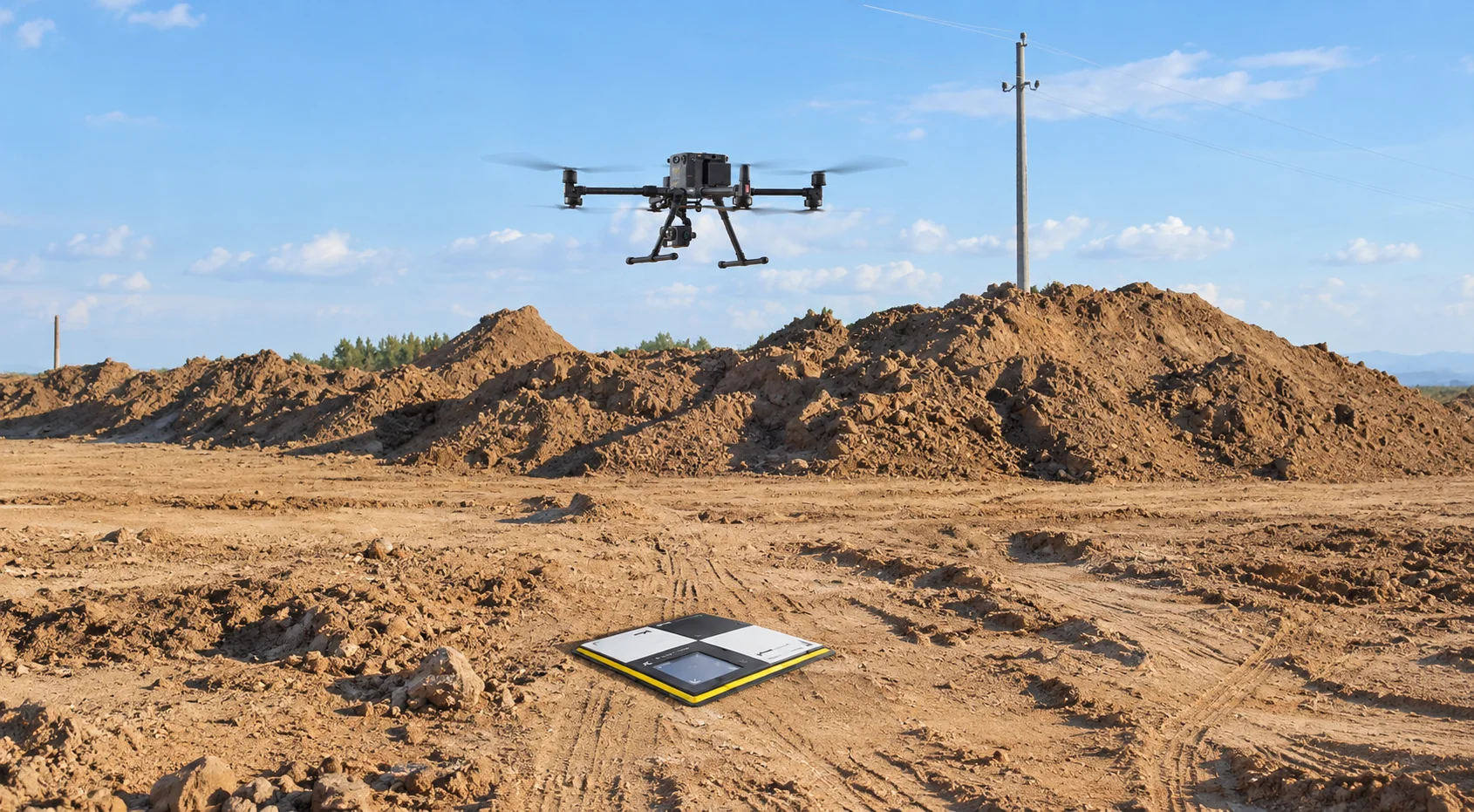
Photogrammetry and LiDAR flights produce survey-grade terrain models, corridor cross-sections, and volumetric measurements of earthworks that feed directly into design software. When a future alignment, station expansion, or adjacent development is planned, the reference model already exists, timestamped and defensible.
The teams behind enterprise drone, robotics, and AI-powered solutions build exactly these datasets for infrastructure owners across the UAE, processed through platforms such as Gulfnet Insight so that raw imagery becomes measurable, shareable intelligence.
Read the four signals together and the plan writes itself:
Any team that addresses all four enters the launch cycle with evidence instead of exposure.
Gulfnet Emirates supports rail operators, contractors, and engineering consultants across the UAE with Aerial Inspection, Surveying, Mapping and Measurement, and Monitoring and Documentation services, delivered by GCAA-certified pilot teams as an authorised DJI Enterprise dealer, with analytics through the Gulfnet Insight platform. Visit gulfnetemirates.com/dronesandrobotics to scope a rail corridor programme before the trains start running.
Can drones inspect an operational rail corridor without track possessions?
Yes. Enterprise drones fly the alignment from positions well clear of the danger zone, capturing high-resolution visual and thermal data of track, structures, and lineside assets while services run. This removes most routine possession requirements, cuts inspection cost, and keeps personnel off a live railway entirely.
What can aerial surveying deliver for rail and metro projects in the UAE?
Photogrammetry and LiDAR flights produce survey-grade terrain models, corridor cross-sections, clearance measurements, and earthworks volumes tied to precise coordinates. Design teams use these datasets for alignment planning, clash detection, and protection zone verification, replacing weeks of ground survey with days of flying plus controlled data processing.
How does drone monitoring help contractors working near live rail infrastructure?
Scheduled flights document site conditions, plant positions, hoarding lines, and earthworks progress on a fixed cadence. The geo-referenced record proves compliance with railway protection requirements, supports progress claims, and resolves interface disputes between contractors, giving project directors visual evidence rather than competing verbal accounts when questions arise.
How often should a passenger rail corridor be flown for condition monitoring?
Cadence depends on asset criticality, but most operators combine monthly corridor flights with targeted inspections after storms, incidents, or adjacent construction activity. Comparing sequential datasets reveals settlement, ballast migration, vegetation encroachment, and boundary intrusion as quantifiable change, supporting condition-based maintenance instead of fixed calendar schedules.
Who can legally operate inspection drones near rail assets in the UAE?
Operations near railways require GCAA-certified pilots, approved flight permissions, and coordination with the asset owner and relevant authorities. Working with an established enterprise drone services provider ensures permits, insurance, airspace approvals, and safety cases are handled correctly, so inspection programmes launch quickly without regulatory exposure.
 Go back
