Detecting a small methane leak on a pipeline that runs across hundreds of kilometres of UAE terrain is the kind of problem where every traditional method has a gap. Foot patrols are slow and miss leaks between rounds. Fixed sensors only see what happens near them. Satellites catch large releases but miss smaller fugitive emissions. This blog covers how AI-powered drones fit into UAE pipeline inspection: what methane sensors on drones actually detect, where AI improves accuracy, and how oil and gas operators should structure an inspection programme that catches leaks early and reduces the risk of unplanned shutdowns or regulatory penalties.
Most UAE pipeline networks are covered by a mix of SCADA pressure monitoring, periodic helicopter surveys, and ground foot patrols. This combination works for large ruptures. It falls short in four specific places.
The first gap is small fugitive emissions. Losses of a few kilograms per hour do not move pressure readings enough to trigger SCADA alarms, but they add up to significant methane release over a year. The second gap is remote sections, where helicopters cannot fly low and ground teams cannot get access, so those stretches get checked far less often than they should be. The third gap is time between checks. A monthly foot patrol means a small leak can run for weeks before anyone notices. The fourth is right-of-way encroachment, where new construction or unauthorized digging near the pipeline is only spotted after damage is done.
The four gaps above are what drone-based methane detection is built to close. Drones carry two main sensor types for gas detection: laser-based methane detectors that measure gas concentration along the beam path, and optical gas imaging cameras that visualise the plume directly. The laser sensors, based on tunable diode laser absorption spectroscopy, pick up methane concentrations well below the levels that trigger fixed detectors. Combined with GPS logging and wind data, each reading gets located precisely along the pipeline route.
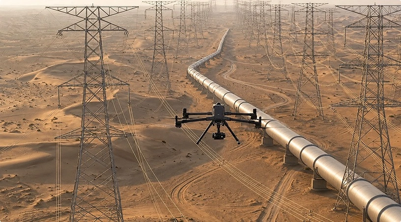
Drones fly the route at low altitude and steady speed, capturing continuous readings that are geotagged and time-stamped. Depending on the aircraft, sensor payload, and operational requirements a typical patrol covers tens of kilometres of pipeline in a single flight , with the data reviewed as a heat map showing where readings exceeded the baseline. GCAA-certified pilot teams handle the flight planning, airspace approvals, and safety procedures needed for beyond-visual-line-of-sight operations along linear infrastructure.
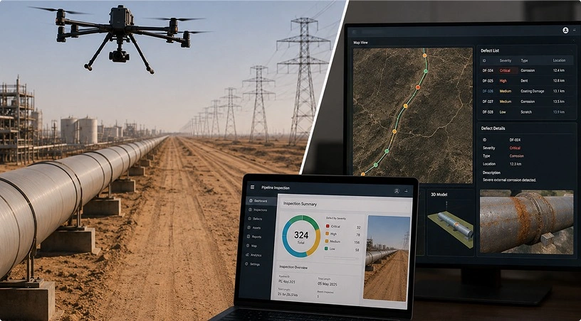
Raw sensor data from the field is noisy. Wind shifts, background methane from natural sources, and sensor drift all produce readings that look like leaks but are not. This is where AI adds measurable value. Classification models trained on real leak data separate genuine methane signatures from environmental noise. Localisation algorithms combine gas readings with wind vectors to trace the plume back to the likely source point, often within a few metres. Trend analysis across successive flights flags slow-growing leaks that would be invisible in any single dataset.
According to a McKinsey analysis of methane abatement in oil and gas, continuous or high-frequency monitoring backed by analytics cuts detection times from months to days, with emissions reductions directly proportional. An AI-powered analytics layer attached to the inspection programme is what turns drone flights into a monitoring system rather than a series of one-off checks.
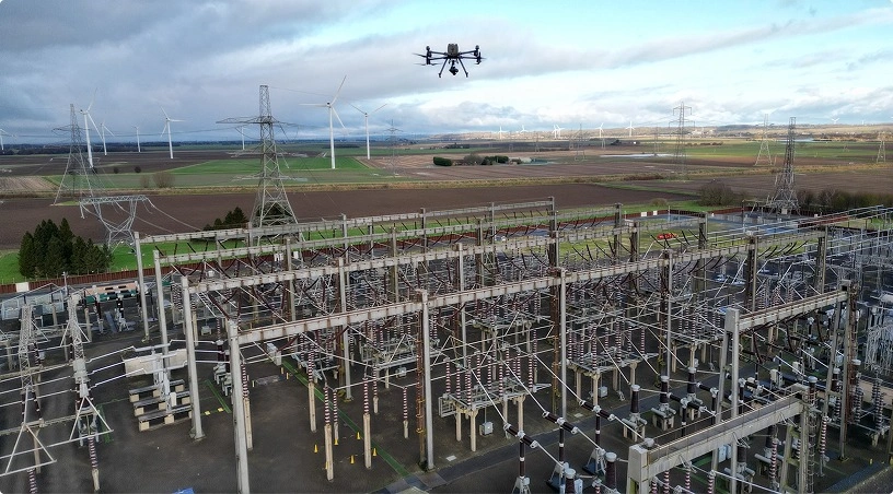
A pipeline patrol flight collects more than gas readings, and the extras matter for leak prevention. The same drone carries visual and thermal payloads that pick up conditions leading to leaks if left alone. Thermal cameras detect hot spots on above-ground sections that indicate insulation failure or friction points. High-resolution RGB imagery captures signs of soil disturbance along the right of way, often the earliest indicator of encroachment or third-party digging. Corrosion patches on exposed pipework, ponding or vegetation stress that suggests a buried leak, and unauthorised structures inside the safety corridor all show up in the same dataset.
Related: DJI Enterprise Industrial Inspection covers the payload combinations used across hydrocarbon assets. On pipelines, one flight collects data for multiple problems, and the analytics layer sorts what matters from what does not.
Detection technology only matters if it flies often enough. The value of drone-based methane monitoring is not one flight but a repeating schedule matched to the risk profile of each pipeline segment. Higher-risk segments near populated areas, water crossings, or sections with a history of issues need more frequent flights, often monthly. Lower-risk segments in stable desert terrain may be checked quarterly. Guidance from the International Association of Oil and Gas Producers on leak detection and repair supports a risk-based approach, where inspection frequency scales with consequence rather than being uniform across the network.
Also Read: Reducing Drone Inspection Costs for how cadence, coverage, and pricing interact on large networks. Dock-based autonomous operations at selected sites can push frequency higher on critical segments without a proportional increase in cost, because the drone launches, flies its route, and returns without a pilot being physically present.
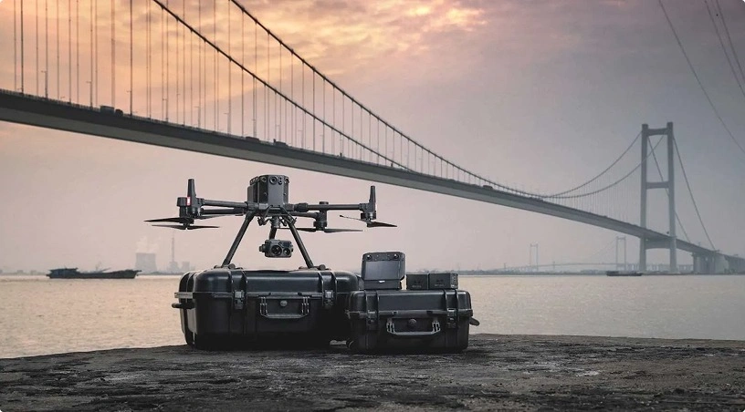
A working pipeline programme has three components: certified flight operations, a sensor stack matched to the leak types being targeted, and an analytics platform that turns readings into action items for the maintenance team. GCAA-certified pilots, DJI Enterprise payload configurations for laser methane detection and thermal imaging, and a strong engineering team handling data processing are what turn a set of flights into a monitoring service that regulators, insurers, and operations leadership can rely on.
The gaps in traditional pipeline monitoring are specific: missed small leaks, undercovered remote sections, long intervals between checks, and unseen right-of-way changes. Drone-based methane detection is built to close each of these, and AI classification, localisation, and trend analysis are what convert flight data into decisions. UAE operators structuring inspection cadence around risk profile rather than uniform frequency get the biggest value: earlier detection, lower emissions, and fewer unplanned interventions.
If you are building or upgrading a pipeline inspection programme in the UAE, Gulfnet Emirates delivers drone-based methane detection and analytics under a managed service built for oil and gas operators.
How do drones detect methane leaks on pipelines?
Drones carry laser-based methane sensors, typically using tunable diode laser absorption spectroscopy, that measure gas concentration along the beam path as the drone flies over the pipeline. Combined with wind data and GPS logging, readings are located along the route and mapped as a heat map showing where concentrations exceeded the baseline.
How accurate is drone-based methane detection?
Modern laser methane sensors detect concentrations well below one part per million and can identify leaks as small as a few kilograms per hour under normal conditions. Field accuracy depends on flight speed, altitude, wind, and sensor calibration. AI classification reduces false positives by separating genuine leak signatures from environmental methane sources.
How often should UAE pipelines be inspected with drones?
Inspection frequency should scale with risk. Higher-risk segments near populated areas, water crossings, or sections with historical issues warrant monthly flights. Lower-risk segments in stable terrain can be checked quarterly. Dock-based autonomous drones allow more frequent coverage on critical sections without a proportional increase in cost per flight.
Can drone patrols replace foot patrols and helicopter surveys?
Drone patrols cover ground faster than foot patrols and pick up smaller leaks than helicopter surveys, but a complete programme usually blends methods. Drones handle routine, frequent checks and detailed methane surveys. Foot patrols remain useful for physical verification of flagged issues. Helicopters still support very long-distance surveys where drone endurance is limiting.
Are drone pipeline inspections compliant with UAE regulations?
Yes, when operated by GCAA-certified teams following approved flight plans and airspace clearances. Beyond-visual-line-of-sight flights along linear infrastructure such as pipelines require specific approvals. Gulfnet Emirates handles the regulatory side end-to-end, including flight authorisations, safety cases, and reporting for each pipeline programme delivered across the UAE.
 Go back