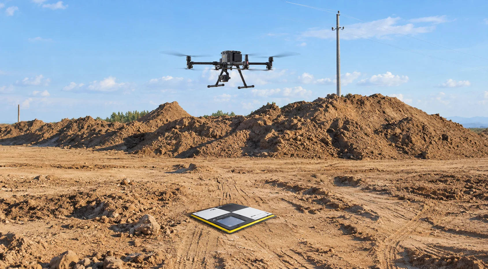
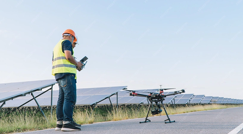
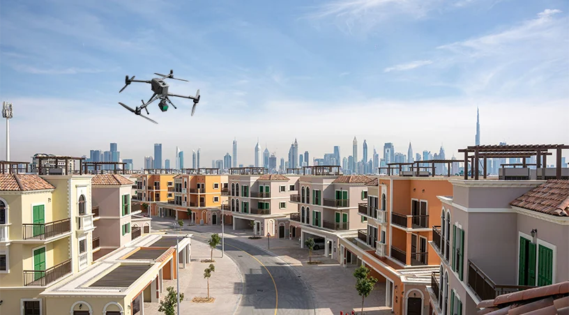
The first time one of our teams flew a job a ground crew had quoted at eleven working days, we finished the capture before the site supervisor signed the second day’s permit. That gap is why the total station is losing its place on GCC programmes. The pace a ground crew can offer no longer fits the pace at which the region builds, and the operators still debating it are losing weeks on every programme.
Consider what the GCC is building. Linear infrastructure running for tens of kilometres, master-planned communities measured in square kilometres, pipeline rights of way, airport expansions, and solar farms stretching to the horizon.
A ground survey crew was never designed for that scale. Asking one to deliver a topographic baseline for a two hundred hectare site means walking, prism in hand, through heat, traffic, and shifting earthworks for weeks, and the data density returned at the end is a fraction of what a single morning flight produces. The gap is a function of the instrument, not the crew.
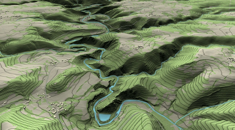
Three capabilities matured inside the same window. RTK corrected UAV platforms now routinely deliver centimetre level precision with properly placed ground control. LiDAR payloads now capture hundreds of thousands of points per second, closing the photogrammetry blind spot over dense vegetation and vertical structures. And the processing pipeline, long the real bottleneck, has caught up: point clouds, orthomosaics, contours, and digital terrain models land directly in AutoCAD, Civil 3D, ArcGIS, and Bentley.
For a project engineer, the effect is practical. The deliverable is no longer a report waiting in a folder, but a live, measurable digital surface of the site that design, planning, and quantity teams can query at any point.
The total station is not disappearing. It is finding a narrower role. Constrained interiors, tight tolerance monitoring on a specific structural element, and physically setting out individual points remain jobs where a prism and a trained surveyor are the right call. On almost every drone programme we run, the ground control points that anchor the aerial dataset are still established using RTK or total station methods. The two approaches are complementary, not competing: the total station is simply moving from being the default for an entire site survey to being a precision tool for specific tasks within one.
If your survey line item still assumes a ground only methodology, three questions matter. What is the delta in field time between a drone led capture and the current method, and what does that mean for programme float? What accuracy does the deliverable need, and can an RTK UAV platform hit it? And who holds the processing in house, because turnaround from capture to usable CAD or GIS layer is where projects gain or lose weeks.
Across oil and gas, construction, infrastructure, and utilities in the GCC, the answers almost always point the same way. The capture happens in hours, the deliverable lands in days, and the crews that would once have spent three weeks on the ground are freed for the work that genuinely needs them.
So the real question is not whether the total station still has a role. It does. The question is whether it should still be the default, and whether the reason for keeping it there is a real one.
 Go back